.jpg?sfvrsn=124bfa04<em>0)
430 m away
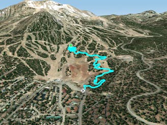
Paper Route Down

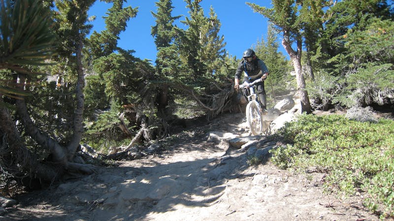
The main two-way singletrack trail traversing the flanks of Mammoth Mountain.
Moderate Mountain Biking
- Distance
- 3.6 km
- Ascent
- 62 m
- Descent
- 49 m
A downhill-only intermediate trail anchoring Mammoth Mountain's easy side.
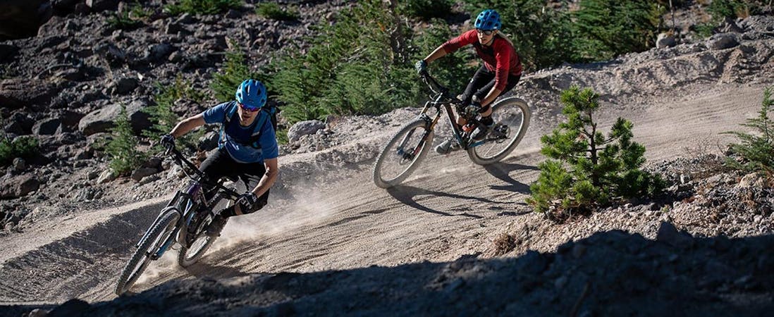
Mountain Biking Moderate

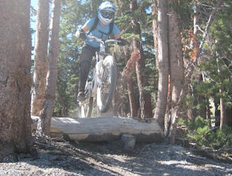
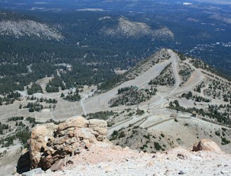
The Juniper Trail is a downhill-only intermediate run that connects from Paper Route all the way down to the Juniper Springs Resort. This laid back trail helps anchor the easy side of Mammoth Mountain Resort. While other aspects of the mountain are filled with uber-gnarly double black diamond trails, the Juniper Springs side is filled with delightful, mellow intermediate trails.
Well-built berms and rolling grade reversals help riders maintain speed and flow in some places but in between those bike-optimized features, riders can expect classic singletrack punctuated by small rocks and roots.
Sources: https://www.youtube.com/watch?v=dx0wrOJpK2g https://d1pdyfnmzhu191.cloudfront.net/images/default-source/master/maps/2019bikeparktrailmapfront2000x1171-(2).jpg?sfvrsn=124bfa040
Moderate
Mostly stable trail tread with some variability, with unavoidable obstacles 8in/20cm tall or less. Other obstacles such as rock gullies and steep sections may exist. Ideal for lower intermediate riders.

The path is on completely flat land and potential injury is limited to falling over.
Close to help in case of emergency.
430 m away
The main two-way singletrack trail traversing the flanks of Mammoth Mountain.
Moderate Mountain Biking
1.2 km away

One of the gnarliest pro lines on Mammoth Mountain.
Extreme Mountain Biking
1.4 km away
An intermediate two-way singletrack trail on Mammoth Mountain.
Moderate Mountain Biking
1.5 km away

Flow trail to the max!
Difficult Mountain Biking
1.6 km away
An extremely varied double black diamond pro-line.
Extreme Mountain Biking
1.7 km away

A surprisingly flowy double black diamond descent.
Extreme Mountain Biking
1.7 km away

One of the best-developed jump lines on Mammoth Mountain.
Extreme Mountain Biking
1.7 km away

A hidden gem in the Mammoth Bike Park.
Severe Mountain Biking
1.9 km away

A chunky black-diamond finish to many top-to-bottom runs.
Severe Mountain Biking
1.9 km away
A flowy intermediate-friendly descent off the top of the mountain.
Difficult Mountain Biking
34 routes · Mountain Biking
8 routes · Mountain Biking
5 routes · Mountain Biking