539 m away
Big Ring
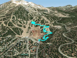
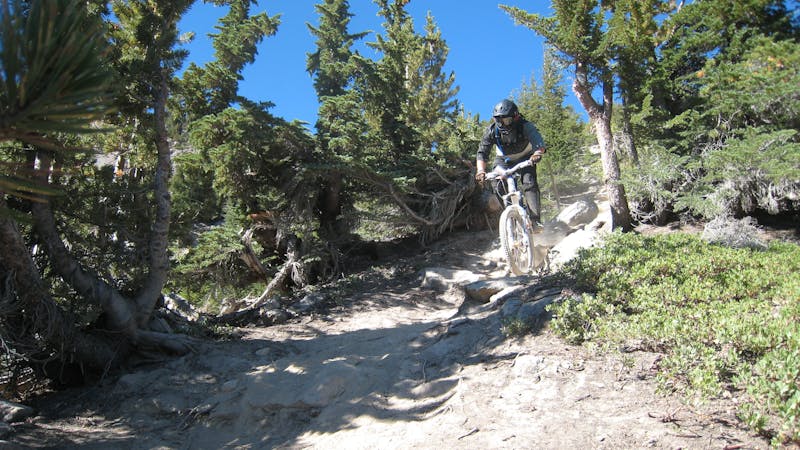
An intermediate two-way singletrack trail on Mammoth Mountain.
Moderate Mountain Biking
- Distance
- 2.6 km
- Ascent
- 1 m
- Descent
- 149 m
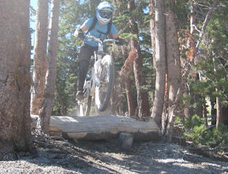
A chunky black-diamond finish to many top-to-bottom runs.
Mountain Biking Severe

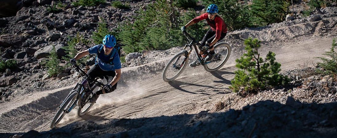
Located near the base of Mammoth Mountain, Shotgun often forms the end to many top-to-bottom runs through the bike park.
This black diamond trail features several big wooden features, including a formidable wall ride. Some sections of this trail traverse classic bench cut singletrack filled with small rock gardens, roots, and other obstacles. Most of the corners are bermed, with pavers reinforcing the berms so they hold up to the constant abuse on this oft-ridden trail.
Lower down, Shotgun gets steeper and more direct, dropping straight down the fall line through a series of high-speed eroded rock gardens
While you might think this will be a chill wrap up to your run, stay on your game because Shotgun doesn’t pull its punches!
Severe
Widely variable, narrow trail tread with steeper grades and unavoidable obstacles of 15in/38cm tall or less. Obstacles may include unavoidable bridges 24in/61cm wide or less, large rocks, gravel, difficult root sections, and more. Ideal for advanced-level riders.
539 m away
An intermediate two-way singletrack trail on Mammoth Mountain.
Moderate Mountain Biking
612 m away

One of the best-developed jump lines on Mammoth Mountain.
Extreme Mountain Biking
612 m away

A hidden gem in the Mammoth Bike Park.
Severe Mountain Biking
695 m away

Flow trail to the max!
Difficult Mountain Biking
910 m away

Chunky black diamond tech trail.
Severe Mountain Biking
1.2 km away

One of the gnarliest pro lines on Mammoth Mountain.
Extreme Mountain Biking
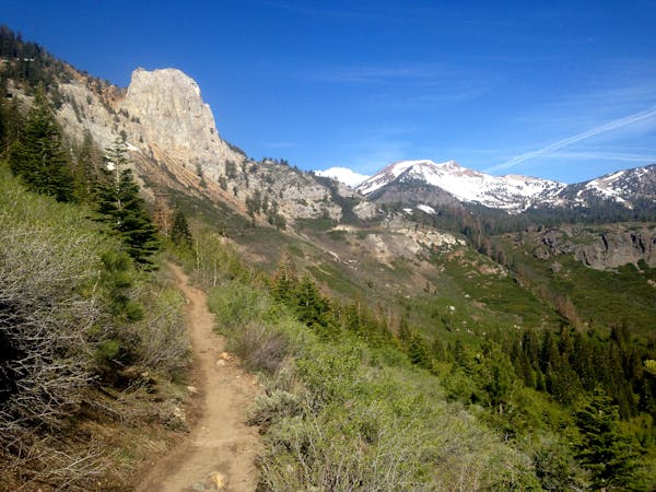
1.3 km away

A flowy intermediate ride with amazing views.
Moderate Mountain Biking
1.6 km away

A surprisingly flowy double black diamond descent.
Extreme Mountain Biking
1.6 km away
An extremely varied double black diamond pro-line.
Extreme Mountain Biking
1.7 km away

Home to one of the biggest rock features on the mountain.
Extreme Mountain Biking
5 routes · Mountain Biking
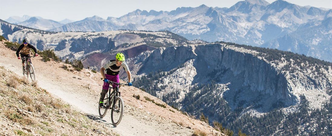
34 routes · Mountain Biking
8 routes · Mountain Biking
5 routes · Mountain Biking