100 m away
Explorer Trail

A slight progression up in the Discovery Zone with small tabletop jumps.
Moderate Mountain Biking
- Distance
- 862 m
- Ascent
- 0 m
- Descent
- 70 m
A black diamond run with dueling natures.
Mountain Biking Severe
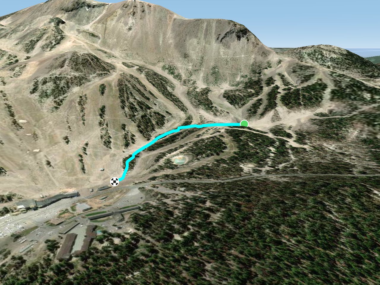
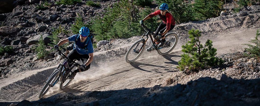
Richter is mostly a black diamond tech trail that snakes through tight turns in the forest. While many of the runs in the Mammoth Bike Park feature wide-open sightlines and full-speed-ahead terrain, Richter slows the roll with what almost feels like east coast tech riding.
Then in other spots on the trail, Richter transforms into a flow/jump line with tabletops, paver-reinforced berms, and wooden features. It's as if the builders couldn’t quite make up their minds about how they wanted to construct the trail so they just said, “what the heck, let’s put a little bit of everything in there.”
And Richter was the result.
Severe
Widely variable, narrow trail tread with steeper grades and unavoidable obstacles of 15in/38cm tall or less. Obstacles may include unavoidable bridges 24in/61cm wide or less, large rocks, gravel, difficult root sections, and more. Ideal for advanced-level riders.

The trail contains some obstacles such as outcroppings and rock which could cause injury.

Close to help in case of emergency.
100 m away
A slight progression up in the Discovery Zone with small tabletop jumps.
Moderate Mountain Biking
100 m away

An ultra-mellow beginner trail.
Easy Mountain Biking
602 m away
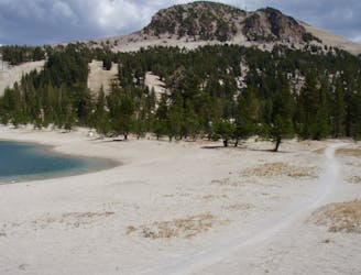
A hidden gem that's home to the best dirt on the mountain.
Moderate Mountain Biking
924 m away
An ultra-easy beginner singletrack that helps return downhillers to the base of the mountain.
Easy Mountain Biking
953 m away

Two-way intermediate singletrack that accesses numerous DH runs.
Moderate Mountain Biking
954 m away
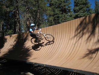
A high-speed trail filled with pavers and wooden features!
Extreme Mountain Biking
1 km away

A burly rock-filled pro line.
Extreme Mountain Biking
1 km away

A fast DH rip.
Extreme Mountain Biking
1 km away

A lengthy two-way singletrack trail that helps tie the mountain together.
Difficult Mountain Biking
1 km away

A two-way trail that helps tie the mountain together.
Difficult Mountain Biking
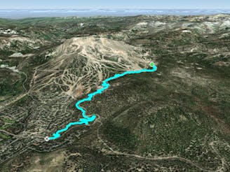
5 routes · Mountain Biking
34 routes · Mountain Biking
8 routes · Mountain Biking
5 routes · Mountain Biking