653 m away
Kamikaze Downhill
A blazing-fast access road that was home to one of the original downhill mountain bike races!
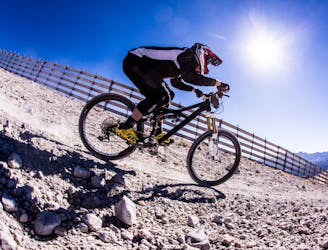
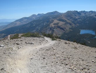
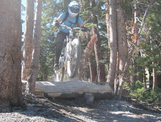
Severe Mountain Biking
- Distance
- 5.2 km
- Ascent
- 0 m
- Descent
- 650 m
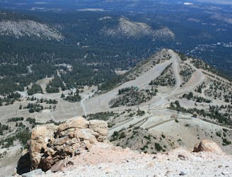
A wide, loose, steep fire road.
Mountain Biking Severe

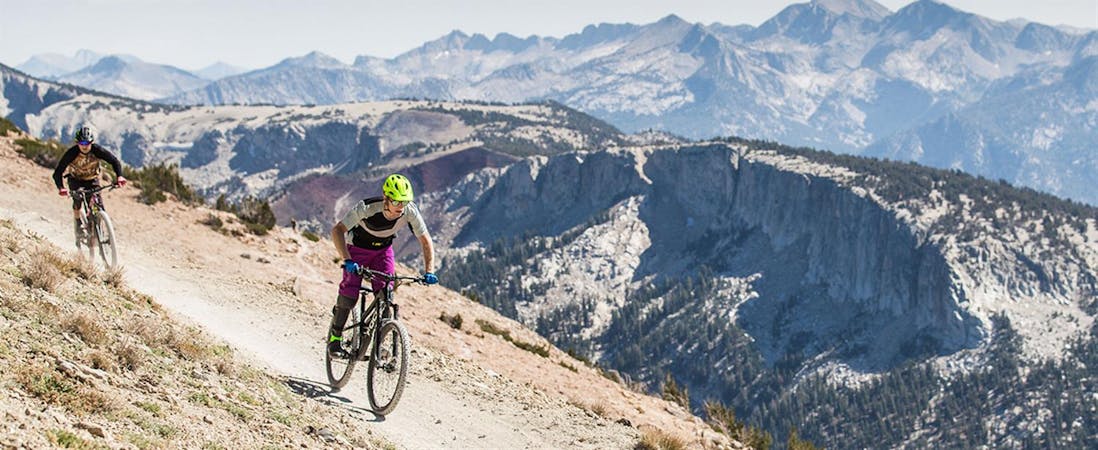
Toll Road is a wide, loose, steep fire road in the classic vein of Mammoth Mountain volcanic pumice riding. It forms a connection from Skid Marks to Bridge the Gap.
While Mammoth Mountain gives this route a double black diamond rating in their trail map, this rating is really only for steepness. This trail, while loose, is relatively non-technical, so we’ve downgraded the FATMAP rating to merely “severe."
Severe
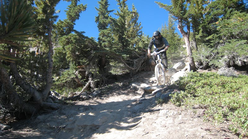
Widely variable, narrow trail tread with steeper grades and unavoidable obstacles of 15in/38cm tall or less. Obstacles may include unavoidable bridges 24in/61cm wide or less, large rocks, gravel, difficult root sections, and more. Ideal for advanced-level riders.

The path is on completely flat land and potential injury is limited to falling over.
Close to help in case of emergency.
653 m away
A blazing-fast access road that was home to one of the original downhill mountain bike races!
Severe Mountain Biking
654 m away
A flowy intermediate-friendly descent off the top of the mountain.
Difficult Mountain Biking
655 m away
A steep, rocky, switchback-filled trail.
Extreme Mountain Biking
667 m away
An extremely varied double black diamond pro-line.
Extreme Mountain Biking
680 m away

Possibly the most brutally-technical run on Mammoth Mountain.
Extreme Mountain Biking
803 m away

A surprisingly flowy double black diamond descent.
Extreme Mountain Biking
863 m away

One of the gnarliest pro lines on Mammoth Mountain.
Extreme Mountain Biking
1.2 km away

A two-way trail that helps tie the mountain together.
Difficult Mountain Biking
1.2 km away

A lengthy two-way singletrack trail that helps tie the mountain together.
Difficult Mountain Biking
1.3 km away

Home to one of the biggest rock features on the mountain.
Extreme Mountain Biking
34 routes · Mountain Biking
5 routes · Mountain Biking