2.2 km away
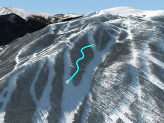
Pano Lift Line

A slanted but fun trail directly under Panoramic Lift
Moderate Freeride Skiing
- Distance
- 1.7 km
- Ascent
- 0 m
- Descent
- 378 m
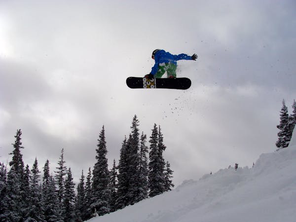
tree run at winter park
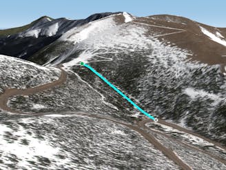
Freeride Skiing Extreme

This is a popular freeride skiing route which is generally considered to be extreme. It's very remote, it features medium exposure (e2) and is typically done between February and April. From a low point of 3.4 km to the maximum altitude of 3.5 km, the route covers 204 m, 0 vertical metres of ascent and 100 vertical metres of descent.
this is the top part of jelly roll
Extreme
Extreme skiing terrain above 45 degrees. These routes are reserved for experienced experts.

As well as the slope itself, there are some obstacles (such as rock outcrops) which could aggravate injury.

Little chance of being seen or helped in case of an accident.
2.2 km away
A slanted but fun trail directly under Panoramic Lift
Moderate Freeride Skiing
3.1 km away

A steep tightly gladed area with small cliffs and unexpected obstacles
Severe Freeride Skiing
3.1 km away
A large section of steep woods between Phantom Bridge and Railbender trails
Difficult Freeride Skiing
3.3 km away

A steep forest of trees that take you out of bounds from Parry's Peak on Parsenn Bowl to Highway 40
Difficult Freeride Skiing
6.3 km away

Some south facing glades
Difficult Freeride Skiing
6.4 km away

Mellow tree skiing.
Moderate Freeride Skiing
6.8 km away

No-hike-necessary tree skiing on Hell's Half Acre.
Moderate Freeride Skiing
6.9 km away

No-hike-necessary tree skiing thanks to a shuttle on Berthoud Pass.
Moderate Freeride Skiing
7 km away
A low-angle cut through the trees
Moderate Freeride Skiing
15 routes · Freeride Skiing · Ski Touring

77 routes · Freeride Skiing · Ski Touring