3 m away
Little Bear Peak
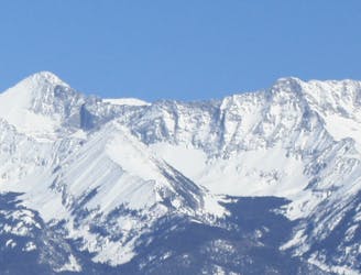
One of the most technical and coveted 14er summits.
Extreme Hiking
- Distance
- 4.6 km
- Ascent
- 715 m
- Descent
- 715 m
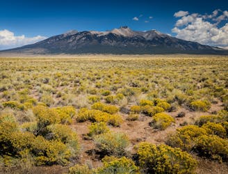
Traditional Northwest ridge up Blanca Peak
Hiking Difficult

This is a popular hiking route which is generally considered to be difficult. It's remote, it features medium exposure and is typically done in an unknown time of year. From a low point of 3.6 km to the maximum altitude of 4.4 km, the route covers 4.1 km, 788 vertical metres of ascent and 7 vertical metres of descent.
Traditional Northwest ridge up Blanca Peak
Difficult
Hiking trails where obstacles such as rocks or roots are prevalent. Some obstacles can require care to step over or around. At times, the trail can be worn and eroded. The grade of the trail is generally quite steep, and can often lead to strenuous hiking.

The trail contains some obstacles such as outcroppings and rock which could cause injury.
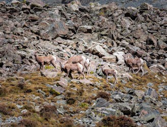
Away from help but easily accessed.
3 m away
One of the most technical and coveted 14er summits.
Extreme Hiking
3 m away
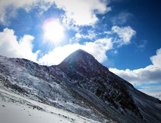
Tag two lofty summits on the Blanca Massif.
Extreme Hiking
6.9 km away
A secluded alpine lake trek.
Moderate Hiking
7 km away
One of the four 14er summits in the Sierra Blanca Massif.
Extreme Hiking