979 m away
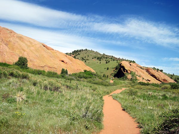
Trading Post Trail at Red Rocks
Explore more of the nature and geology that surrounds Red Rocks Amphitheater.
Easy Hiking
- Distance
- 2.4 km
- Ascent
- 111 m
- Descent
- 106 m

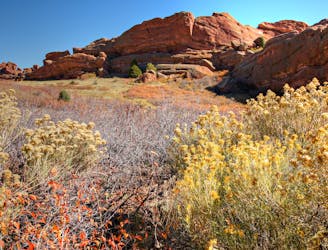
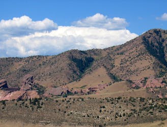
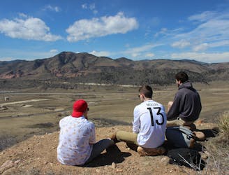
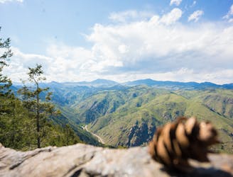
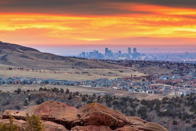
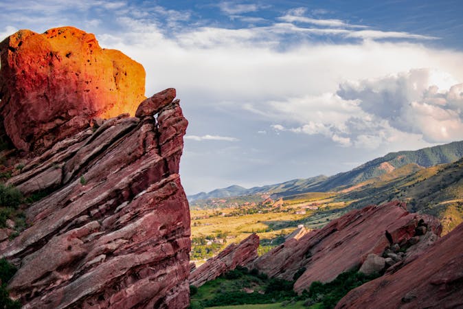
The Red Rocks to Morrison Slide lollipop loop hike is a microcosm of Colorado's outdoor beauty. On this iconic hike, you'll traverse through classic Rocky Mountain foothills terrain. The vegetation is sparse and scrubby, which affords wide-open views of the iconic Red Rocks, the Hogback ridge, Denver, and the eastern plains. The hike combines these beautiful views with unique geologic history in the form of the red rocks themselves.
With several steep sections of switchbacks, rocky trail tread, and elevated sections of trail, this isn't the easiest hike in the area. The steep uphills will definitely get your heart pounding, especially if you're visiting from lower elevations. But that's all a part of the game, and the combination of beautiful scenery with an aerobic workout is yet another reason why this is such a quintessential Front Range hike.
Sources: https://approachableoutdoors.com/hiking/red-rocks-morrison-trail/ https://www.theoutbound.com/colorado/hiking/hike-the-morrison-slide-in-matthews-winters-park https://www.theoutbound.com/colorado/hiking/red-rocks-and-morrison-slide-trails https://www.gjhikes.com/2017/07/morrison-slide.html
Moderate
Hiking along trails with some uneven terrain and small hills. Small rocks and roots may be present.

The trail contains some obstacles such as outcroppings and rock which could cause injury.
Away from help but easily accessed.
979 m away
Explore more of the nature and geology that surrounds Red Rocks Amphitheater.
Easy Hiking
2 km away
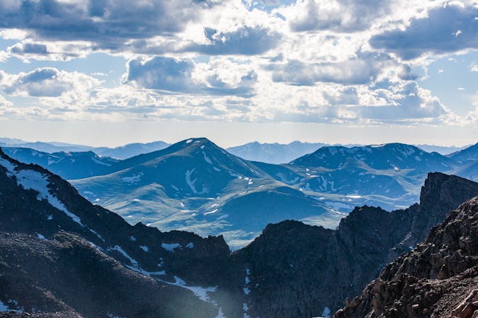
A tough ascent to the highpoint over Red Rocks Amphitheater.
Severe Hiking
2.2 km away
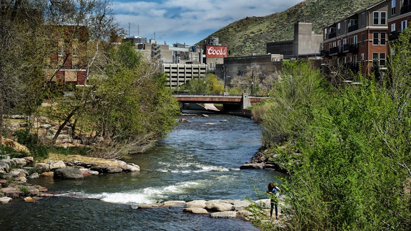
A beautiful greenway path beginning near Morrison and running through Lakewood.
Easy Hiking
2.9 km away
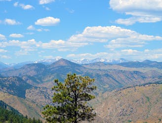
Mountainside hike next to Red Rocks Park with wide-open views over the Amphitheater and downtown Denver.
Moderate Hiking
4.7 km away
Scenic open space near the city—perfect for before or after work outings.
Moderate Hiking
4.9 km away
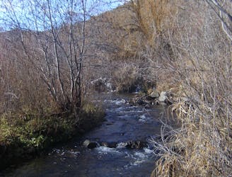
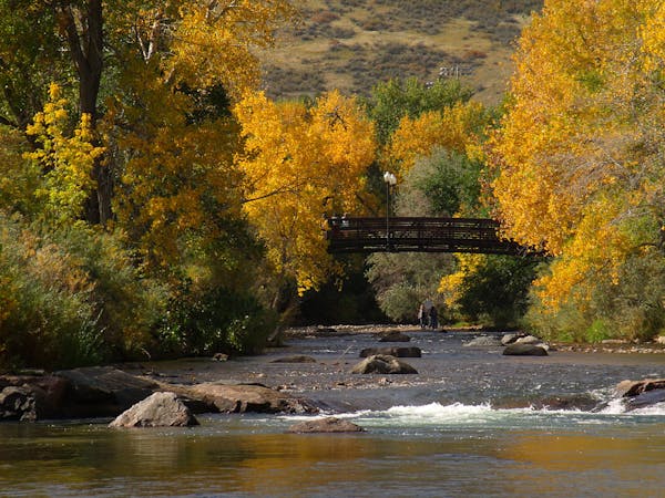
Enjoy mountain views, creekside shade, and peaceful picnic spots on this family-friendly stroll.
Moderate Hiking
5.2 km away
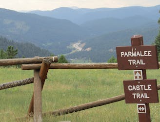
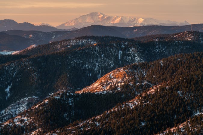
Find the views atop Mount Falcon and a historic "Castle" in the hills above Denver.
Moderate Hiking
7.3 km away
Hiker-only trail to an overlook of the Rocky Mountains at a bouldery outcrop.
Moderate Hiking
7.6 km away
Pleasant nature loop with interpretive signs.
Easy Hiking
9 km away
Challenging ascent of Lookout Mountain from its base in the town of Golden.
Difficult Hiking
6 routes · Hiking
7 routes · Hiking
7 routes · Hiking
8 routes · Mountain Biking · Hiking
6 routes · Alpine Climbing · Hiking
5 routes · Hiking · Road Biking
25 routes · Hiking

8 routes · Hiking
5 routes · Hiking
13 routes · Hiking