2 m away
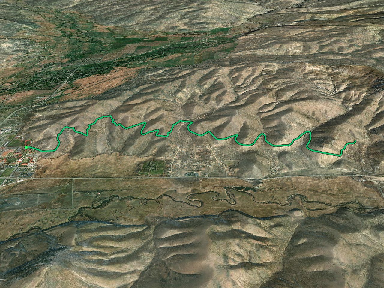
Signal Peak: Sunny D Loop
A fantastic pedal-friendly loop through the Signal Peak trails.
Moderate Mountain Biking
- Distance
- 27 km
- Ascent
- 460 m
- Descent
- 460 m
A fantastic beginner ride accessible directly from the outskirts of Gunnison.
Mountain Biking Easy
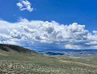
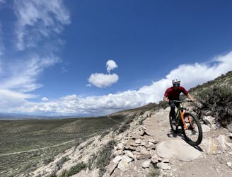
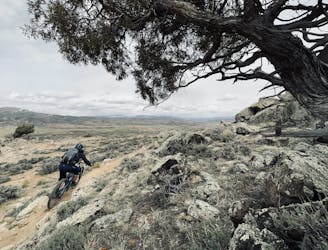
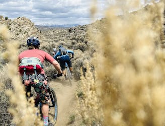
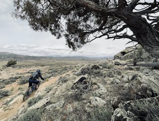
Accessible directly from the city streets of Gunnison, Colorado, is a growing network of singletrack known as the Signal Peak Trails. While the nearby trails at Hartmans Rocks have been around for decades, the trail development at Signal Peaks has only truly kicked off in the past few years. Trail construction is still ongoing. This beginner and intermediate-friendly trail system is home to a slew of flowy, non-technical trails, including a fantastic beginner ride known as the Contour Trail.
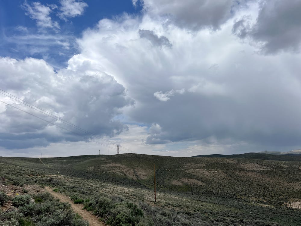
The Contour Trail begins at G Hill above the Western State University campus. After a short ugly climb to get to the start of the trail, this non-technical singletrack flows along the hillside for over 6 miles one-way. As you might imagine from the name, the trail doesn't gain or lose hardly any elevation along its length. It follows a contour line along the hillside, swooping in and out of the gulleys as it works its way to the east from the campus.
The trail tread is smooth and non-technical the entire way, and with almost no climbing and descending, this is the perfect trail for introducing a new rider to the sport of mountain biking, getting out for some easy miles, or even railing some singletrack on the gravel bike. For the easiest ride possible, simply pedal an out-and-back on the Contour Trail as mapped. For more climbing, descending, and total mileage, consider connecting to other nearby trails, such as Sunny D and Duane's World.
Easy
Mostly smooth and non-technical singletrack with unavoidable obstacles 2in/5cm tall or less. Avoidable obstacles may be present. Ideal for beginner riders.

The path is on completely flat land and potential injury is limited to falling over.
Close to help in case of emergency.
2 m away
A fantastic pedal-friendly loop through the Signal Peak trails.
Moderate Mountain Biking
3.1 km away
A fantastic quick rip in the heart of the Signal Peak Trail System
Moderate Mountain Biking
5.5 km away
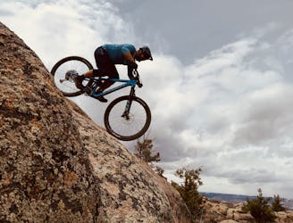
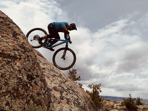
Two tech lines filled with massive slickrock slabs to roll!
Severe Mountain Biking
5.5 km away
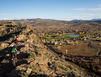
An expansive high-desert trail system offering incredible variety.
Severe Mountain Biking
5.5 km away
The classic Growler course. One loop only gets you a Half Growler: you'll have to do two for a Full Growler!
Difficult Mountain Biking
5.5 km away
The longest version of the Original Growler course.
Difficult Mountain Biking
5.9 km away
A fantastically-beautiful loop on the elevated trails along the steep cliff bands of Hartman's.
Difficult Mountain Biking
9.9 km away

Pedal the most remote trails in the Hartman Rocks trail system.
Difficult Mountain Biking

25 routes · Mountain Biking
8 routes · Mountain Biking