808 m away
Hartman Rocks Sampler
An expansive high-desert trail system offering incredible variety.
Severe Mountain Biking
- Distance
- 32 km
- Ascent
- 790 m
- Descent
- 790 m
A fantastically-beautiful loop on the elevated trails along the steep cliff bands of Hartman's.
Mountain Biking Difficult

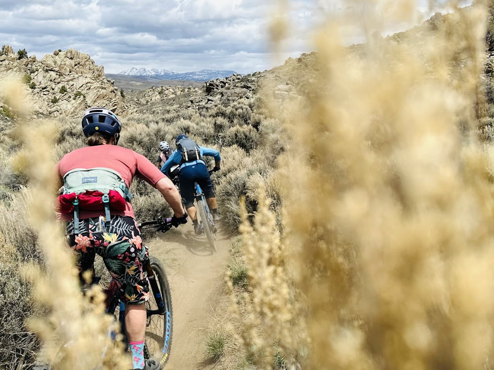
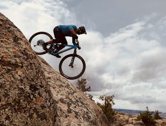
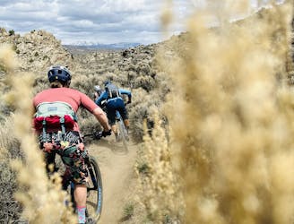
Hartman Rocks is the most expansive and oldest trail system in Gunnison. Many of the trails at Hartman's were originally burned in by moto riders (as noted by trails with names like "Tail Pipe"), but today, mountain bikers are one of the most popular user groups and spearhead much of the trail building and maintenance via their advocacy group, Gunnison Trails. The trails here vary from flowy, sandy tracks to technical rock slab-filled test pieces.
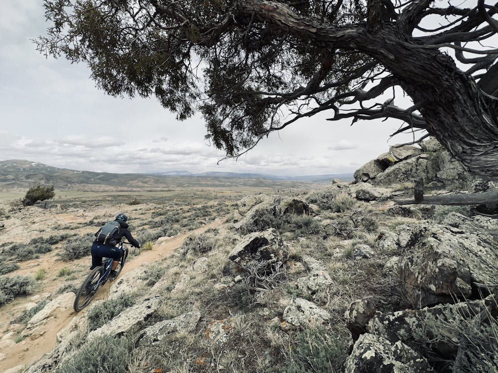

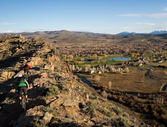
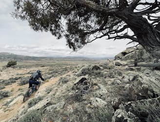
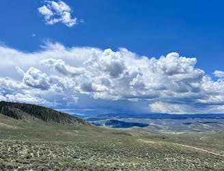
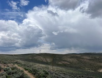
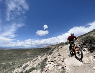
The trails at Hartman's are found on an elevated high desert mesa filled with beautiful decomposing granite rock formations. The northern end of the mesa ends in a steep cliffside that drops precipitously to the valley below. Along the top of the cliff bands and steep hillside run a series of stunningly-beautiful trails, anchored by the aptly-named "Top of the World" trail.
The singletrack here winds up and down through beautiful rock formations on the edge of the cliffs. These elevated stretches of trail provide riders with expansive views over the Gunnison Valley, the town of Gunnison, and the Elk Range beyond. And if you look to the south, you can also catch glimpses of the San Juans in the distance.
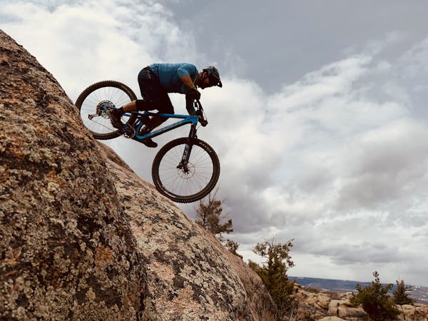
The singletrack through this area of the trail system is quite rocky and chunky, featuring embedded blocks and small ledges both up and down. However, despite the prevalence of rocks, most of the trails here are considered upper intermediate in difficulty. One section of trail, "The Ridge," does get a black diamond on some maps, meaning that this route pushes the upper end of the "Difficult" rating. That said, adept intermediate riders will find themselves pushed slightly outside of their comfort zones but overall enjoying the entertaining riding on this short loop.
Difficult
Mostly stable trail tread with some variability featuring larger and more unavoidable obstacles that may include, but not be limited to: bigger stones, roots, steps, and narrow curves. Compared to lower intermediate, technical difficulty is more advanced and grades of slopes are steeper. Ideal for upper intermediate riders.

Some trail sections have exposed ledges or steep ascents/descents where falling could cause serious injury.

Away from help but easily accessed.
808 m away
An expansive high-desert trail system offering incredible variety.
Severe Mountain Biking
808 m away
Two tech lines filled with massive slickrock slabs to roll!
Severe Mountain Biking
816 m away
The classic Growler course. One loop only gets you a Half Growler: you'll have to do two for a Full Growler!
Difficult Mountain Biking
816 m away
The longest version of the Original Growler course.
Difficult Mountain Biking
4.5 km away

Pedal the most remote trails in the Hartman Rocks trail system.
Difficult Mountain Biking
5.9 km away
A fantastic pedal-friendly loop through the Signal Peak trails.
Moderate Mountain Biking
5.9 km away
A fantastic beginner ride accessible directly from the outskirts of Gunnison.
Easy Mountain Biking
8.6 km away
A fantastic quick rip in the heart of the Signal Peak Trail System
Moderate Mountain Biking

25 routes · Mountain Biking
8 routes · Mountain Biking