2.8 km away
Box-O-Rox Trail

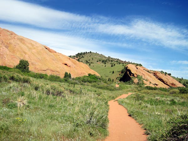
A staple singletrack ride in the area, featuring an exciting rock garden near the bottom.
Difficult Mountain Biking
- Distance
- 6.4 km
- Ascent
- 231 m
- Descent
- 231 m

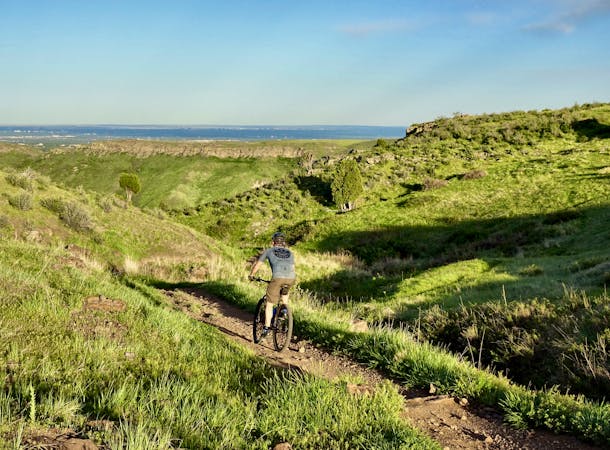
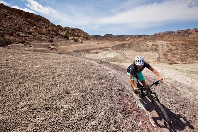
Renowned as one of the most technical trails on the Colorado Front Range, Dakota Ridge serves as a technical test piece for the thousands (perhaps millions?) of mountain bikers living in the megalopolis that runs up and down the eastern edge of the Colorado Rockies.
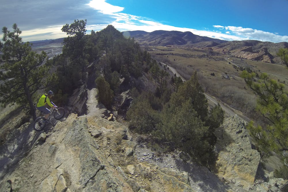
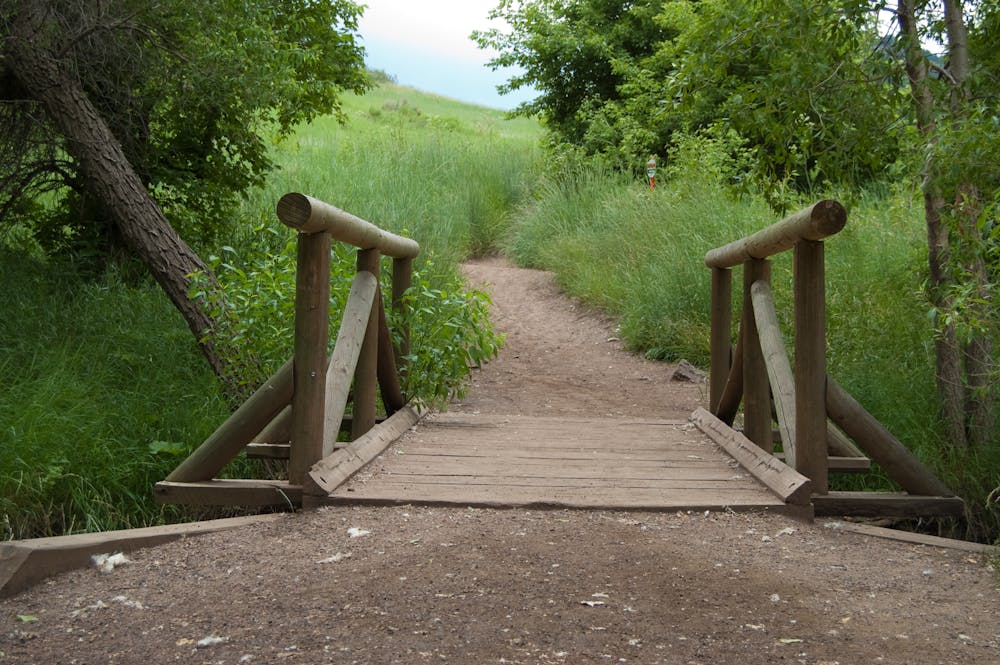
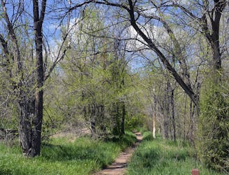
While the trail continues to morph and change over the years, Dakota Ridge is characterized by a brutally-rocky trail tread with off camber moves; short, steep climbs; ledge drops; and significant cliffside exposure in certain sections. Laser-sharp bike handling is required to negotiate the rock obstacles, and very few riders can complete the whole trail without dabbing. At the very least, the initial climb up the stair steps and log ramps serves as a brutal punch-in-the-gut to give you an indication of just how hard the rest of the ride will be.
When the trail tread does turn downhill, those rocks serve up ledge drop and jump opportunities, some of which lead into blind landings and awkward situations. Ride heads up: this trail is open to two-way traffic and is popular with hikers and trail runners as well as mountain bikers.
In late 2017, a newly-completed 1.3-mile lollipop extension of Dakota Ridge was opened. "The new black-diamond trail on Dakota Ridge is 'playful and bike-optimized,' said Eric Fields, trail team lead for North Jefferson Counties Parks and Open Space,” according to the Denver Post.
"Fields and his team designed the trail as a lollipop loop on the ridge’s south end. The trail’s naturally rugged features were incorporated into rocky ramps and drop-offs meant to be ridden clockwise by cyclists and walked counterclockwise by runners and hikers. But the trail directions are a guideline, not a rule,” the Denver Post article continues.
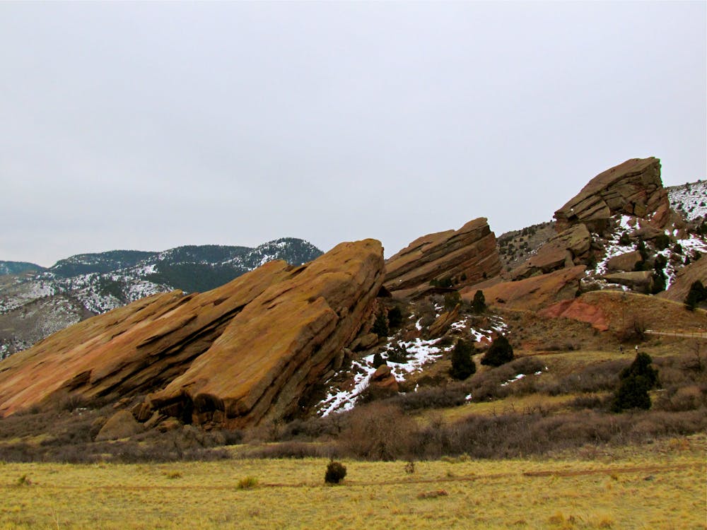
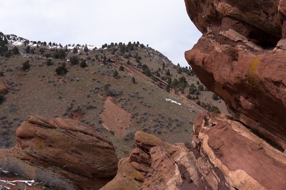
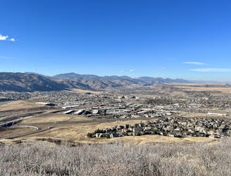
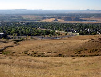
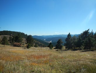
The mapped loop of Dakota Ridge shown here includes a climbing route through Matthews Winters Park, just on the other side of the road from Dakota Ridge proper. The trails in Matthews Winters are decidedly less exposed and less technical, but that doesn’t mean they are easy or free of rocks. In classic Colorado style, the climbs are steep and techy, requiring out-of-the-saddle grunts to successfully clean the entire ascent.
Sources: https://theknow.denverpost.com/2018/01/18/denver-hikes-jefferson-county-trail-extension/173197/ https://www.jeffco.us/DocumentCenter/View/9196/Dakota-Ridge-Trail-ExtensionFactSheet
Extreme
Very steep, difficult, narrow singletrack with widely variable and unpredictable trail conditions. Unavoidable obstacles could be 15in/38cm tall or greater, and unavoidable obstacles with serious consequences are likely to be present. Obstacles could include big rocks, difficult root sections, drops, jumps, sharp switchbacks, and more. Ideal for expert-level riders.

Some trail sections are extremely exposed where falling will almost certainly result in serious injury or death.

Close to help in case of emergency.
2.8 km away
A staple singletrack ride in the area, featuring an exciting rock garden near the bottom.
Difficult Mountain Biking
2.8 km away
Arguably the best bang-for-your-buck loop on Green Mountain.
Moderate Mountain Biking
4.3 km away
Quick ride to the top of Green Mountain, then back down on fun and scenic trails.
Moderate Mountain Biking
5.2 km away
A scenic climb to an action-packed downhill in the foothills just outside of Golden.
Severe Mountain Biking
5.4 km away
Family-friendly biking loop on Mount Falcon, featuring "The Castle" ruins and mountaintop views..
Easy Mountain Biking
6 routes · Mountain Biking
8 routes · Mountain Biking · Hiking
6 routes · Mountain Biking
11 routes · Mountain Biking