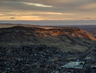
2.7 km away
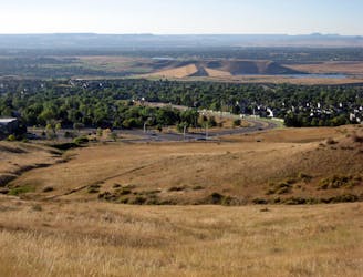
Box-O-Rox -> Rooney Valley Loop
Arguably the best bang-for-your-buck loop on Green Mountain.
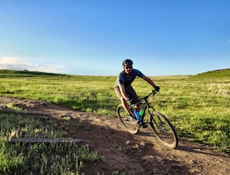
Moderate Mountain Biking
- Distance
- 10 km
- Ascent
- 273 m
- Descent
- 273 m

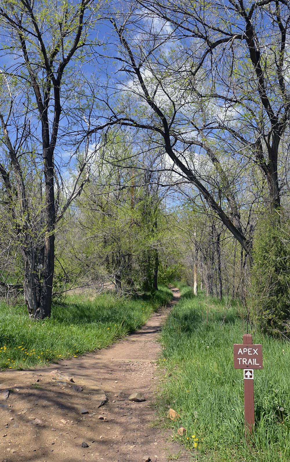
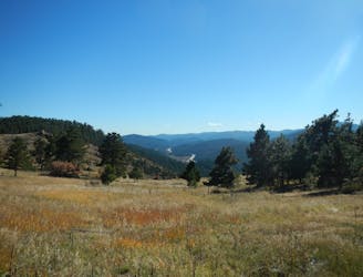
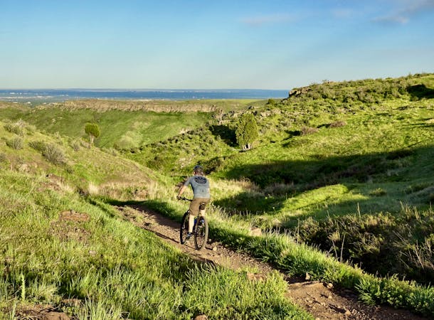
Enchanted Forest and Apex Trails together make one of the best descents in the Denver area. The loop mapped here is the best way to ride this trail system by utilizing the well-built climbing trails to get up the mountain.
Start out on Apex Trail, then take Argos Trail to Pick-n-Sledge for the climb. The long uphill takes you through a variety of forest types as you cross back and forth on a ridgeline and gain elevation. It’s all on nice singletrack with mostly straightforward riding, but has tricky sections to negotiate here and there. If you choose to ride the loop the opposite way (which you must on odd-numbered days), Pick-N-Sledge is a fun and very scenic downhill.
From the top of Pick-N-Sledge, take the steep switchbacks downhill on Sluicebox to connect with Hardscrabble then Apex Trail. This upper section of Apex makes a relatively mellow climb the rest of the way up a canyon and meets with Enchanted Forest near the top of the mountain, then the downhill begins.
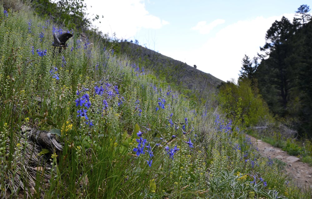
Enchanted Forest Trail is aptly named. It swoops through surprisingly lush greenery and a diversity of trees. They grow thick here on north-facing slopes. It’s all singletrack and mostly flowy downhill, but with a fair share of rooty and rocky sections. A few bigger rock drops give the option for air time. Overall it’s intermediate difficulty, but more advanced lines can be found in some spots.
Enchanted Forest joins Apex, where the difficulty steps up a bit. Apex has more and tougher rock sections, including some significant stairs and drops with no sneak lines. It remains almost entirely downhill, moving into drier and more open forest, then grassland at the bottom. Finish where you started at the Apex Trailhead.
Note: Due to the immense popularity of this trail system, a shared-use schedule has been implemented. Mountain bikers are only allowed to access the trails on even-numbered calendar days (2nd, 4th, etc.), but now they can ride downhill without having to worry about uphill hiker traffic.
Sources: https://www.jeffco.us/DocumentCenter/View/9361/Apex-Park-Map https://www.cityofgolden.net/media/TrailMap.pdf https://youtu.be/xb02x4f9-EA https://youtu.be/zgDGZ1CBhns
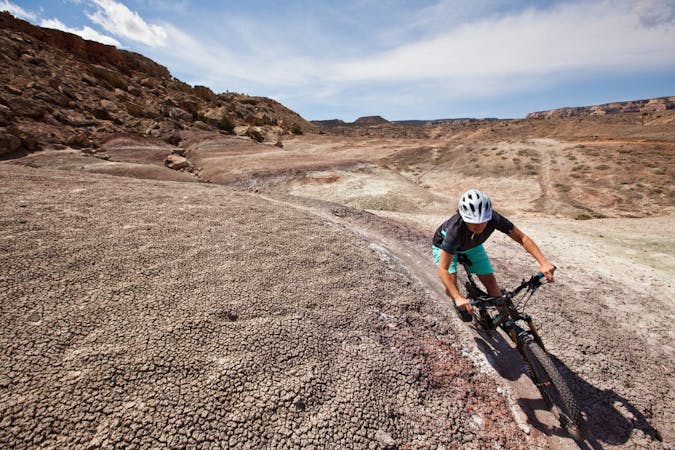
Severe
Widely variable, narrow trail tread with steeper grades and unavoidable obstacles of 15in/38cm tall or less. Obstacles may include unavoidable bridges 24in/61cm wide or less, large rocks, gravel, difficult root sections, and more. Ideal for advanced-level riders.

The trail contains some obstacles such as outcroppings and rock which could cause injury.
Away from help but easily accessed.
2.7 km away
Arguably the best bang-for-your-buck loop on Green Mountain.
Moderate Mountain Biking
2.7 km away

A staple singletrack ride in the area, featuring an exciting rock garden near the bottom.
Difficult Mountain Biking
5.2 km away
One of the most technical trails on the Colorado Front Range—an enduro rider's dream!
Extreme Mountain Biking
5.7 km away
Quick ride to the top of Green Mountain, then back down on fun and scenic trails.
Moderate Mountain Biking
7.4 km away
What this popular trail network lacks in quality it makes up for in accessibility.
Moderate Mountain Biking
7.6 km away
What this popular trail network lacks in quality it makes up for in accessibility.
Difficult Mountain Biking
9.2 km away
Family-friendly biking loop on Mount Falcon, featuring "The Castle" ruins and mountaintop views..
Easy Mountain Biking
6 routes · Mountain Biking
8 routes · Mountain Biking · Hiking
6 routes · Mountain Biking
11 routes · Mountain Biking