51 m away
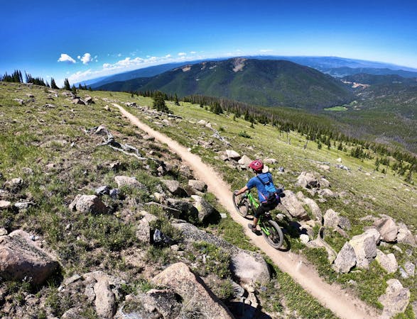
Silver Creek Rainbow Trail Loop
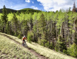
A superb springtime loop ride with serpentine alpine singletrack interspersed with rock gardens.
Difficult Mountain Biking
- Distance
- 31 km
- Ascent
- 637 m
- Descent
- 638 m
A tough point-to-point route from Mear's Junction to the town of Salida—bonus points if you add this to the classic Monarch Crest Route.
Mountain Biking Severe

While most riders who finish the epic Monarch Crest trail choose to coast down the highway back to Poncha Springs, another option exists: continue via singletrack all the way to Salida.
The problem? It takes another 2,889 feet of climbing to traverse the portion of trail from Mear's Junction to Salida, and most of that is hike-a-bike following the Rainbow Trail from Highway 285 up high into the beginnings of the Sangre de Cristo mountain range.
The good news? That 2,889 feet of climbing nets you 4,321 feet of sweet, sweet descending, all the way into Salida!
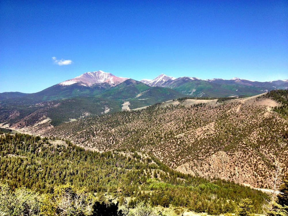
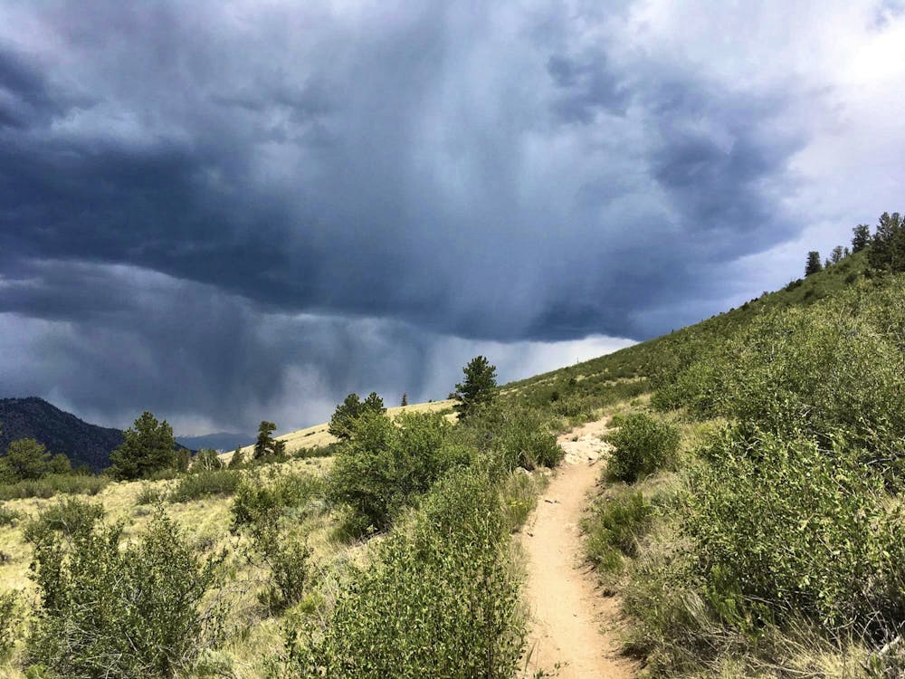
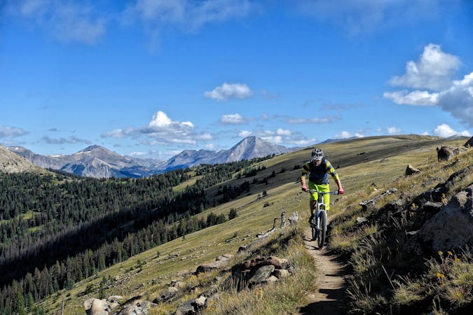
The Rainbow Trail begins with a steep climb that continues to get steeper and rougher, until you're hiking up a motoed out rock wall. The climb runs on for way longer than you think it should, but the trail takes you high—high up into the mountains above the northern end of the San Luis Valley and Poncha Pass.
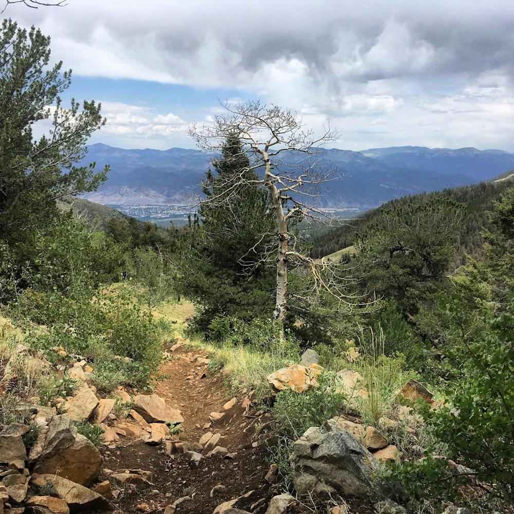
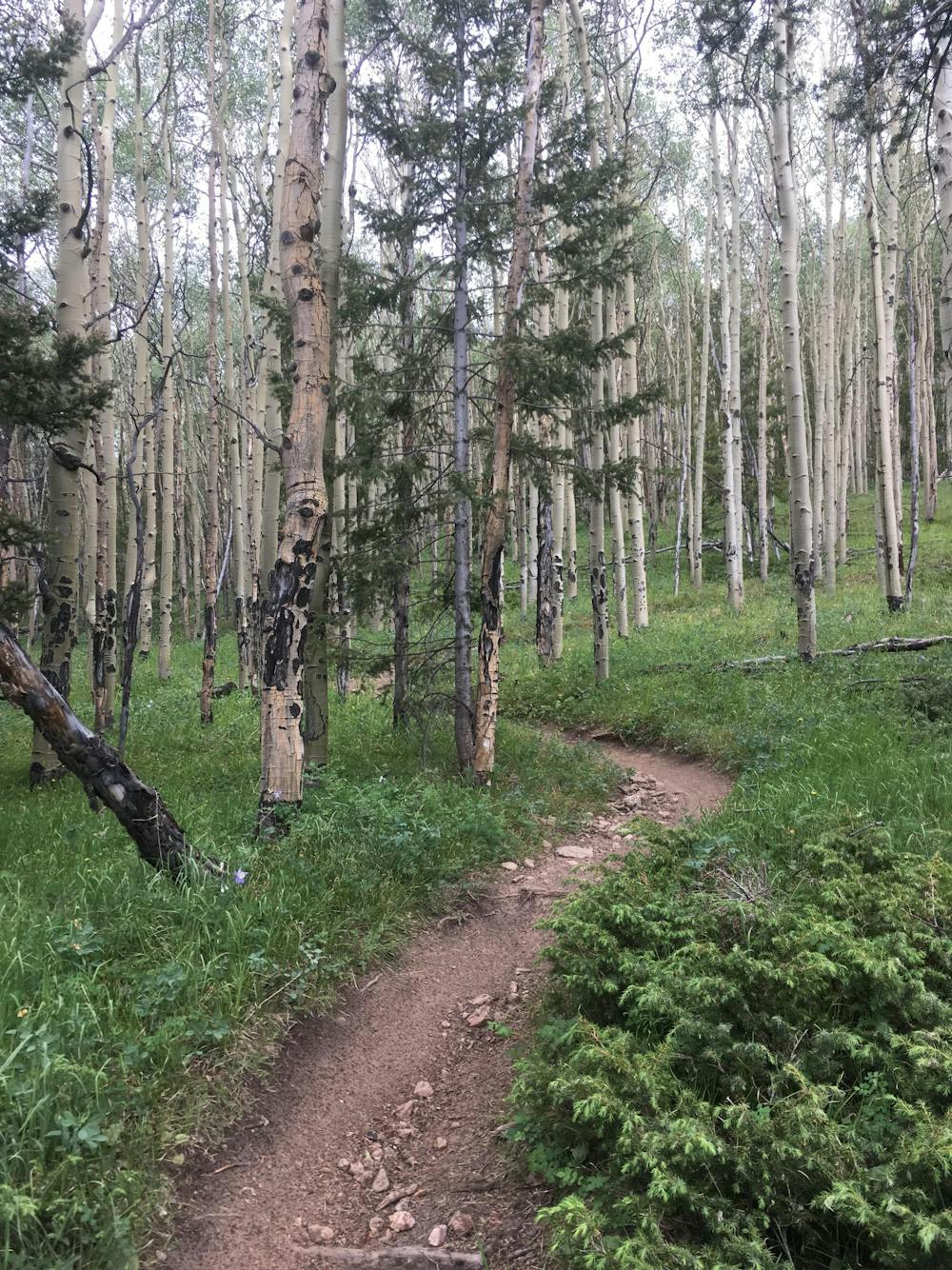
Eventually, the dry environment gives way to a beautiful aspen grove up high, and the trail grade mellows to a very rideable, flowy black dirt singletrack.
Finally, you top out on a ridge and can see all the way down into Salida. Drop your seat and get ready to descend, as the trail plummets down toward the valley floor! The upper section of the descent is a steep, eroded, scree-filled trail that switchbacks and drops into a narrow valley. The steep descent continues on dark black dirt, with roots, rocks, and small drops.
After descending down the Sand Gulch 4x4, you'll pick up the Double Rainbow trail and enter the lower Methodist Mountain trail system. Once to the 110 Trailhead, numerous options present themselves depending on how much spunk you have left.
This route is a brutal extra credit option if tacked on at the end of the Monarch Crest route, but it can also be ridden by itself as a respectable shuttle route that opens earlier and closes later in the season than the high elevation portions of the Crest. While by no means an easy or a generally fun trail, for riders who've done all of Salida's greatest hits this is a worthy option for another route to explore.
Severe
Widely variable, narrow trail tread with steeper grades and unavoidable obstacles of 15in/38cm tall or less. Obstacles may include unavoidable bridges 24in/61cm wide or less, large rocks, gravel, difficult root sections, and more. Ideal for advanced-level riders.

The trail contains some obstacles such as outcroppings and rock which could cause injury.

Little chance of being seen or helped in case of an accident.
51 m away
A superb springtime loop ride with serpentine alpine singletrack interspersed with rock gardens.
Difficult Mountain Biking
9.4 km away
A fantastic 100% singletrack loop of Gutz.
Severe Mountain Biking
9.7 km away
A rowdy fall line descent dropping thousands of feet down to the town of Salida.
Severe Mountain Biking
8 routes · Mountain Biking · Fat biking
14 routes · Mountain Biking