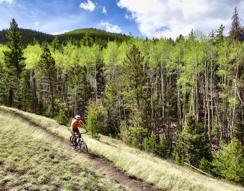
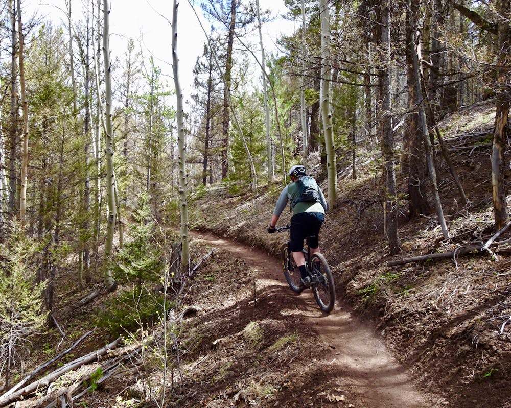
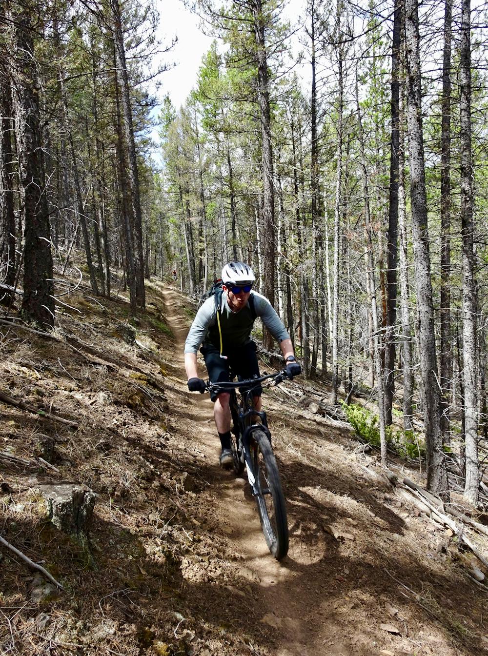
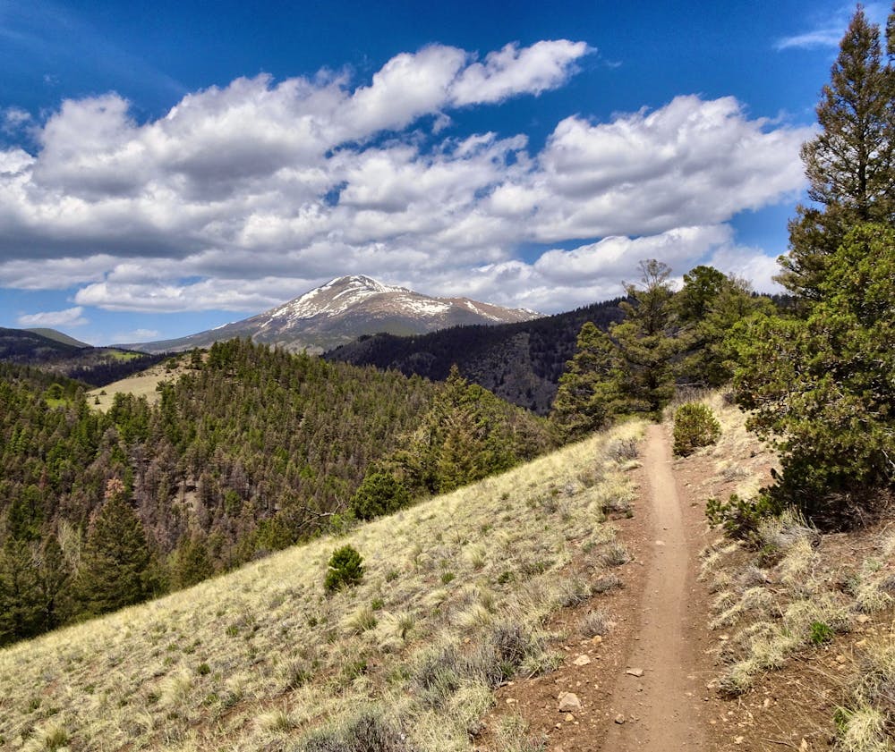
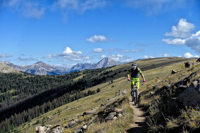
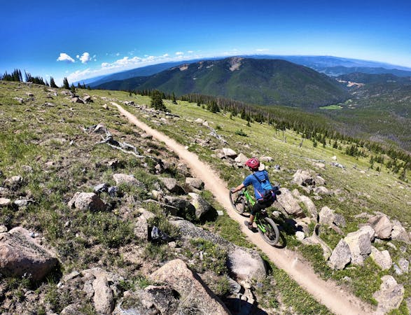
The trail is mostly sweet bench cut sidehill trail, that points mostly downhill back to the car—but short, steep, somewhat brutal climbs up out of the creek bottoms punctuate the trail. These can be rideable, or hike-a-bike sections depending on your fitness and bike handling skills. But don’t let these short climbs dissuade you, as the rest of the trail is suh-weet!
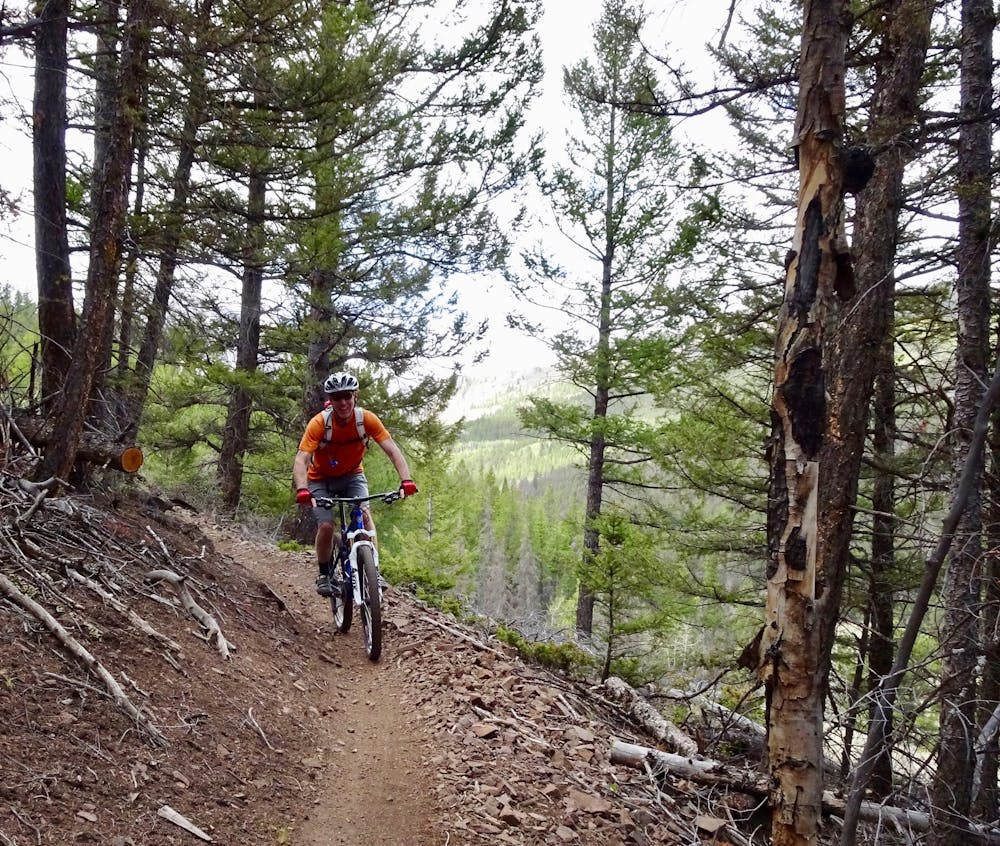
Lower down in the final stretches the singletrack gets significantly rockier with a couple long sections of ledgy, blocky drops. After the smooth sailing up high this can be a shock to the system or a riotous technical rip, depending on your perspective.
The trail smooths back out, with flowy singletrack delivering you back to your car—one heck of a sweet early season loop officially completed!
The classic Monarch Crest route finishes with the Silver Creek section of the Rainbow Trail, which runs from the terminus of the Silver Creek trail to Highway 285. That said, this section of trail is a superb ride in its own right for many reasons.
First, numerous mountain bikers never even get to ride this section of trail when they ride the Monarch Crest. They might drop down a different trail, or finish Silver Creek and choose to bail out down the dirt road if they're fatigued.
Second, this trail segment melts out earlier in the spring and stays snow-free later in the fall than the higher sections of the Monarch Crest on the Continental Divide, making this a great early- and late-season loop.
Finally, after hours of riding on the Monarch Crest it's difficult to enjoy this trail when you're worn out and ready to be done. Riding this segment on its own makes it a much more pleasurable experience.
