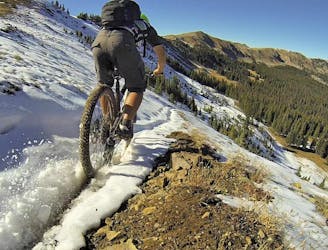
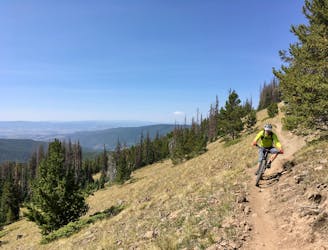
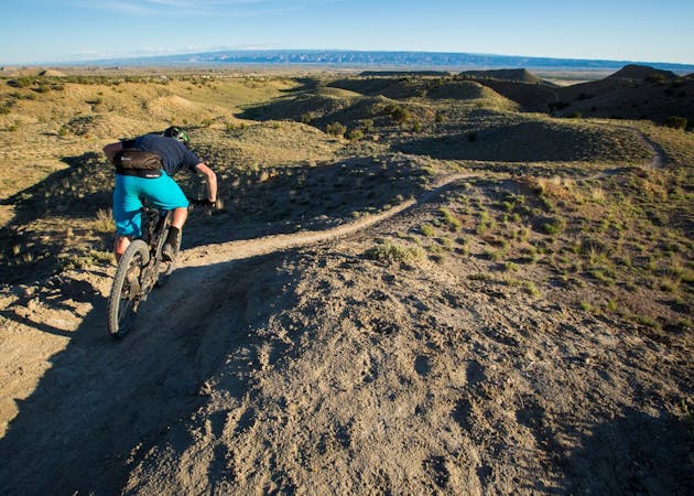
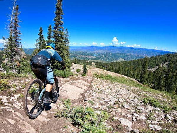
Monarch Crest -> Green's Creek
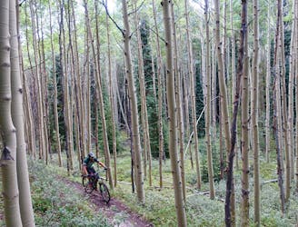
Green's Creek is the most relentlessly-technical singletrack trail dropping off of the Monarch Crest, making it a favorite of enduro racers.
Severe Mountain Biking
- Distance
- 34 km
- Ascent
- 278 m
- Descent
- 1.5 km
Explore the variety of epic descents accessible from the Monarch Crest Trail.
Mountain Biking, Fat biking Difficult, Severe, Extreme
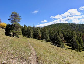
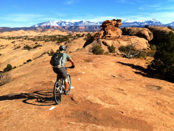
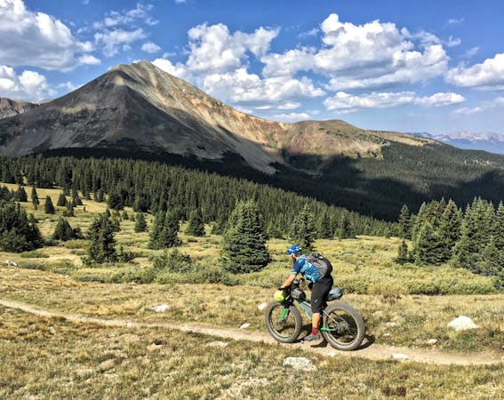
When most mountain bikers reference “the Monarch Crest,” they’re referring to a mountain bike ride of around 35 miles that generally begins with a shuttle to the top of Monarch Pass (elevation 11,312 feet). The ride itself follows the Continental Divide Trail for miles through drop-dead-gorgeous high alpine terrain. The Colorado Trail soon joins with the Continental Divide trail, with both long distance routes running together. The classic Monarch Crest ride crosses Marshall Pass, follows the Continental Divide Trail for a few more miles, then turns left onto the Silver Creek Trail. Silver Creek runs directly into the Rainbow Trail, and then when the Rainbow Trail hits Highway 285, riders turn left and head down the highway, back to Poncha Springs.
Technically, the term “Monarch Crest” refers to a portion of high alpine trail that runs for about 10 miles—just one subset of the Continental Divide Trail through this area. And what most mountain bikers new to the area may not realize, is that there are numerous singletrack trails connecting to the Crest. While the standard route does maximize your time on the Continental Divide and riding sweet singletrack in the mountains, the other trails in the area are (almost) all worthy of your exploration.
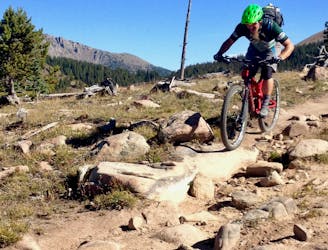
From the relentless gnar of Green's Creek to the deep stream crossings of Agate Creek, branch out and sample these absolutely fantastic trails!
Green's Creek is the most relentlessly-technical singletrack trail dropping off of the Monarch Crest, making it a favorite of enduro racers.
Severe Mountain Biking
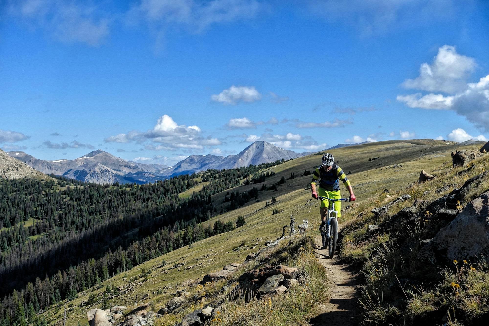
This epic trail provides high alpine ridge top riding at treeline with views for hundreds of miles in all directions, finishing with a ripping descent down the mountain.
Difficult Mountain Biking
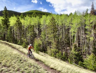
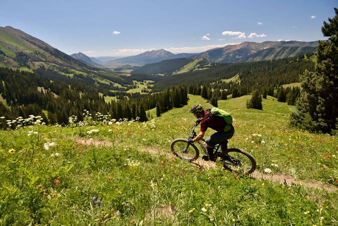
A superb springtime loop ride with serpentine alpine singletrack interspersed with rock gardens.
Difficult Mountain Biking
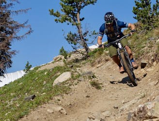
The shortest Monarch Crest descent is also one of the rowdiest!
Severe Mountain Biking
A fast, technical descent down the west side of the Continental Divide from the Monarch Crest Trail
Severe Mountain Biking
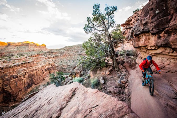
Beautiful old school singletrack through a deep valley.
Severe Mountain Biking
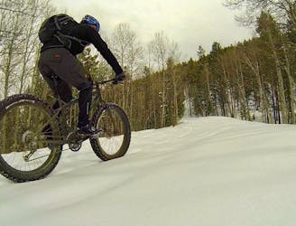
A moderate gravel road providing a great climbing route to access singletrack, an easy bailout off the Monarch Crest, and a portion of the Tour Divide route.
Difficult Fat biking
This brutally-technical ride out in the middle of basically nowhere requires both excellent fitness and bike handling skills.
Extreme Mountain Biking

26 routes · Mountain Biking
5 routes · Mountain Biking
20 routes · Mountain Biking
12 routes · Mountain Biking

25 routes · Mountain Biking
12 routes · Mountain Biking
9 routes · Mountain Biking
7 routes · Mountain Biking
11 routes · Mountain Biking
6 routes · Mountain Biking