6.3 km away
Monarch Crest -> Agate Creek
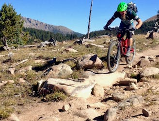
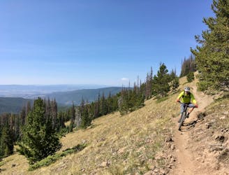
A fast, technical descent down the west side of the Continental Divide from the Monarch Crest Trail
Severe Mountain Biking
- Distance
- 28 km
- Ascent
- 468 m
- Descent
- 1.1 km
The shortest Monarch Crest descent is also one of the rowdiest!
Mountain Biking Severe

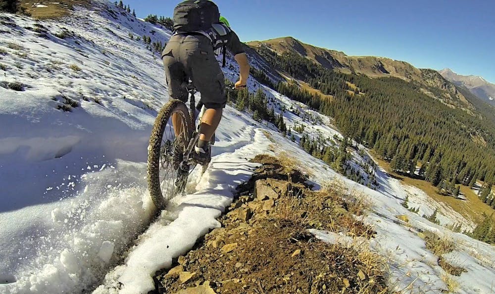
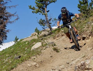
Fooses Creek is the shortest of the Monarch Crest shuttle routes, but that doesn’t mean you should skip it! The descent may be shorter, but it’s certifiably rowdy, with the steep scree field drop in off the ridge top renowned as one of the most difficult stretches of trail in the Monarch Crest zone.
After dropping steeply down the scree field, the trail angle mellows... but the rocks only get bigger. The middle section of Fooses is filled with big boulders separated by boggy stretches of mud. Many of the boulder features also ride as up-and-overs, requiring a more cross country style of technical riding.
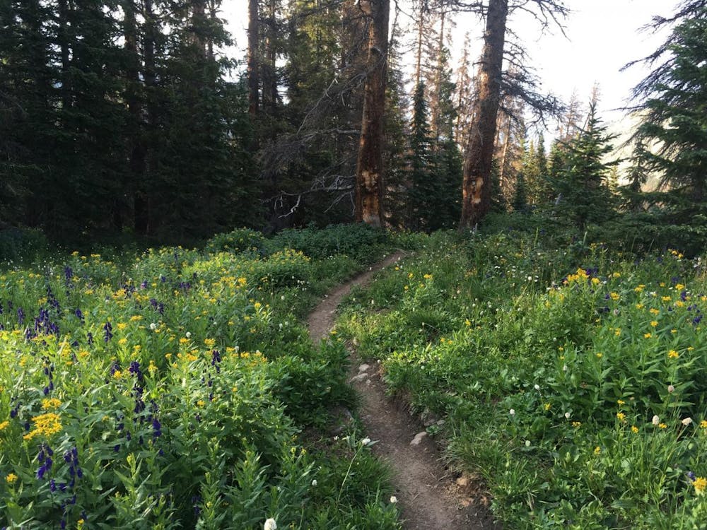
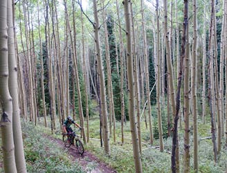
Next, the singletrack steepens again, blasting through the trees down loamy singletrack laced with root webs.
Again, the grade mellows, but the long sight lines continue, offering ultra high speed ripping through the pine trees. Watch for uphill traffic, but this section may just be the fastest singletrack through the trees that you ever ride!
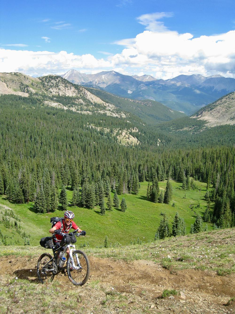
The Fooses Creek trail is actually a part of the Colorado Trail as well. Colorado Trail thru riders heading from Denver to Durango will climb up Fooses to gain the Monarch Crest, and then carry on south along the Continental Divide Trail.
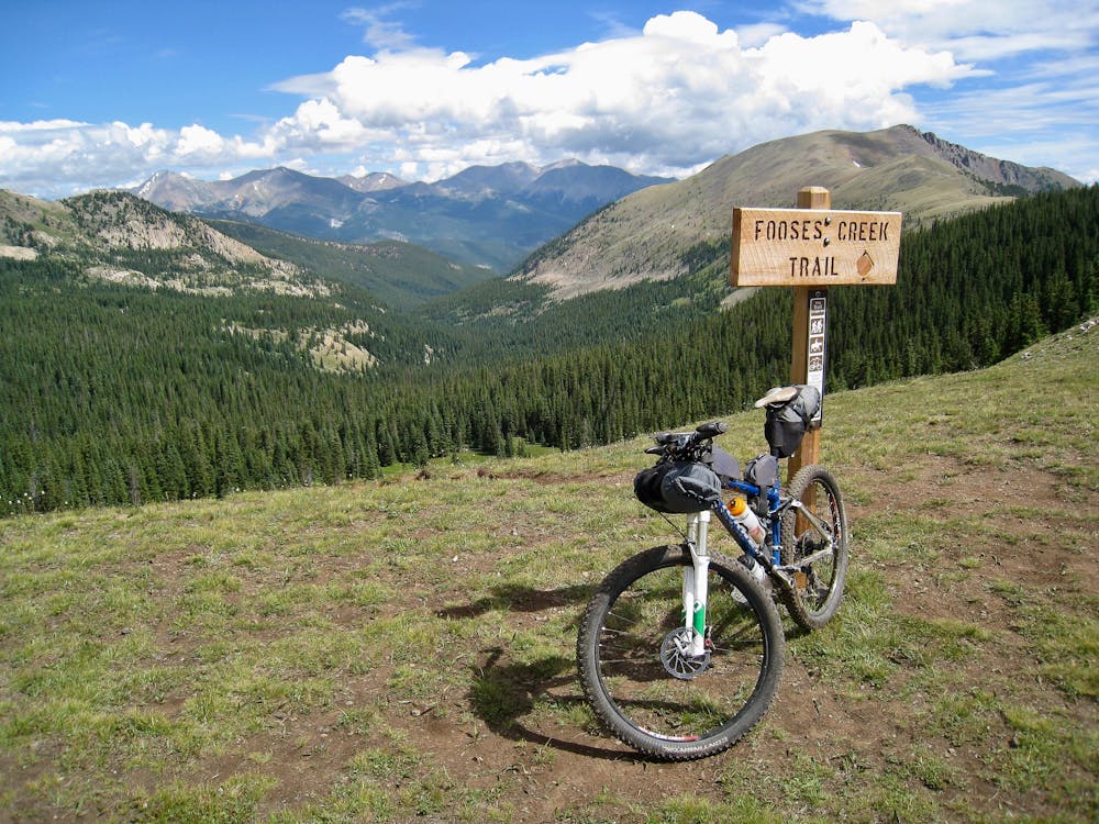
Also, since Fooses is indeed the shortest Monarch Crest descent, it’s not ideal as a commercial shuttle. The trail reaches Highway 50 / Monarch Pass many miles above Poncha Springs, and with almost no shoulder on the highway, it’s not recommended as a bail out option down to Poncha. Rather, if you want to ride Fooses, it’s best to self-shuttle.
Severe
Widely variable, narrow trail tread with steeper grades and unavoidable obstacles of 15in/38cm tall or less. Obstacles may include unavoidable bridges 24in/61cm wide or less, large rocks, gravel, difficult root sections, and more. Ideal for advanced-level riders.

Some trail sections are extremely exposed where falling will almost certainly result in serious injury or death.

Away from help but easily accessed.
6.3 km away
A fast, technical descent down the west side of the Continental Divide from the Monarch Crest Trail
Severe Mountain Biking
6.3 km away
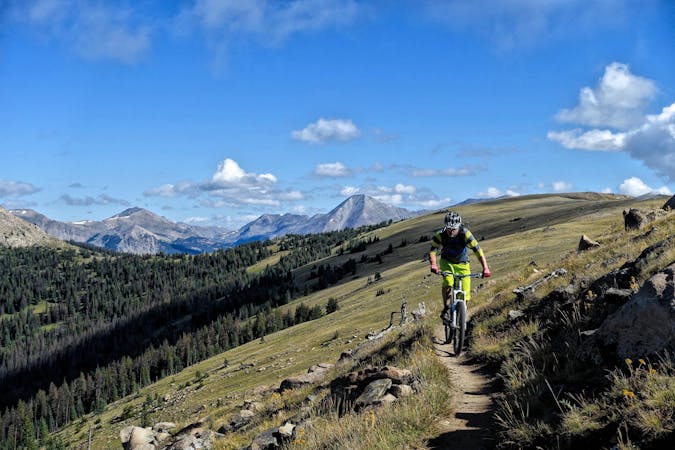
Green's Creek is the most relentlessly-technical singletrack trail dropping off of the Monarch Crest, making it a favorite of enduro racers.
Severe Mountain Biking
6.3 km away
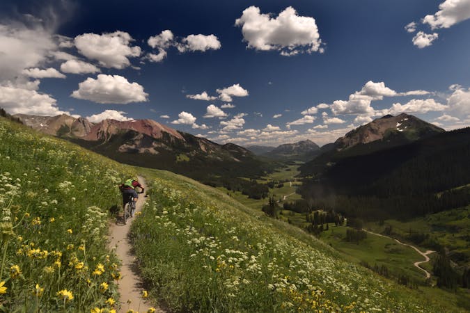
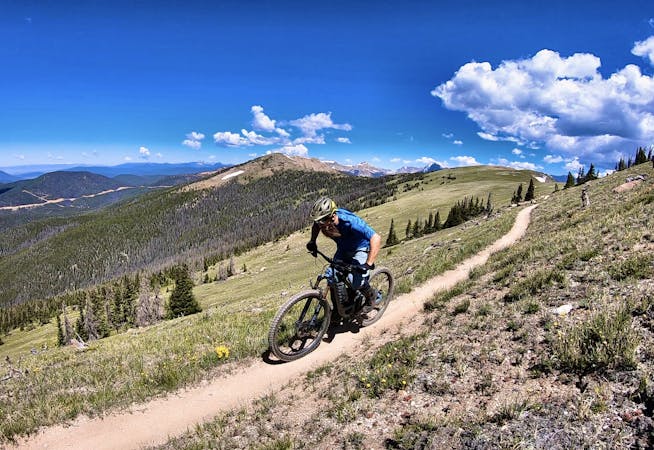
This epic trail provides high alpine ridge top riding at treeline with views for hundreds of miles in all directions, finishing with a ripping descent down the mountain.
Difficult Mountain Biking
6.3 km away
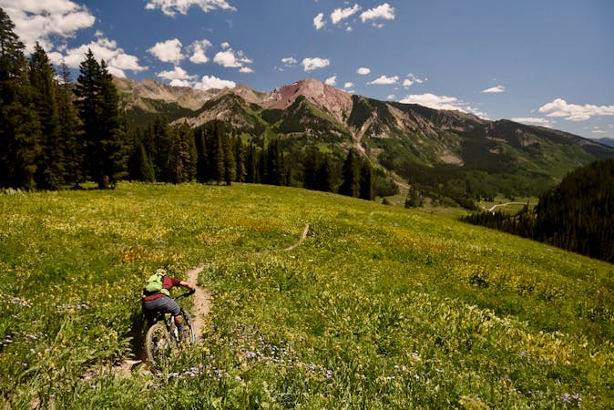
Beautiful old school singletrack through a deep valley.
Severe Mountain Biking
7.4 km away

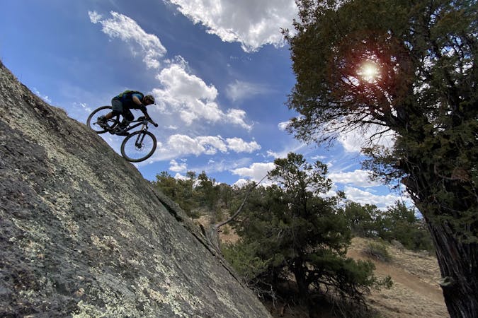
This brutally-technical ride out in the middle of basically nowhere requires both excellent fitness and bike handling skills.
Extreme Mountain Biking
7.4 km away
Widely regarded as the worst section of the Colorado Trail.
Severe Mountain Biking

26 routes · Mountain Biking
8 routes · Mountain Biking · Fat biking

25 routes · Mountain Biking
6 routes · Mountain Biking
14 routes · Mountain Biking

10 routes · Mountain Biking
4 routes · Mountain Biking

10 routes · Mountain Biking
10 routes · Mountain Biking
5 routes · Mountain Biking

24 routes · Mountain Biking