3 m away
Monarch Crest -> Green's Creek
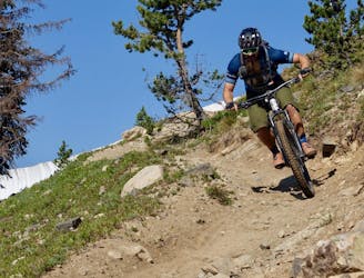
Green's Creek is the most relentlessly-technical singletrack trail dropping off of the Monarch Crest, making it a favorite of enduro racers.
Severe Mountain Biking
- Distance
- 34 km
- Ascent
- 278 m
- Descent
- 1.5 km
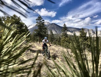
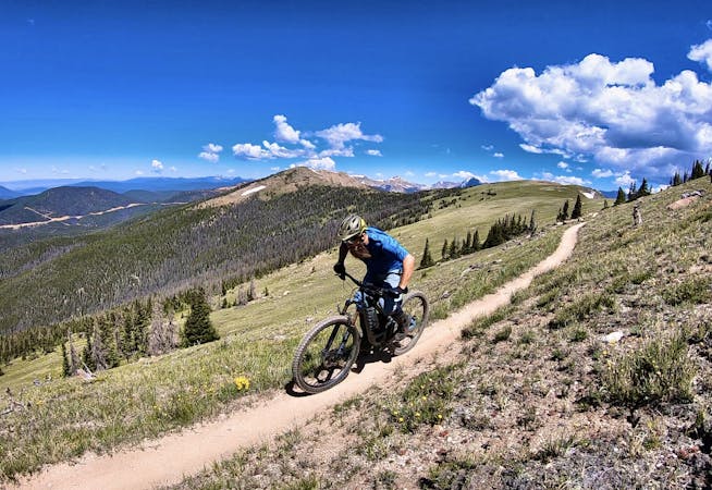
A fast, technical descent down the west side of the Continental Divide from the Monarch Crest Trail
Mountain Biking Severe

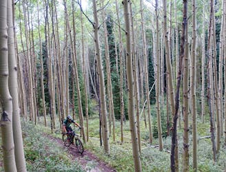
The Agate Creek Trail descends down the west side of the Continental Divide, ending near Highway 50 a couple miles above the town of Sargents. If you plan to ride Agate, note that you’ll need to self shuttle—there is no commercial shuttle that services this side of the Continental Divide. So before you drop down this trail, make doubly sure that you know where you’re going!
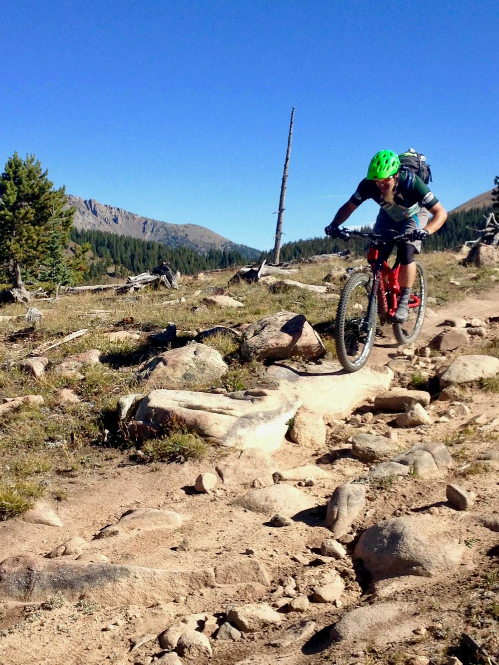
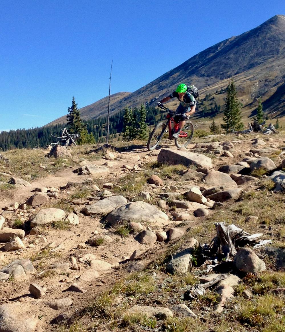
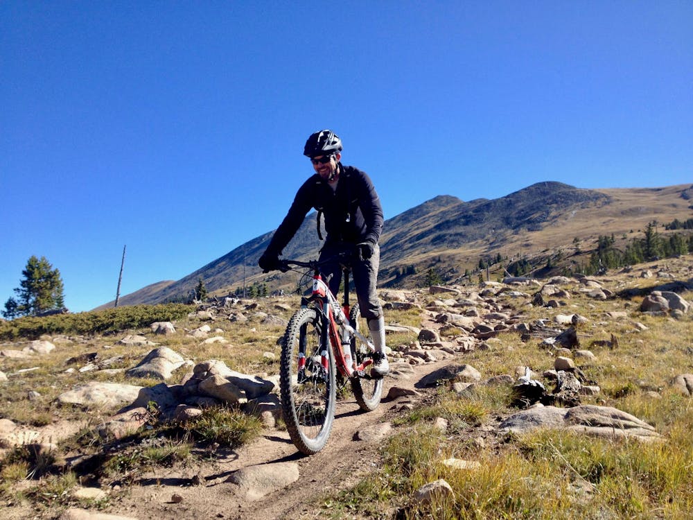
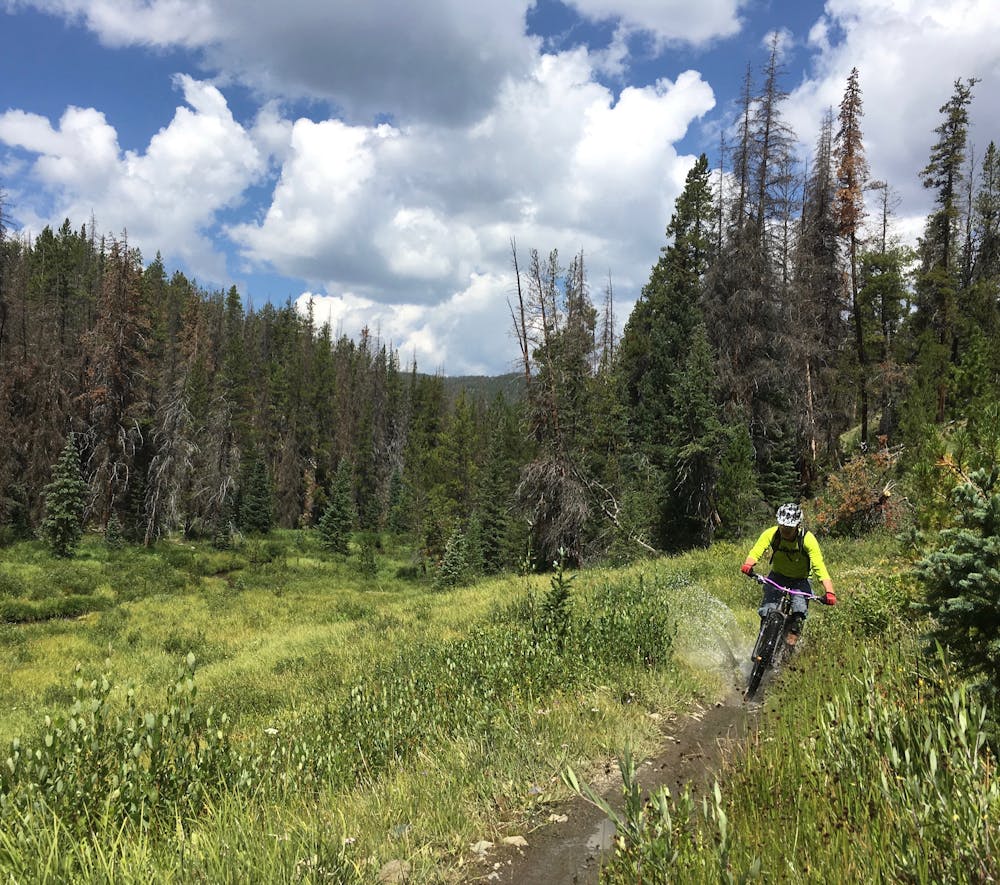
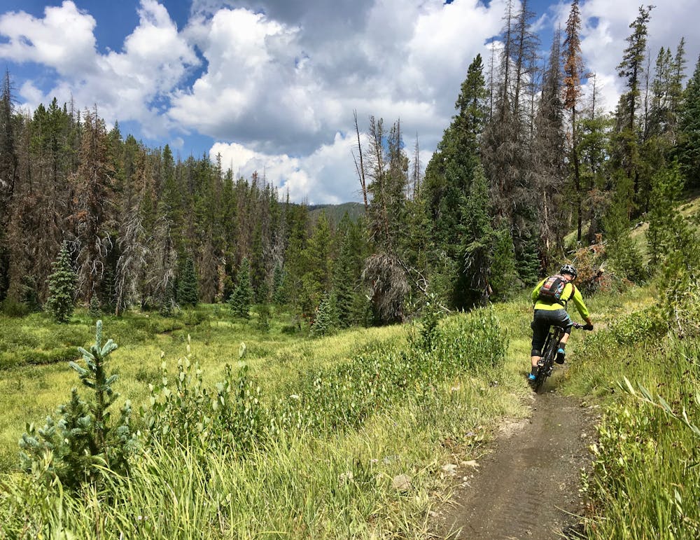
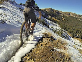
If you do decide to self shuttle Agate (or pedal a really big loop), this moto-legal singletrack will reward you with one of the sweetest Monarch Crest descents! The upper section is high speed and wide-open through the alpine... as long as you can blast through boulder fields and off of ledgy drops.
Once the trail drops into the trees, the track becomes smoother and even faster, blasting at top speed through moto whoops and loamy black dirt.
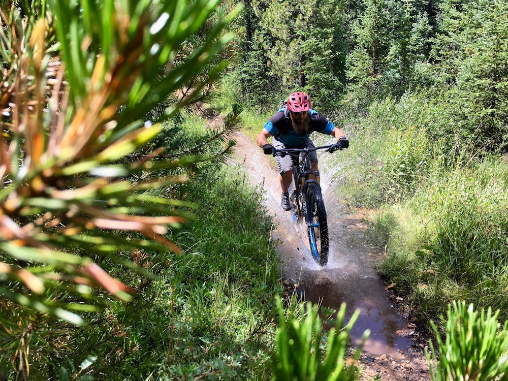
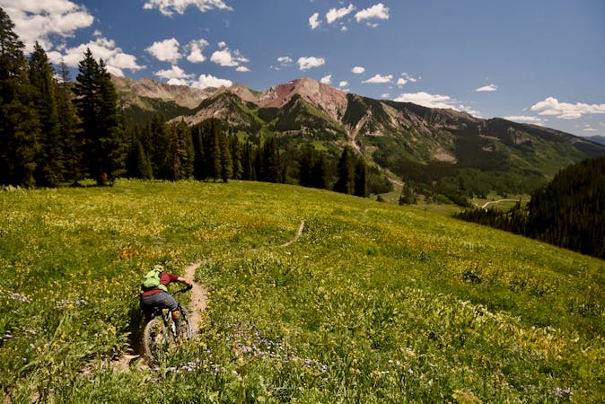
Down in the valley, the trail begins to criss cross the creek from which it gets its name, with the water crossings getting deeper and deeper as you go. Some of the final stream crossings run deeper than knee height even in late summer. In early summer, the stream can sometimes be flowing so deeply that the crossings are not only extremely deep, but borderline treacherous. As a result, this trail is recommended in late summer or early fall.
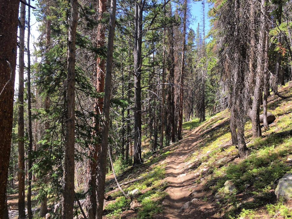
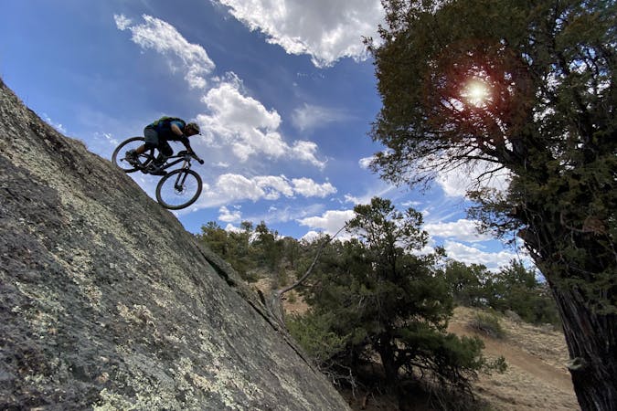
The lower portion of the trail transitions into a deep, eroded trench of a singletrack with some massive rock features—some of the single biggest rock features in the entire Monarch Crest zone. While the extremely technical stretches can be walked, the lower rocks are decidedly black diamond… or beyond.
Agate Creek is a serious ride, but the feeling of ripping a delectable singletrack that few riders experience is worth all of the challenge.
Severe
Widely variable, narrow trail tread with steeper grades and unavoidable obstacles of 15in/38cm tall or less. Obstacles may include unavoidable bridges 24in/61cm wide or less, large rocks, gravel, difficult root sections, and more. Ideal for advanced-level riders.

The trail contains some obstacles such as outcroppings and rock which could cause injury.

Little chance of being seen or helped in case of an accident.
3 m away
Green's Creek is the most relentlessly-technical singletrack trail dropping off of the Monarch Crest, making it a favorite of enduro racers.
Severe Mountain Biking
3 m away
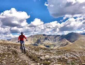
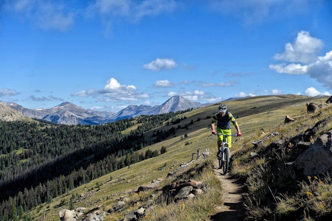
This epic trail provides high alpine ridge top riding at treeline with views for hundreds of miles in all directions, finishing with a ripping descent down the mountain.
Difficult Mountain Biking
3 m away
Beautiful old school singletrack through a deep valley.
Severe Mountain Biking
6.3 km away
The shortest Monarch Crest descent is also one of the rowdiest!
Severe Mountain Biking
8.4 km away
The 10-mile descent ripping down the Canyon Creek Trail from this route's high point atop a 12,500-foot mountain is to die for!
Severe Mountain Biking
8.9 km away
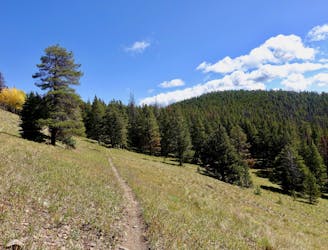
A long segment of the Colorado Trail running along the west side of the Arkansas Valley that provides flowy singletrack punctuated by steep climbs and descents.
Difficult Mountain Biking

26 routes · Mountain Biking
8 routes · Mountain Biking · Fat biking

25 routes · Mountain Biking
6 routes · Mountain Biking
14 routes · Mountain Biking

10 routes · Mountain Biking
4 routes · Mountain Biking

10 routes · Mountain Biking
10 routes · Mountain Biking
5 routes · Mountain Biking

24 routes · Mountain Biking