8.9 km away
Monarch Crest -> Agate Creek
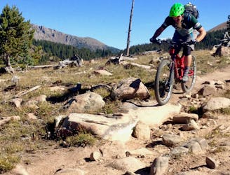
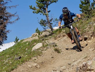
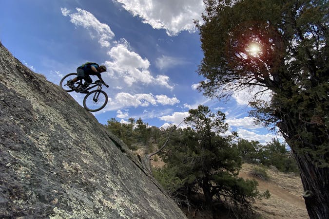
A fast, technical descent down the west side of the Continental Divide from the Monarch Crest Trail
Severe Mountain Biking
- Distance
- 28 km
- Ascent
- 468 m
- Descent
- 1.1 km
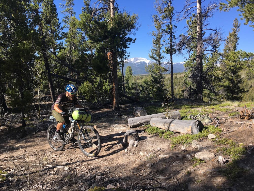
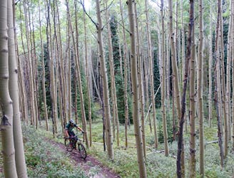
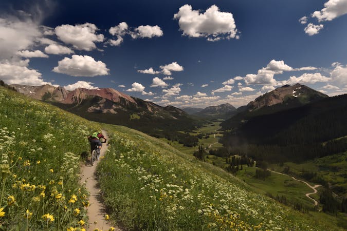
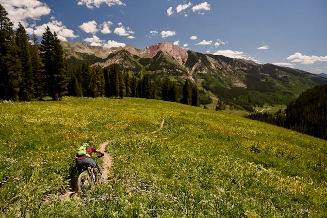
A long segment of the Colorado Trail running along the west side of the Arkansas Valley that provides flowy singletrack punctuated by steep climbs and descents.
Mountain Biking Difficult

While the entire Colorado Trail forms a mountain bike ride of epic proportions, for riders it's broken into segments by Wilderness areas where bikes aren't allowed, preventing a full singletrack through-ride. One long, unbroken segment that makes for a great ride is the portion that runs from Highway 50 (Monarch Pass) to the Collegiate Peaks Wilderness Boundary at Avalanche Trailhead on Cottonwood Pass.
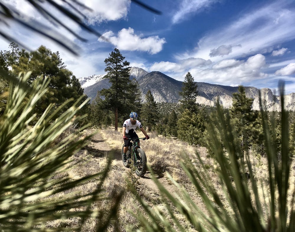
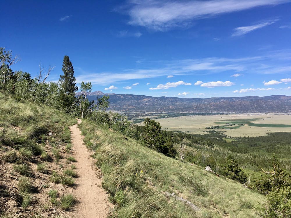
Technically, south from Highway 50 the COT is bike-legal for a long ways, but as the COT in that direction climbs steeply up Fooses Creek drainage to join the Monarch Crest, the portion from Highway 50 to the Collegiate Peaks Wilderness forms its own unique segment. This segment varies from about 9,000 feet to 10,000 feet in elevation, giving it a much longer riding season than some other portions of the COT, and also making it more manageable for intermediate riders.
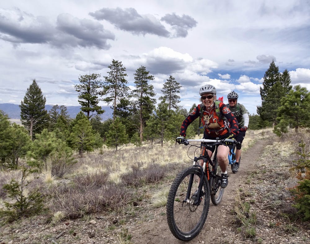
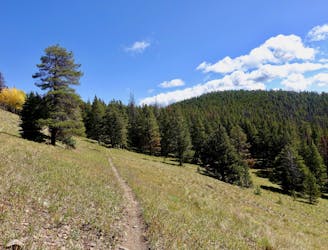
The singletrack along this COT segment is, overall, relatively non-technical. As the trail runs across the flanks of the mountain, many portions are mellow, smooth, and flowy.
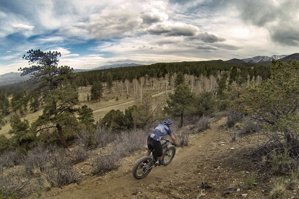
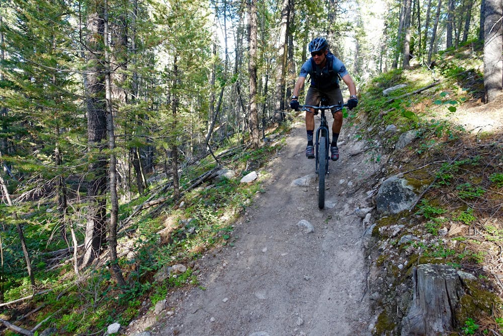
But when the trail drops into the steep-sided valleys, its character changes dramatically! It descends steeply down rock-filled and often switchbacked portions of singletrack. The climbs back out the other side often necessitate hike-a-bike.
Taken all together, this long portion of singletrack is a great, relatively easy mountain bike ride, but some sections definitely exceed!
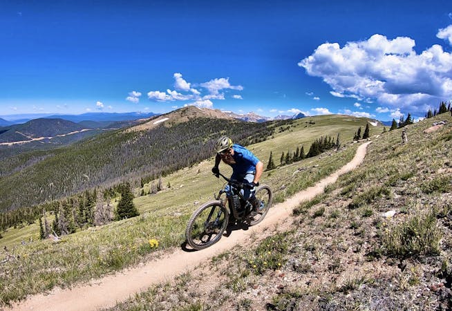
Difficult
Mostly stable trail tread with some variability featuring larger and more unavoidable obstacles that may include, but not be limited to: bigger stones, roots, steps, and narrow curves. Compared to lower intermediate, technical difficulty is more advanced and grades of slopes are steeper. Ideal for upper intermediate riders.

The trail contains some obstacles such as outcroppings and rock which could cause injury.
Away from help but easily accessed.
8.9 km away
A fast, technical descent down the west side of the Continental Divide from the Monarch Crest Trail
Severe Mountain Biking
8.9 km away
Green's Creek is the most relentlessly-technical singletrack trail dropping off of the Monarch Crest, making it a favorite of enduro racers.
Severe Mountain Biking
8.9 km away
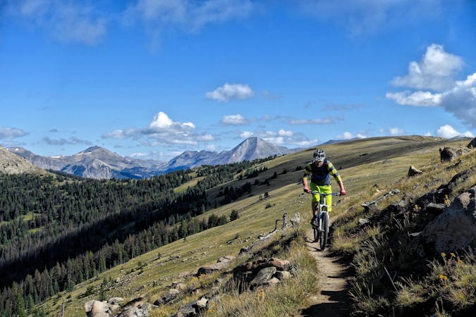
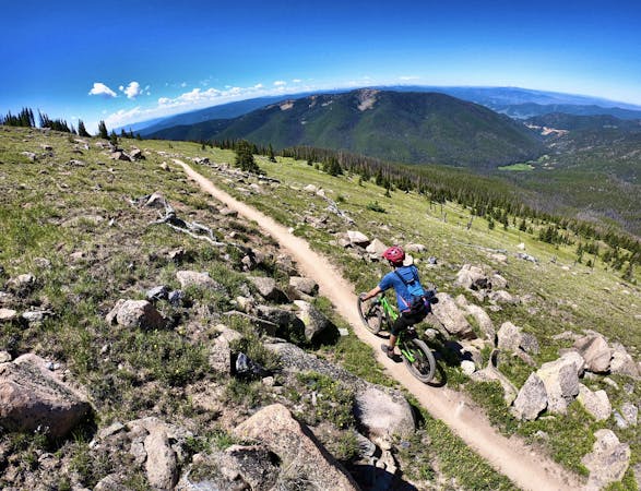
This epic trail provides high alpine ridge top riding at treeline with views for hundreds of miles in all directions, finishing with a ripping descent down the mountain.
Difficult Mountain Biking
8.9 km away
Beautiful old school singletrack through a deep valley.
Severe Mountain Biking

26 routes · Mountain Biking
8 routes · Mountain Biking · Fat biking

25 routes · Mountain Biking
6 routes · Mountain Biking
14 routes · Mountain Biking

10 routes · Mountain Biking
4 routes · Mountain Biking

10 routes · Mountain Biking
10 routes · Mountain Biking
5 routes · Mountain Biking

24 routes · Mountain Biking