5.4 km away
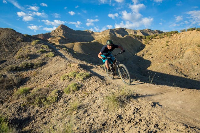
Zippety Do Da
Zippety Do Da provides the fast downhill bombs, swoop and flow, and visually-stunning ridgeline singletrack that put Fruita on the map.
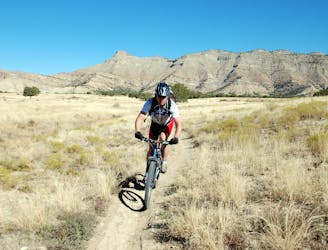
Difficult Mountain Biking
- Distance
- 11 km
- Ascent
- 277 m
- Descent
- 278 m
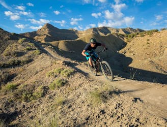
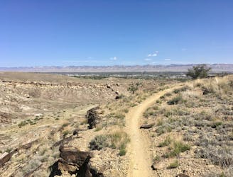
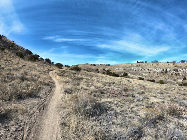
A beautiful trail running high above the rest of the 18 Road Trail System.
Mountain Biking Difficult

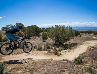
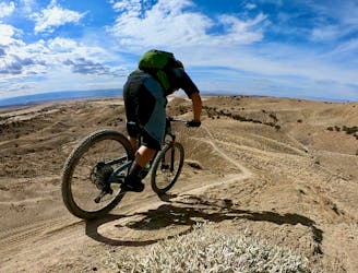
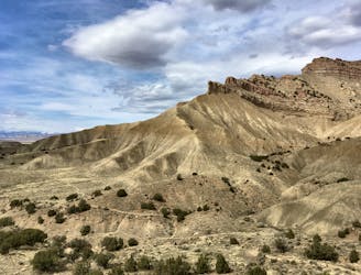
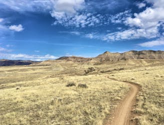
The Sarlacc Trail is one of the newest trails in the greater 18 Road Trail System but unlike the most popular rides, Sarlacc traverses the top of the Book Cliffs, looking down on the other trails in the area from high above. From the top of the cliffs, you’ll enjoy "incredible views of the back of the Bookcliffs as well as enormous views of the Grand Valley,” according to BackcountryBiker.com.
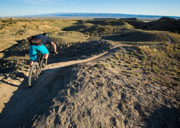
The entire trail is a beautiful bench cut construction that follows the contours of the land and the edge of the ridge. While there aren’t any major climbs or descents on this ride, the short and steep ups-and-downs can add up quickly!
Expect to face "some tight corners, rock moves and twisty and rolling whoops,” according to BackcountryBiker.
Note that Sarlacc has a seasonal closure, and that the trail is only open from May 1st until November 30th.
Sources: BackcountryBiker.com Pinkbike.com
Difficult
Mostly stable trail tread with some variability featuring larger and more unavoidable obstacles that may include, but not be limited to: bigger stones, roots, steps, and narrow curves. Compared to lower intermediate, technical difficulty is more advanced and grades of slopes are steeper. Ideal for upper intermediate riders.

Some trail sections have exposed ledges or steep ascents/descents where falling could cause serious injury.
Little chance of being seen or helped in case of an accident.
5.4 km away
Zippety Do Da provides the fast downhill bombs, swoop and flow, and visually-stunning ridgeline singletrack that put Fruita on the map.
Difficult Mountain Biking
5.4 km away
An aerobically-challenging but technically-moderate loop that will remove you from most of 18 Road's crowds.
Moderate Mountain Biking
5.4 km away
This short beginner loop in the North Fruita Desert is not only very approachable, it's a heck of a lot of fun, too!
Easy Mountain Biking
5.4 km away
One of 18 Road's ripping ridgeline trails!
Difficult Mountain Biking
5.4 km away
Quite possibly the chillest and most enjoyable beginner trail in the state.
Easy Mountain Biking
5.4 km away
A masochistic loop ride that was removed from IMBA's list of Epics.
Extreme Mountain Biking
5.4 km away
A little-ridden loop far away from the normal 18 Road hordes.
Difficult Mountain Biking
12 routes · Mountain Biking

37 routes · Mountain Biking
4 routes · Mountain Biking
8 routes · Mountain Biking
10 routes · Mountain Biking

24 routes · Mountain Biking