50 m away
18 Road Beginner Loop: Prime Cut -> PBR
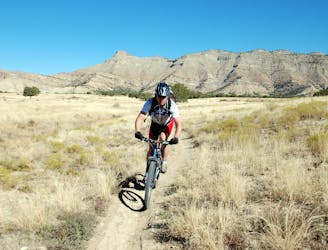
This short beginner loop in the North Fruita Desert is not only very approachable, it's a heck of a lot of fun, too!
Easy Mountain Biking
- Distance
- 6.9 km
- Ascent
- 147 m
- Descent
- 147 m
A little-ridden loop far away from the normal 18 Road hordes.
Mountain Biking Difficult

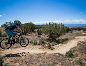
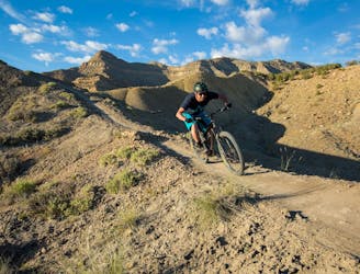
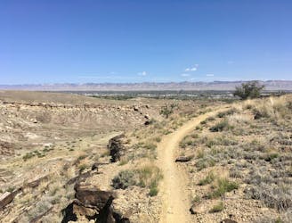
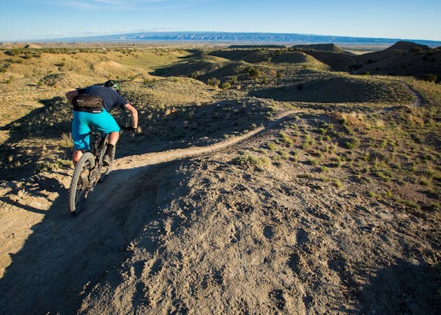
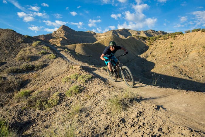
Zippety Do Da is one of the original trails in the North Fruita Desert that helped put Fruita on the mountain bike map. The singletrack flows along treeless desert ridges, plummeting sharply down the backside of the rolls in the ridge only to rocket back up the next ridge.
The flow is incredible, the speed bordering on scary. The commitment required to drop into the descents fast enough to make it up the next steep ridge actually requires advanced-level mountain bike skills, although the singletrack isn't actually rocky or technical. While a confident intermediate rider could probably tackle this trail, it's surprisingly challenging.
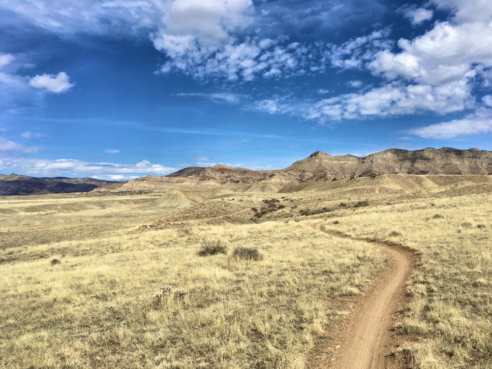
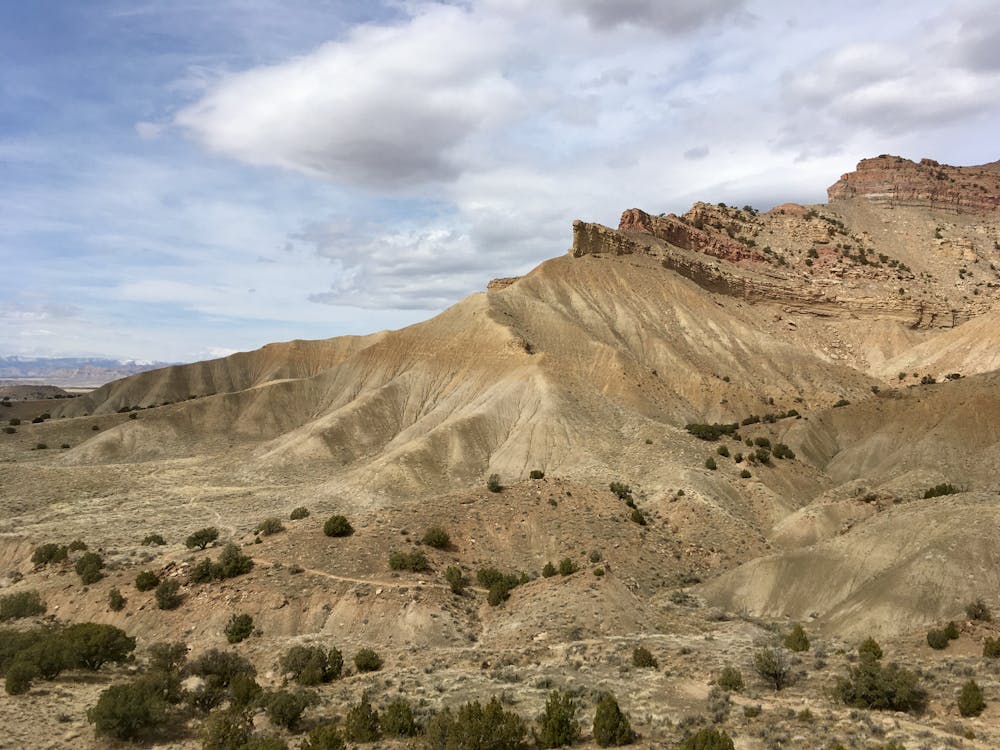
While you can climb the popular Prime Cut trail and traverse Frontside to reach the top of Zippety, the loop mapped here is a less-ridden option that takes you far away from the hordes swarming the more popular 18 Road trails. Instead of heading toward Prime Cut, head the other direction from the trailhead, toward the bottom of the descents. Traverse west across the bottom of the trail system, and then begin climbing Zip Off to Western Zippety.
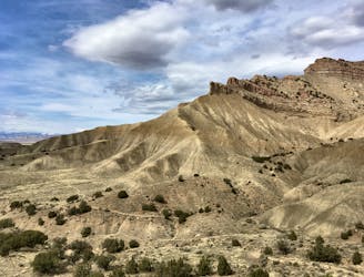
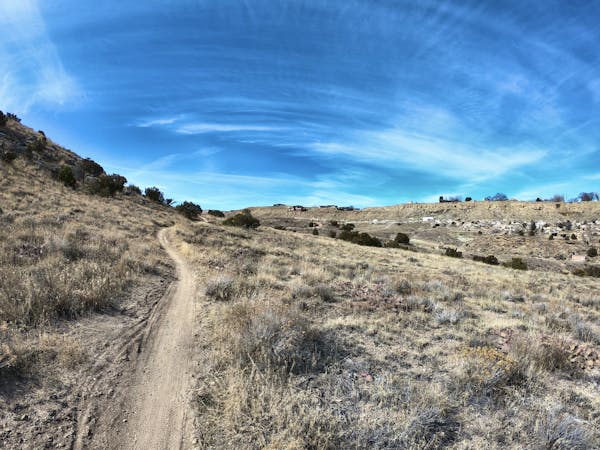
These little-ridden trails create an absolutely delightful, flowy climb up the mesa as you approach the Book Cliffs. It's incredible how much narrower the singletrck is this far away from the main trailhead, and you have to wonder: were all the trails at 18 Road once this narrow?! It's a bit depressing to contemplate, and puts the local slogan, "Keep singletrack single," in perspective.
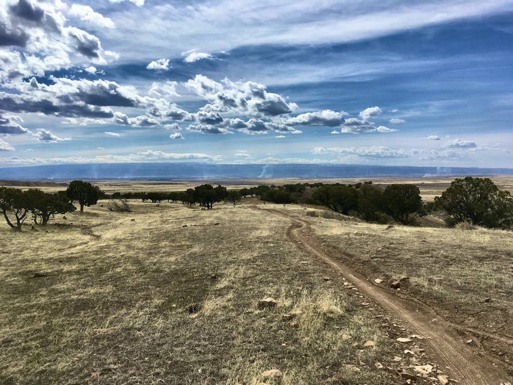
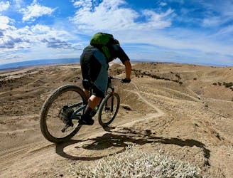
After turning right on Frontside, you'll be confronted by a steep, switchbacked climb that will force most riders to hike-a-bike. Don't worry, it's over quick, and you'll soon ripping down the iconic Zippety Do Da descent!
Difficult
Mostly stable trail tread with some variability featuring larger and more unavoidable obstacles that may include, but not be limited to: bigger stones, roots, steps, and narrow curves. Compared to lower intermediate, technical difficulty is more advanced and grades of slopes are steeper. Ideal for upper intermediate riders.

The trail contains some obstacles such as outcroppings and rock which could cause injury.
Away from help but easily accessed.
50 m away
This short beginner loop in the North Fruita Desert is not only very approachable, it's a heck of a lot of fun, too!
Easy Mountain Biking
51 m away
Zippety Do Da provides the fast downhill bombs, swoop and flow, and visually-stunning ridgeline singletrack that put Fruita on the map.
Difficult Mountain Biking
51 m away
Quite possibly the chillest and most enjoyable beginner trail in the state.
Easy Mountain Biking
51 m away
A masochistic loop ride that was removed from IMBA's list of Epics.
Extreme Mountain Biking
51 m away
One of 18 Road's ripping ridgeline trails!
Difficult Mountain Biking
52 m away
An aerobically-challenging but technically-moderate loop that will remove you from most of 18 Road's crowds.
Moderate Mountain Biking
5.4 km away

A beautiful trail running high above the rest of the 18 Road Trail System.
Difficult Mountain Biking
12 routes · Mountain Biking

37 routes · Mountain Biking
4 routes · Mountain Biking
8 routes · Mountain Biking

10 routes · Mountain Biking

24 routes · Mountain Biking