2.7 km away
Shafer Butte from Simplot Lodge
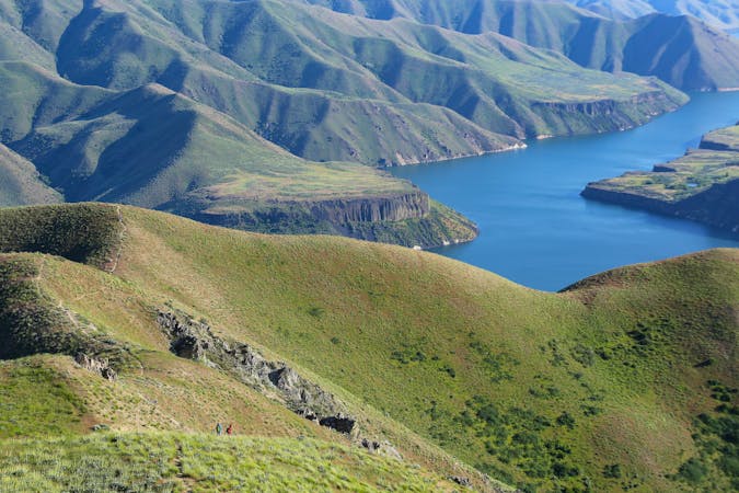
A scenic hike through Bogus Basin to the highest point along the Boise Ridge.
Moderate Hiking
- Distance
- 12 km
- Ascent
- 461 m
- Descent
- 461 m
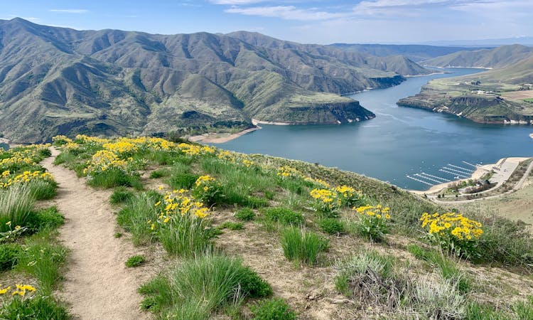
A pleasant loop in the forest reaching the top of Mores Mountain, high above the heat in Boise
Hiking Moderate

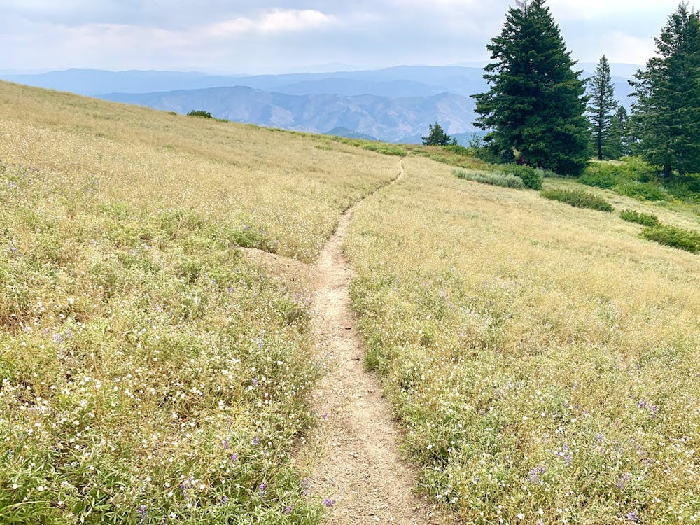
This hike near Bogus Basin is great for the whole family and well worth the drive from Boise when it's too hot to hike in the foothills. At over 7000 feet, Mores Mountain stays much cooler. The canopy of Douglas-fir and pine trees give plenty of shade, and bountiful wildflowers bloom throughout the summer. Countless viewpoints off the mountain are granted by rock outcrops and sloping meadows.
There are also numbered posts along the way, which correspond to a brochure9https://www.fs.usda.gov/recarea/boise/recarea/?recid=5125) provided online by the Forest Service. Download this before you go, if you want to learn more about the nature that surrounds you.
The hike is generally easy but has some steep grades and gravelly surface on the westernmost portion of the loop. If you skip the portion of the trail signed as the "extension" then you'll avoid the tougher parts without missing any of the interpretive posts.
Moderate
Hiking along trails with some uneven terrain and small hills. Small rocks and roots may be present.

The trail contains some obstacles such as outcroppings and rock which could cause injury.
Away from help but easily accessed.
2.7 km away
A scenic hike through Bogus Basin to the highest point along the Boise Ridge.
Moderate Hiking
6.5 km away
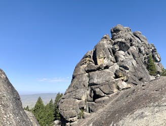
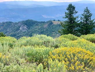
A hike through mountainside meadows and conifer forest high above Boise, overlooking the valley and reaching a stand-out rock formation at the end.
Moderate Hiking
10 routes · Hiking
10 routes · Hiking
8 routes · Hiking · Trail Running