4.4 km away
8th Street - Hard Guy Loop
A huge climb up to the Boise Ridge, then a big bomb down on stellar singletrack.
Difficult Mountain Biking
- Distance
- 23 km
- Ascent
- 956 m
- Descent
- 956 m
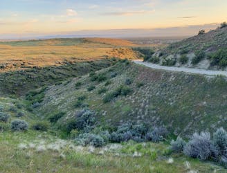
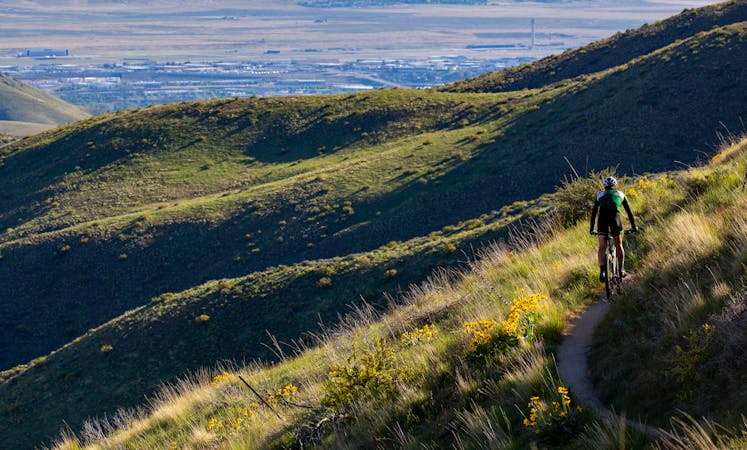
A locals' go-to loop in the foothills, close to Eagle and Meridian.
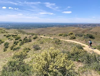
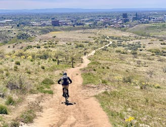
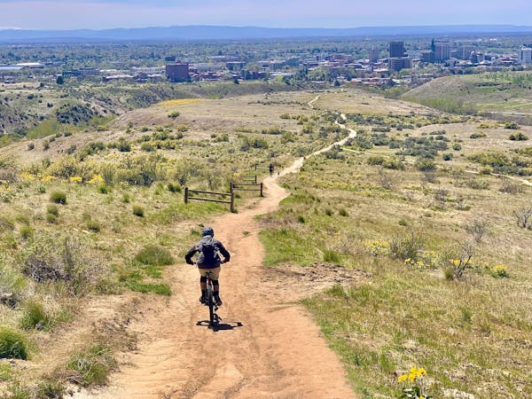
Mountain Biking Moderate

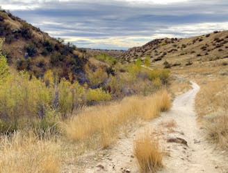
This trail loop is almost all singletrack, winding through the scenic Boise Foothills. It goes gradually up the valley of Polecat Gulch to a panoramic ridgeline, then twists in and out of smaller canyons. It mostly contours the ridges, avoiding any super steep sections. One quick descent awaits at the end to return to the trailhead.
The surface is mostly smooth hardpack, but has some significant sandy stretches and some rocks to keep things interesting. Much of the route is on north-facing slopes, so it can be good in summer when other places are too hot. The downside is that these trails are slower to dry than some others in the area, so they may be too muddy in the colder seasons. As mapped here, the loop starts from Polecat Gulch trailhead, but you could alternately start from the parking area on Cartwright Road.
Note: As of 2021, all users are required to travel counter-clockwise on this loop (may not apply in the winter).
Source: https://www.ridgetorivers.org/
Moderate
Mostly stable trail tread with some variability, with unavoidable obstacles 8in/20cm tall or less. Other obstacles such as rock gullies and steep sections may exist. Ideal for lower intermediate riders.

The trail contains some obstacles such as outcroppings and rock which could cause injury.

Close to help in case of emergency.
4.4 km away
A huge climb up to the Boise Ridge, then a big bomb down on stellar singletrack.
Difficult Mountain Biking
4.6 km away
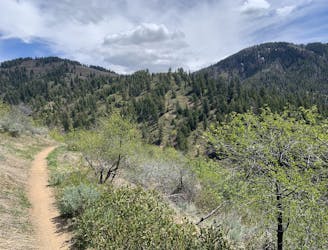
A big climb and glorious downhill in the upper Foothills, with water crossings and miles of lush forest.
Severe Mountain Biking
4.6 km away
A grueling combo of two favorite area trails.
Severe Mountain Biking
5.5 km away
A double loop combining two of the best short descents in the lower foothills.
Difficult Mountain Biking
7.3 km away
A decent climb and a flow trail that are good for building skills.
Easy Mountain Biking
7.4 km away

A showcase combo of stellar trails, starting from Military Reserve near downtown Boise.
Difficult Mountain Biking
7.5 km away
A go-to quick lap with a sporty downhill at Military Reserve.
Moderate Mountain Biking
7.5 km away
A favorite in the lower foothills, done as part of a loop or with a shuttle.
Moderate Mountain Biking
12 routes · Mountain Biking
6 routes · Mountain Biking