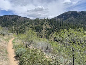
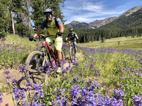
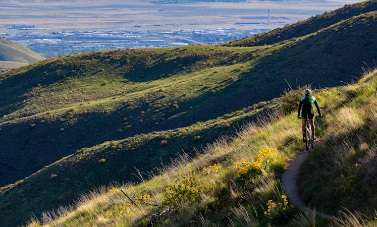
Freddy's Stack Rock Loop
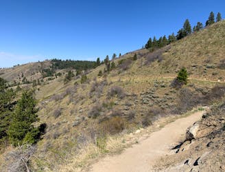
A scenic romp through mountainside meadows and montane forest, with bonus views from the iconic Stack Rock formation.
Moderate Mountain Biking
- Distance
- 15 km
- Ascent
- 356 m
- Descent
- 356 m
From easy to burly, discover the best mountain bike loops in Boise’s backyard trails.
Mountain Biking Easy, Moderate, Difficult, Severe
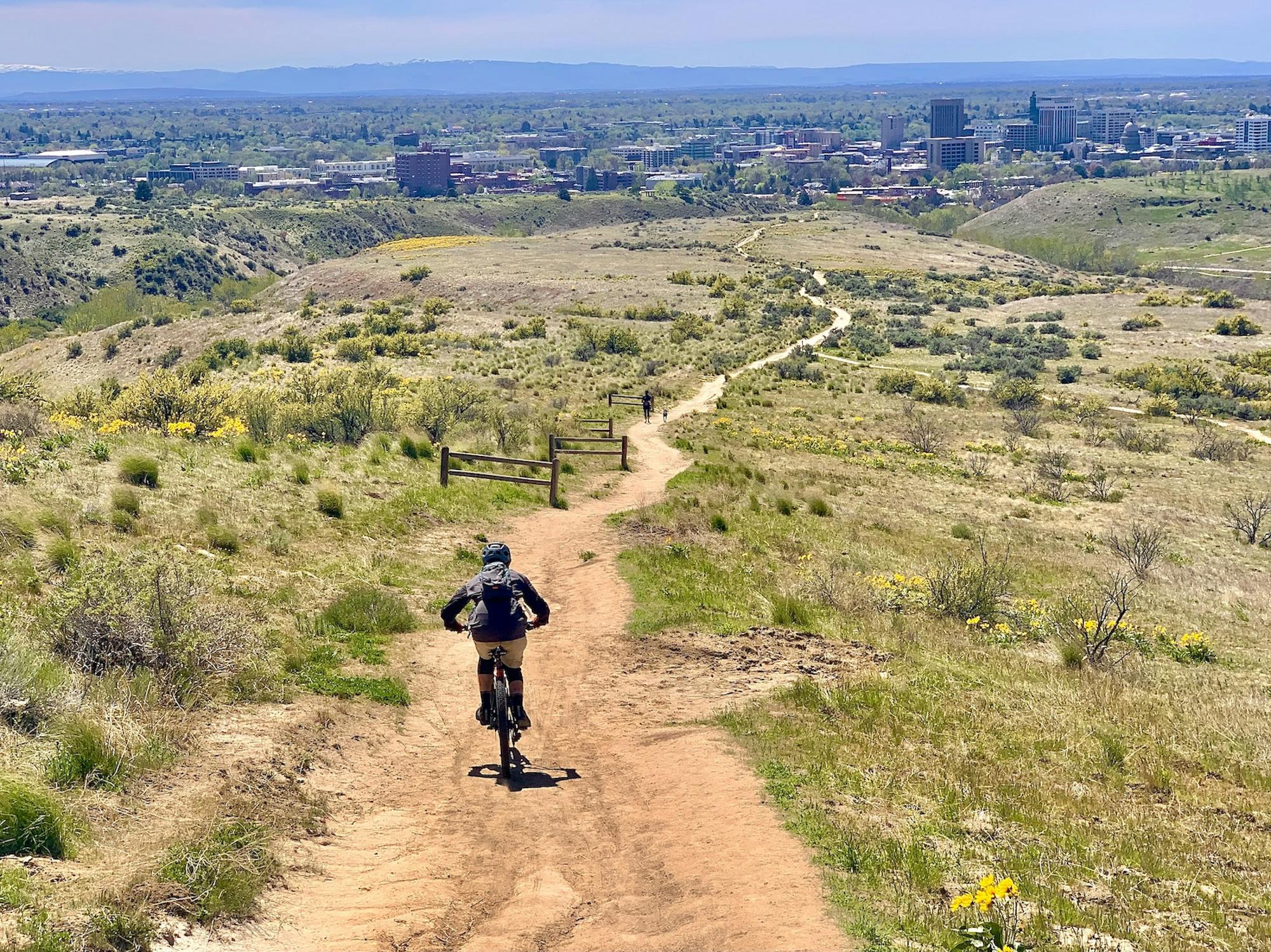
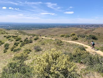
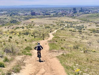
Boise has earned its reputation as a trail town, thanks in no small part to the ever-growing mountain bike community. Local riders have played a big role in advocating and expanding the city’s Ridge to Rivers trail network, which currently features more than 190 miles of trails open to bikes. Boise has, in fact, received the IMBA’s gold-level designation as a ride center, awarded for exceptional access and community support of mountain bike trails.
Of course, this distinction has a lot to do with the city’s location as well. Boise sits at the edge of the plains and at the foot of a mountain range. The flat urban streets dead-end at the base of vast grassy hills, with a pine-cloaked crest high above. Connecting it all is a web of singletrack and dirt roads, offering a wealth of riding opportunities with spectacular scenery.
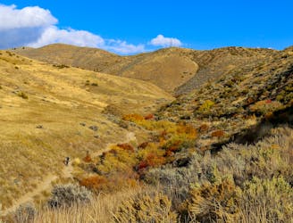
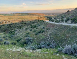
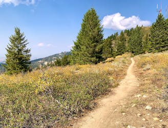
Boise’s hills are predominantly made of clay-heavy soil––nicely compactable but also highly erodible. This means smooth riding when it’s dry, but a mucky mess that’s easily damaged when wet. As signs at the trailheads insist, “If you leave a track, turn back!” Therefore late spring through fall is the typical season for trail riding in Boise, when the tread is firm and fast. But additional variety can be found in better-draining granite sands, and in upper elevations where the dirt is loamy and more stable. Therefore a complete tour of Boise trails will include cruiser flow at the lower elevations, techy rock gardens in the mid foothills, and swoopy track through the trees up high.
To help find your ideal rides, we’ve compiled this guidebook of recommended loops, including all difficulties and a variety of locations. The map reveals concise pockets of trails in the lower foothills, and a broader network climbing into the upper elevations. In general, you’ll find lots of moderate loops close to town and the bigger, burlier rides going outward and upward. Simply tap on a route for details, and explore the map to find more variations you might create. You can then check current conditions online at Ridge to Rivers before you head out.
A scenic romp through mountainside meadows and montane forest, with bonus views from the iconic Stack Rock formation.
Moderate Mountain Biking

A locals' go-to loop in the foothills, close to Eagle and Meridian.
Moderate Mountain Biking
A double loop combining two of the best short descents in the lower foothills.
Difficult Mountain Biking

A showcase combo of stellar trails, starting from Military Reserve near downtown Boise.
Difficult Mountain Biking
A decent climb and a flow trail that are good for building skills.
Easy Mountain Biking
A big climb and glorious downhill in the upper Foothills, with water crossings and miles of lush forest.
Severe Mountain Biking
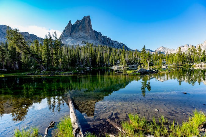
A scenic escape to high elevation when the foothills heat up in summer.
Moderate Mountain Biking

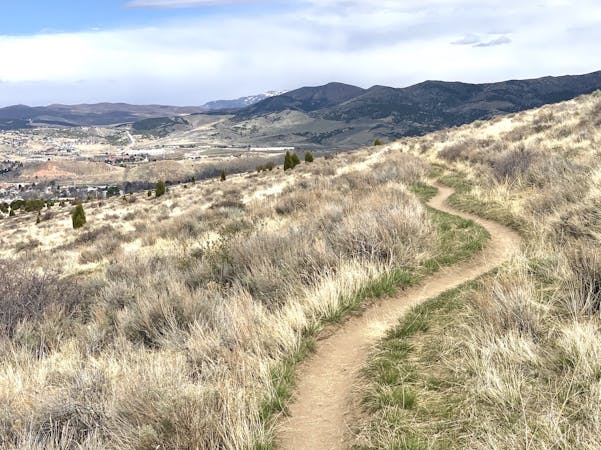
Beginner loop that makes a simple intro to mountain biking in the Boise foothills.
Easy Mountain Biking
A huge climb up to the Boise Ridge, then a big bomb down on stellar singletrack.
Difficult Mountain Biking

A linkup of the two best trail rides at the foot of Lucky Peak.
Difficult Mountain Biking

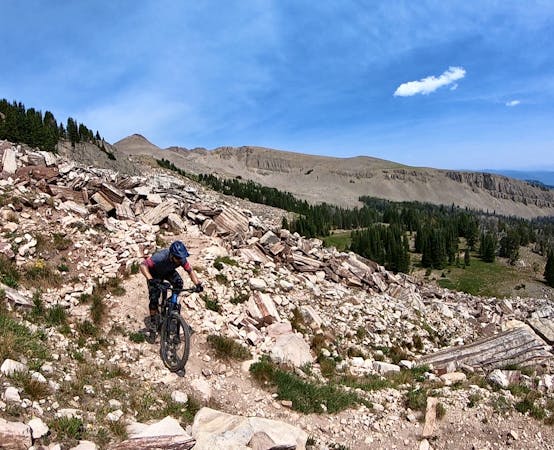
Advanced tech trails through the boulder fields on Table Rock.
Severe Mountain Biking
A go-to quick lap with a sporty downhill at Military Reserve.
Moderate Mountain Biking

25 routes · Mountain Biking
5 routes · Mountain Biking

10 routes · Mountain Biking

10 routes · Mountain Biking

24 routes · Mountain Biking
13 routes · Alpine Climbing · Mountain Biking · Gravel Biking · Hiking · Road Biking · Sailing · Trail Running
5 routes · Mountain Biking
3 routes · Mountain Biking
6 routes · Mountain Biking
10 routes · Mountain Biking