3.7 km away
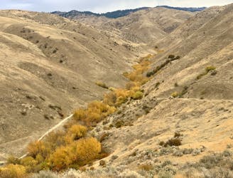
Eastside to Sweet Connie Downhill
Awesome shuttle ride from the pines of Bogus Basin into the prairie of the foothills.
Difficult Mountain Biking
- Distance
- 21 km
- Ascent
- 365 m
- Descent
- 1.1 km
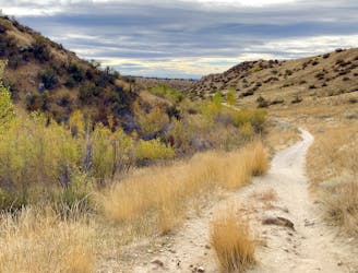
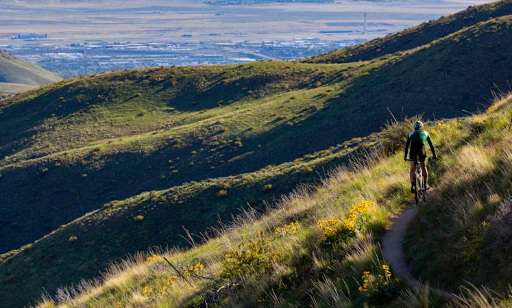
A scenic romp through mountainside meadows and montane forest, with bonus views from the iconic Stack Rock formation.
Mountain Biking Moderate

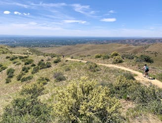
Stack Rock is one of Boise’s iconic hikes, but also makes a great mountain bike trail. Try to get here early or late in the day to avoid the height of the hiker crowds. It’s worth it for the quality riding, sweeping views, and of course the wild geology of Stack Rock.
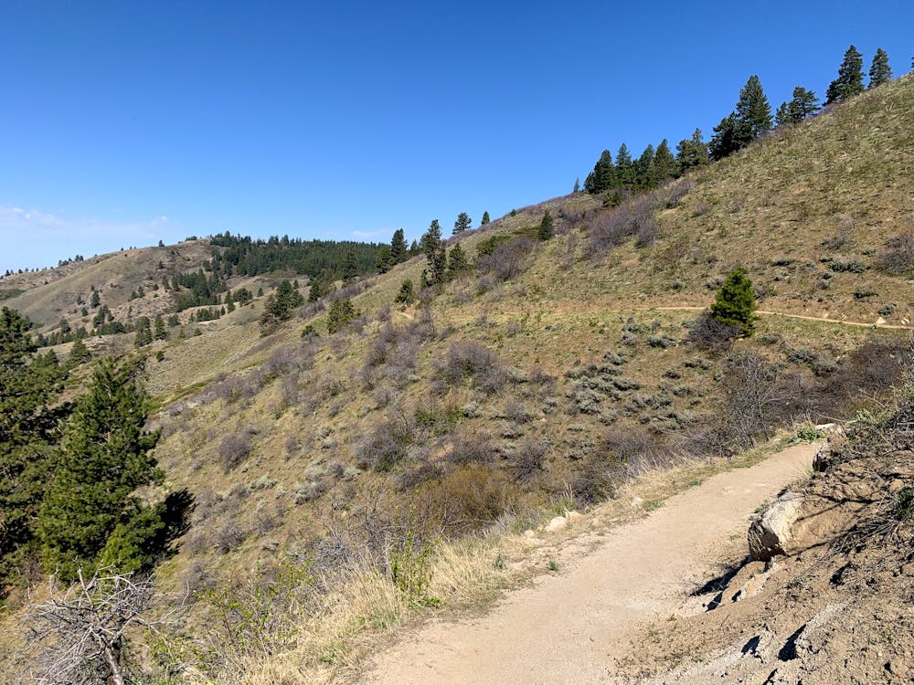
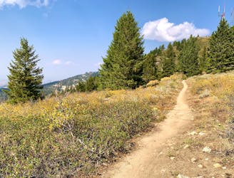
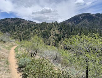
There are a handful of other trails that can link with Stack Rock trail (signed as Freddy’s Stack Rock), but the route mapped here stays on Stack Rock trail the whole way, making a stem and loop that begins from an unofficial trailhead on Bogus Basin Road. The first couple of miles are quality singletrack rolling across panoramic hillsides, through meadows and pockets of forest, with some small-medium rock features. The tread is mostly hardpack and smooth, with just a few sandy sections.
At a multi-trail junction, the track changes character significantly. It becomes wider and flatter, following an old road, and enters deeper forest. A shady and easy pedal soon leads to a fork where both trails are signed “Freddy’s Stack Rock,” making the start of the loop. It’s recommended to go left here, to get the climbing out of the way, and save the better trail for the downhill. The ascent is pretty steep, on an old road that’s rutted in places. At the top of the hill you’ll see the spur trail to Stack Rock, and you won’t want to miss the short detour.
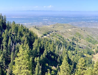
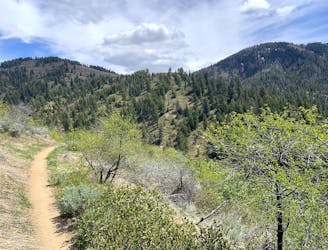
From the base of this huge chunk of granite, you’ll get impressive views over the valley and surrounding mountains. Scramble up one of the outcrops for an even better vantage. Back on the trail, the loop continues beneath the sheer west face of the formation, then turns into excellent singletrack for a swooping descent through leafy montane forest. At another fork, you’ll have the option to switch it up by taking a connector to Mr. Big Trail, or you can continue on Freddy’s Stack Rock to complete the loop as mapped here.
Sources: https://www.ridgetorivers.org/ https://www.cityofboise.org/departments/parks-and-recreation/parks/stack-rock-reserve/
Moderate
Mostly stable trail tread with some variability, with unavoidable obstacles 8in/20cm tall or less. Other obstacles such as rock gullies and steep sections may exist. Ideal for lower intermediate riders.

The trail contains some obstacles such as outcroppings and rock which could cause injury.
Away from help but easily accessed.
3.7 km away
Awesome shuttle ride from the pines of Bogus Basin into the prairie of the foothills.
Difficult Mountain Biking
3.8 km away
Up from Bogus Basin and along the ridge, then a huge downhill on some of Boise's best singletrack.
Difficult Mountain Biking
3.8 km away
A scenic escape to high elevation when the foothills heat up in summer.
Moderate Mountain Biking
6.5 km away
A grueling combo of two favorite area trails.
Severe Mountain Biking
6.5 km away
A big climb and glorious downhill in the upper Foothills, with water crossings and miles of lush forest.
Severe Mountain Biking
6.5 km away

A big downhill ride with a shuttle, and a step up in difficulty over most trails in the area.
Severe Mountain Biking
8 km away
A huge climb up to the Boise Ridge, then a big bomb down on stellar singletrack.
Difficult Mountain Biking
9.4 km away
A favorite in the lower foothills, done as part of a loop or with a shuttle.
Moderate Mountain Biking
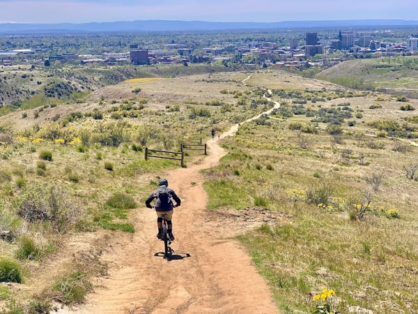
12 routes · Mountain Biking
6 routes · Mountain Biking