126 m away
Mahalo to Dry Creek
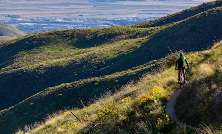
Up from Bogus Basin and along the ridge, then a huge downhill on some of Boise's best singletrack.
Difficult Mountain Biking
- Distance
- 24 km
- Ascent
- 389 m
- Descent
- 1.2 km
Awesome shuttle ride from the pines of Bogus Basin into the prairie of the foothills.
Mountain Biking Difficult

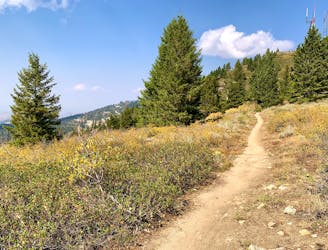
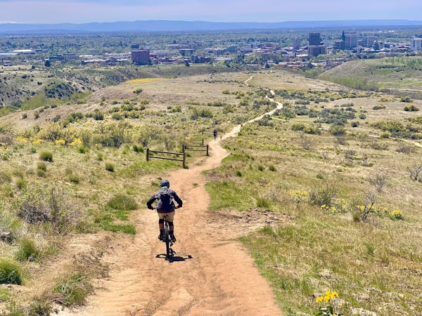
Start from Bogus Basin's lower lots and ride a short distance down the road to find Eastside trail heading into the woods. Ride the main track for a fast and swoopy trip through the trees, with some creek crossings and minor features. To the sides you can find larger features like jumps, rock crawls, and log rides. The excellent variety makes this trail worth coming back and riding as a loop all its own.
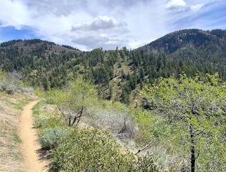
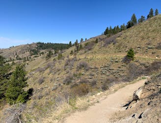
Eventually Eastside meets a 4-way junction with the Stack Rock trail. Continue straight ahead to start Sweet Connie. This trail tips downhill right away, emerging from the trees onto brushy slopes. You'll carve through loose switchbacks down into a creek valley, where the trail continues downhill on tight singletrack. Some sections become quite technical, and there are drop offs to keep you on your toes.
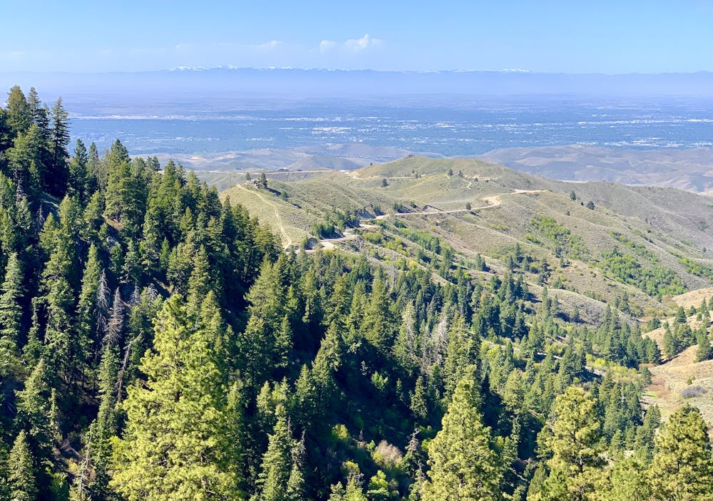
After a few miles beside the creek the trail rises to broad prairie slopes, then turns downhill through a panoramic lower valley. After dipping to the creek once more, climbing resumes through a mix of sagebrush and squat forest. The trail finally hits Bogus Basin Road near the Dry Creek trailhead, where you can leave a car waiting.
This ride enjoys a fairly long season because it can still be tolerable in the summer. The upper elevations can stay snowy/muddy throughout June, however, so in early season you might shortcut in on Stack Rock connector trail. Start from the trailhead lower on Bogus Basin Road and ride the swoopy, traversing singletrack to reach the 4-way junction where Sweet Connie begins. As with other trails in the foothills, avoid this one if it's muddy in order to preserve the tread.
Difficult
Mostly stable trail tread with some variability featuring larger and more unavoidable obstacles that may include, but not be limited to: bigger stones, roots, steps, and narrow curves. Compared to lower intermediate, technical difficulty is more advanced and grades of slopes are steeper. Ideal for upper intermediate riders.

The trail contains some obstacles such as outcroppings and rock which could cause injury.
Away from help but easily accessed.
126 m away
Up from Bogus Basin and along the ridge, then a huge downhill on some of Boise's best singletrack.
Difficult Mountain Biking
127 m away
A scenic escape to high elevation when the foothills heat up in summer.
Moderate Mountain Biking
3.7 km away
A scenic romp through mountainside meadows and montane forest, with bonus views from the iconic Stack Rock formation.
Moderate Mountain Biking
9.4 km away

A big downhill ride with a shuttle, and a step up in difficulty over most trails in the area.
Severe Mountain Biking
12 routes · Mountain Biking
6 routes · Mountain Biking