2.2 km away
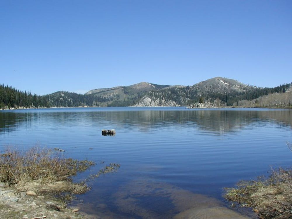
Spooner Lake Loop
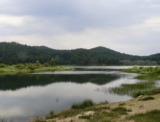
Easy hike around picturesque Spooner Lake, among summer wildflowers or fall foliage.
Easy Hiking
- Distance
- 4.4 km
- Ascent
- 78 m
- Descent
- 79 m
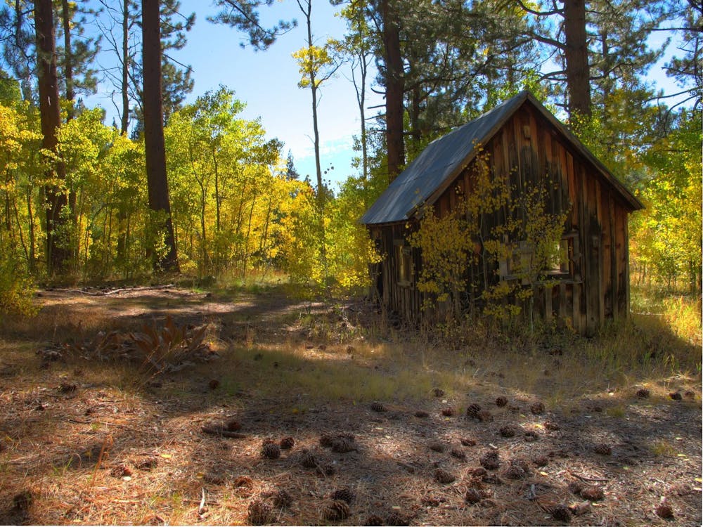
Colorful forest hike to Marlette Lake, a historic reservoir with historic cabins near its shore and on the particularly picturesque Chimney Point.
Hiking Moderate
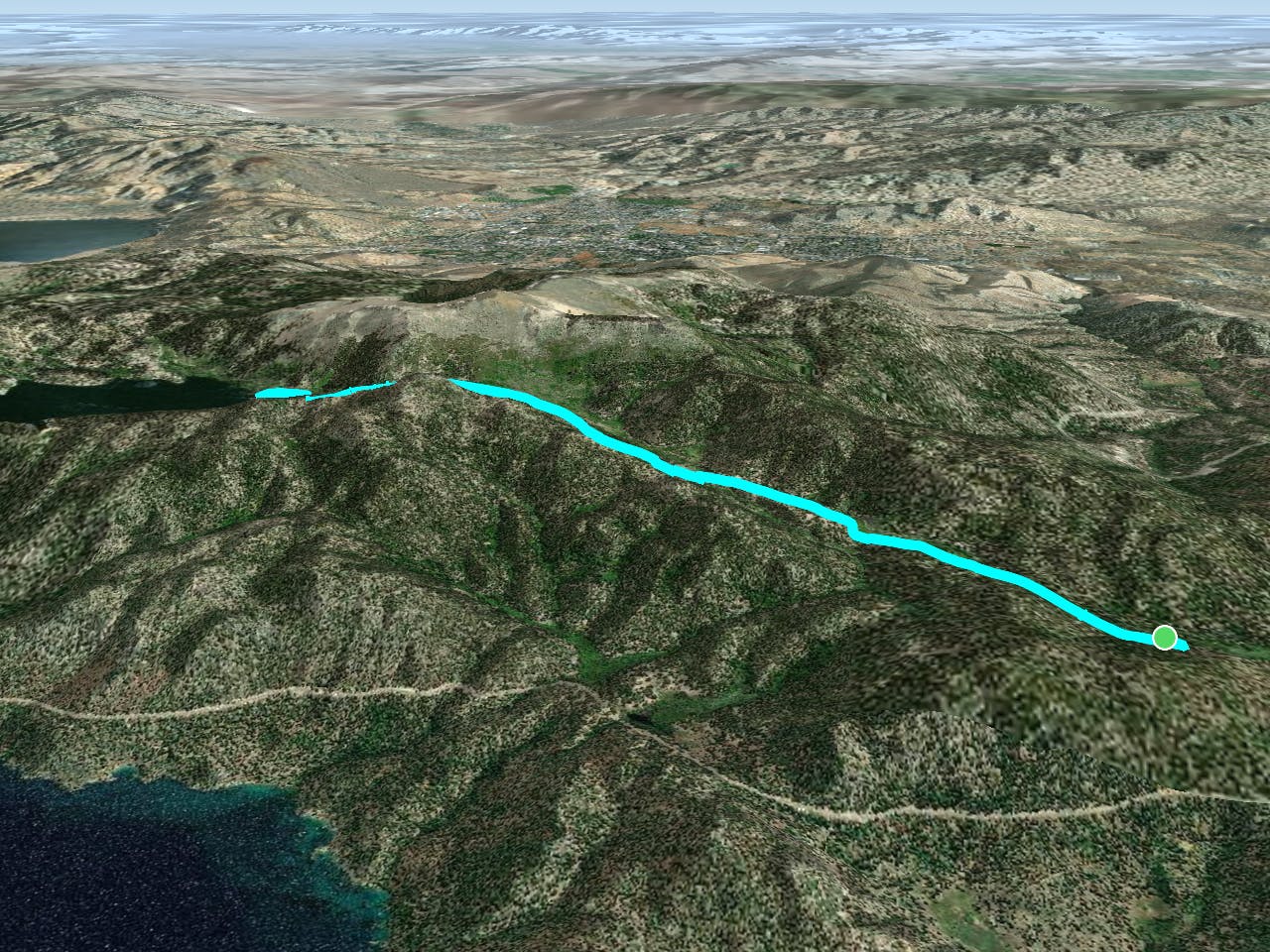
This trail leads gently upward through the greenery of North Canyon to Marlette Lake. The lake is, in fact, a reservoir where a natural pond was made bigger by an earthen dam, built to supply water to a log flume during the late 1800s.
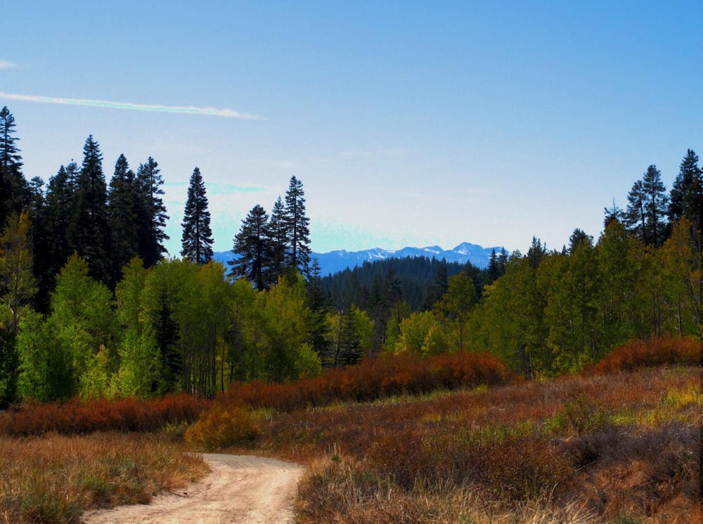
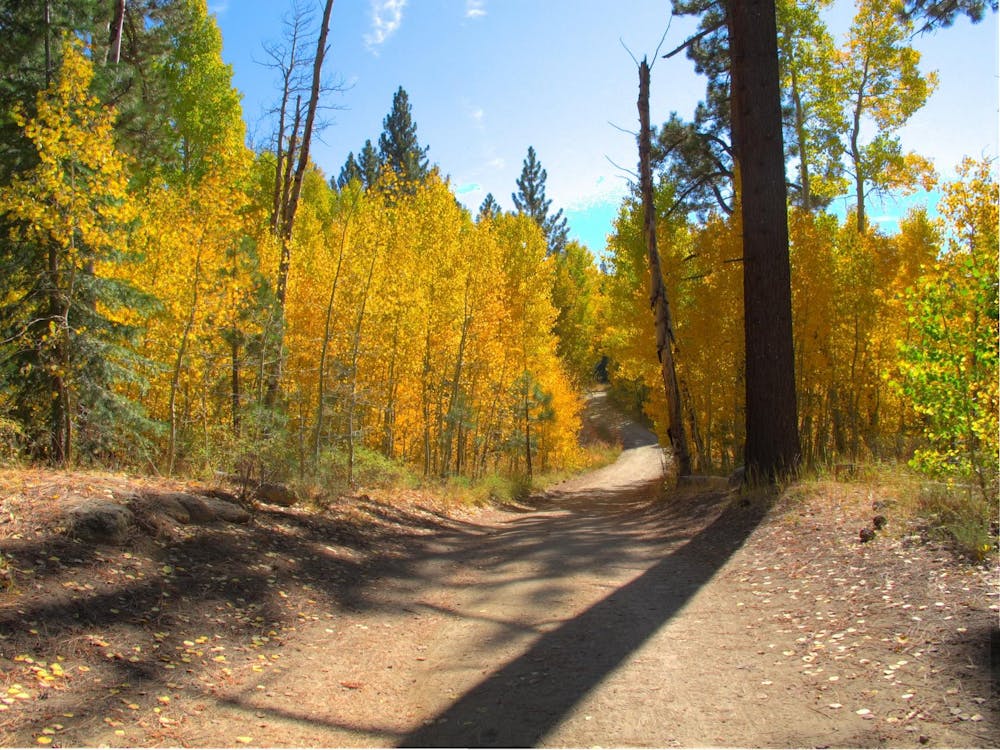
There is a dirt road through North Canyon as well, leading to a campground, but the singletrack trail is open only to hikers, bikers, and horses. It runs parallel to the road, separated by a screen of leafy forest. On the trail you will pass through cool pine glades, sunny meadows, and aspen tree tunnels that blaze gold in the fall. Long stretches of trail are fringed with wildflowers, and others with ferns. It occaisonally runs down by the trickling creek and sometimes, up on the wooded hillside. The gradient is mostly mellow uphill with a few short, steep sections.
Eventually you will crest a rise and start going downhill, where a glimpse of the water appears through the trees. The trail meets the lake at its southern tip, where you have the choice of going left or right along a wide path. Left goes toward the dam and links with the Flume Trail. Right links with the dirt road and leads to Chimney Point—a must-see spot on Marlette Lake.
Chimney Point is a small spit of land extending out into the water, nearly forming an island but not quite, where a solitary old chimney stands in the middle. This stonework is all that’s left of a cabin that once stood here. Other old cabins remain intact near the shore of the lake as well. Signs along the trail tell about the history of the area, focusing on the logging era more than 100 years ago when most of the development here occurred. Take as much time as you like exploring the extensive shoreline of this lake, which sits in an unlikely basin on the mountainside above Lake Tahoe’s east shore. You can even find a view of Lake Tahoe far below from near the dam on Marlette’s west shore.
Moderate
Hiking along trails with some uneven terrain and small hills. Small rocks and roots may be present.

The path is on completely flat land and potential injury is limited to falling over.
Close to help in case of emergency.
2.2 km away
Easy hike around picturesque Spooner Lake, among summer wildflowers or fall foliage.
Easy Hiking
2.4 km away
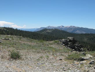
This relatively short section traverses the west side of the Carson Range through lush conifer forest, stands of aspen, and flowery meadows.
Difficult Hiking
5.5 km away
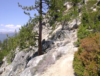
Uphill hike through forest to a large alpine reservoir perched in the mountains above Lake Tahoe, with access to the historic Flume Trail.
Difficult Hiking

8 routes · Hiking

14 routes · Hiking