FATMAP by Strava

Spooner Lake Loop

Lake Tahoe

Easy hike around picturesque Spooner Lake, among summer wildflowers or fall foliage.

Hiking Easy

Distance
4.4 km
Ascent
78 m
Descent
79 m
Duration
1-2 hrs
Low Point
2.1 km
High Point
2.2 km
Gradient
Spooner Lake Loop Map

Located just a short stroll from the highway at Spooner Summit is Spooner Lake, a lovely pond and marshy meadow surrounded by forest. Accessible at any time of year, it’s a place for wildflowers in the spring and summer, foliage in the fall, and snow in the winter.

Description

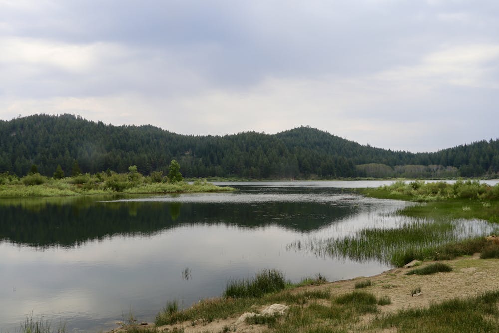
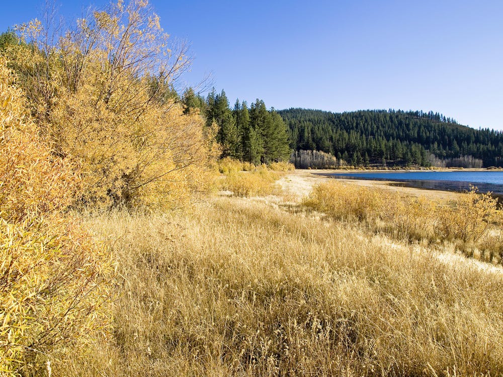
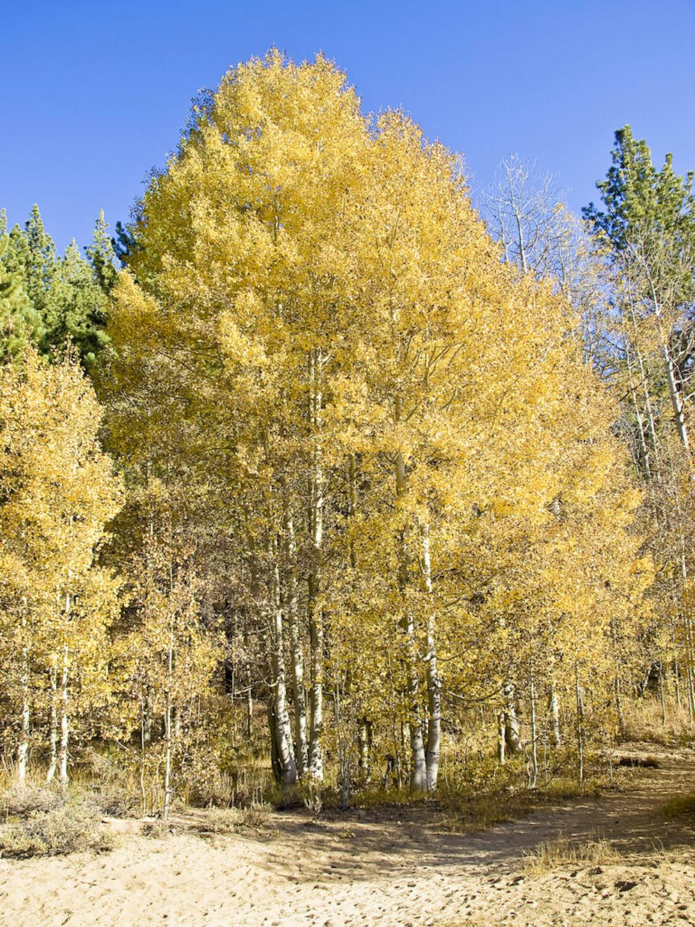
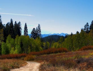
Most people visit in the warmer months, when you can wander through shady forest around the lake and green grass at its edge, among lupines, mule’s ear, and many other showy flowers. Colder temperatures in the fall are no reason to stay away, however, because the aspens and willows surrounding the blue water turn to brilliant yellow and gold. When snow falls in the winter, come back to snowshoe or ski around the frozen lake.

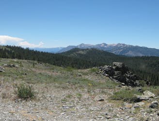
Spooner Lake’s location is convenient along US-50 in between Carson City and Lake Tahoe, making it an easy adventure along the way. It is also just off the Tahoe Rim Trail, which crosses the road at Spooner Summit and accesses wilder destinations higher in the mountains. Spooner Lake is also near the mouth of North Canyon, which leads by trail or dirt road to a campground and the larger Marlette Lake.

Difficulty

Easy

Walking along a well-kept trail that’s mostly flat. No obstacles are present.

Low Exposure

1 out of 4

The path is on completely flat land and potential injury is limited to falling over.

Remoteness

1 out of 4

Close to help in case of emergency.

Best time to visit

all year round

Features

  • Wildlife
  • Picturesque
  • Dog friendly
  • Wild flowers
  • Water features
  • Family friendly
  • Forestry or heavy vegetation

Similar routes nearby

Guidebooks in this area