1.6 km away
Ziggy

An entertaining connector trail along the top of the bike park.
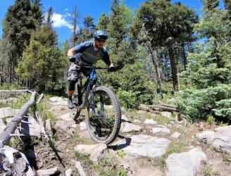
Difficult Mountain Biking
- Distance
- 1.1 km
- Ascent
- 0 m
- Descent
- 100 m
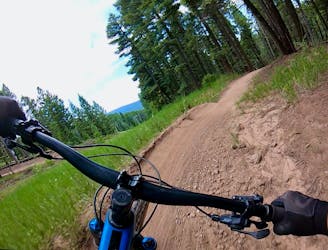
The fan favorite, with top to bottom flow and jumps.
Mountain Biking Moderate

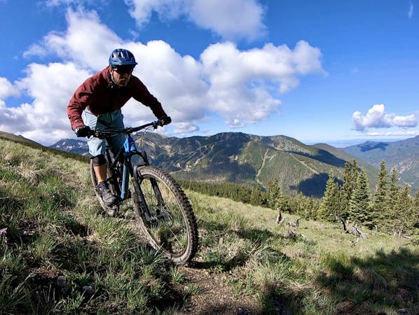
This is a popular mountain biking route which is generally considered to be moderate. It's an unknown remoteness, it features unknown exposure and is typically done in an unknown time of year. From a low point of 2.7 km to the maximum altitude of 3 km, the route covers 2.4 km, 0 vertical metres of ascent and 242 vertical metres of descent.
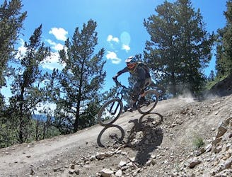
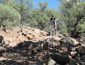
Boulder Dash is the local favorite run, and always a great time for any level of rider. It contains medium to large berms and small to medium tabletops, but all jumps are easily rolled.
Moderate
Mostly stable trail tread with some variability, with unavoidable obstacles 8in/20cm tall or less. Other obstacles such as rock gullies and steep sections may exist. Ideal for lower intermediate riders.
1.6 km away
An entertaining connector trail along the top of the bike park.
Difficult Mountain Biking
1.6 km away
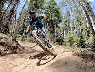
Flowy, steep, and scenic.
Difficult Mountain Biking
1.9 km away
A loop incorporating the only climbing trail at Angel Fire Resort.
Difficult Mountain Biking
3.2 km away

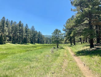
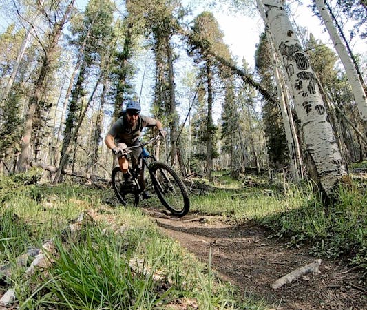
A quick pedal from Angel Fire leads to a beautiful aspen grove.
Moderate Mountain Biking
3.4 km away
An epic loop ride from downtown Angel Fire.
Difficult Mountain Biking
3.4 km away
A convenient beginner loop that's rideable directly from downtown Angel Fire.
Easy Mountain Biking
8.1 km away
An epic, challenging backcountry loop on little-ridden singletrack.
Difficult Mountain Biking
9.6 km away
The South Boundary Trail is New Mexico's favorite epic shuttle ride.
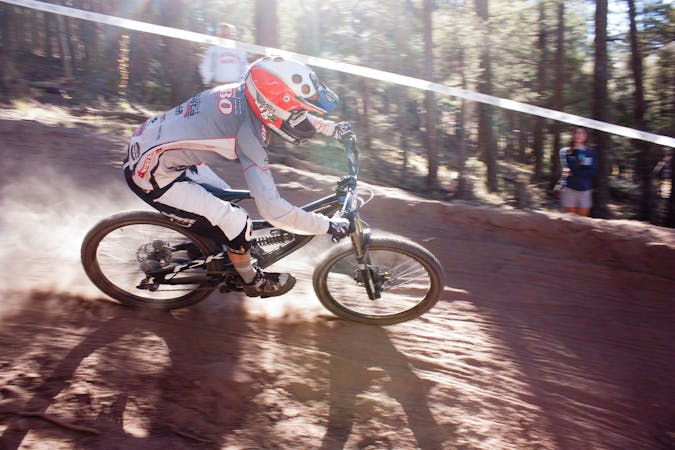
Severe Mountain Biking
28 routes · Mountain Biking

24 routes · Mountain Biking
9 routes · Mountain Biking
5 routes · Mountain Biking