782 m away
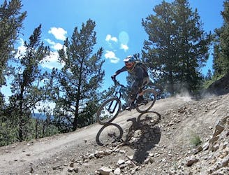
Ziggy

An entertaining connector trail along the top of the bike park.
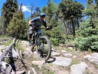
Difficult Mountain Biking
- Distance
- 1.1 km
- Ascent
- 0 m
- Descent
- 100 m
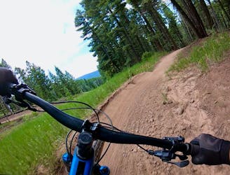
A fun blue connecting you to the other trails on the mountain
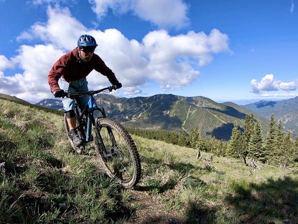
Mountain Biking Moderate

This is a popular mountain biking route which is generally considered to be moderate. It's an unknown remoteness, it features unknown exposure and is typically done in an unknown time of year. From a low point of 3.1 km to the maximum altitude of 3.2 km, the route covers 932 m, 0 vertical metres of ascent and 92 vertical metres of descent.
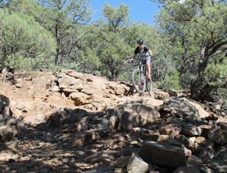
Upper Diesel is a fun blue that allows you to bypass the first section of Easy Street before the merge with Duke. It's fun and flowy with medium berms and a few tabletops, as well as an optional one foot drop.
Moderate
Mostly stable trail tread with some variability, with unavoidable obstacles 8in/20cm tall or less. Other obstacles such as rock gullies and steep sections may exist. Ideal for lower intermediate riders.
782 m away
An entertaining connector trail along the top of the bike park.
Difficult Mountain Biking
782 m away
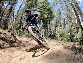
Flowy, steep, and scenic.
Difficult Mountain Biking
2.8 km away
A loop incorporating the only climbing trail at Angel Fire Resort.
Difficult Mountain Biking
4.1 km away

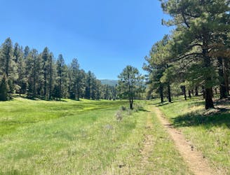
A quick pedal from Angel Fire leads to a beautiful aspen grove.
Moderate Mountain Biking
4.4 km away
An epic loop ride from downtown Angel Fire.
Difficult Mountain Biking
4.4 km away
A convenient beginner loop that's rideable directly from downtown Angel Fire.
Easy Mountain Biking
9 km away
An epic, challenging backcountry loop on little-ridden singletrack.
Difficult Mountain Biking
9.9 km away
The South Boundary Trail is New Mexico's favorite epic shuttle ride.
Severe Mountain Biking

28 routes · Mountain Biking

24 routes · Mountain Biking
9 routes · Mountain Biking

5 routes · Mountain Biking