1.7 km away
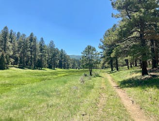
Enlightenment -> Lemonade Loop
A loop incorporating the only climbing trail at Angel Fire Resort.
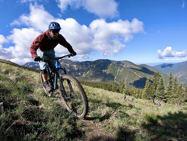
Difficult Mountain Biking
- Distance
- 7.7 km
- Ascent
- 365 m
- Descent
- 373 m
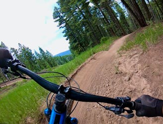
A fast flow trail with technical sections lower down
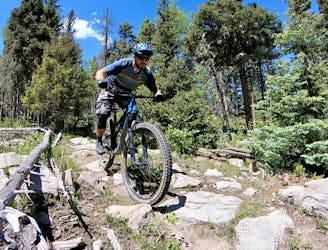
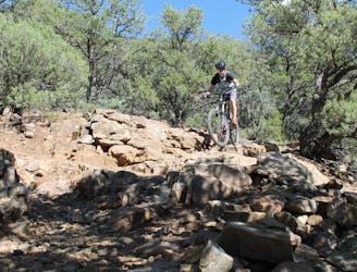
Mountain Biking Moderate

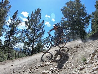
Diesel is the best trail to take to get to all other trails if you don't want to ride Easy Street from the fire road. It has large berms, small tabletops, some small drops, and a skinny. It ends midway through Duke at hub point B and begins again lower down after the Easy Street climb. The first section is a great first blue to try on the mountain, and the second not much more difficult.
Moderate
Mostly stable trail tread with some variability, with unavoidable obstacles 8in/20cm tall or less. Other obstacles such as rock gullies and steep sections may exist. Ideal for lower intermediate riders.
1.7 km away
A loop incorporating the only climbing trail at Angel Fire Resort.
Difficult Mountain Biking
1.8 km away

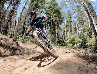
An entertaining connector trail along the top of the bike park.
Difficult Mountain Biking
1.8 km away
Flowy, steep, and scenic.
Difficult Mountain Biking
2.9 km away
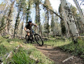
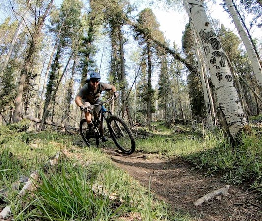
A quick pedal from Angel Fire leads to a beautiful aspen grove.
Moderate Mountain Biking
3.2 km away
An epic loop ride from downtown Angel Fire.
Difficult Mountain Biking
3.2 km away
A convenient beginner loop that's rideable directly from downtown Angel Fire.
Easy Mountain Biking
7.9 km away
An epic, challenging backcountry loop on little-ridden singletrack.
Difficult Mountain Biking
9.4 km away
The South Boundary Trail is New Mexico's favorite epic shuttle ride.
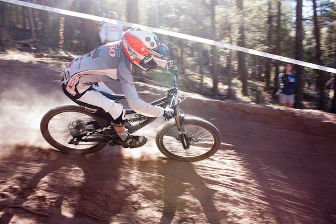
Severe Mountain Biking
28 routes · Mountain Biking

24 routes · Mountain Biking
9 routes · Mountain Biking
5 routes · Mountain Biking