20 m away
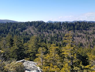
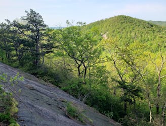
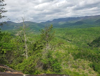
Sam's Knob and Black Balsam Knob
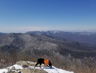
An incredible trail run across bald summits and exposed overlooks.
Difficult Trail Running
- Distance
- 22 km
- Ascent
- 661 m
- Descent
- 661 m
This figure-8 links two of Pisgah's classic overlooks, Sam Knob and Black Balsam, both part of the SB6K Challenge.
Trail Running Difficult

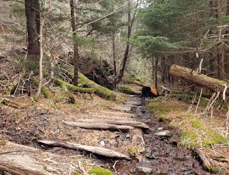
This route begins at the end of Black Balsam road at the Sam Knob Parking Area. It links both peaks as a figure-8, with the center being the trailhead. Summit both, or just one, this is one of the most stunning areas to run in Pisgah.
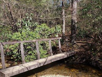
Restrooms are available at the trailhead, and two piped springs offer water along Ivestor Gap.
As mapped: Ivester Gap > Art Loeb Connector > Art Loeb > Ivestor Gap > Parking Lot > Sam Knob Trail > Flat Laurel Creek Trail
Difficult
20 m away
An incredible trail run across bald summits and exposed overlooks.
Difficult Trail Running
3.2 km away
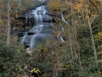
A classic trail run in a high mountain valley with two waterfalls.
Moderate Trail Running
3.5 km away
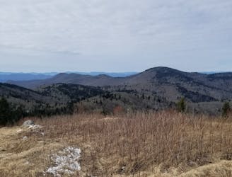
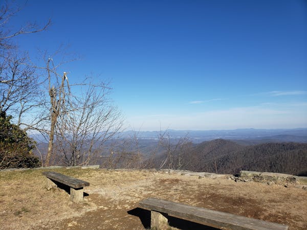
An all seasons route to one of the best views in Western North Carolina.
Severe Trail Running
6.6 km away
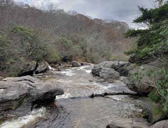
A staple trail running loop with a 150' cascading waterfall.
Moderate Trail Running
6.7 km away
A lightly-traveled trail run through an old logging area turned wilderness.
Severe Trail Running
6.9 km away
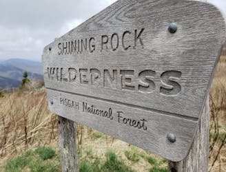
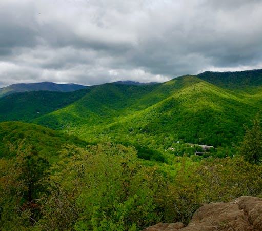
A iconic and scenic trail running route best known for its traverse through Shining Rock Wilderness.
Difficult Trail Running
7.3 km away
A challenging and incredibly-steep approach to Shining Rock.
Severe Trail Running
9.4 km away
An incredibly challenging trail run requiring the use of fixed ropes to ascend Cedar Rock Mountain.
Extreme Trail Running
9.4 km away
A classic trail run from the fish hatchery with phenomenal views from John Rock.
Moderate Trail Running
9.9 km away
A beautiful, relatively flat run through the historic Pink Beds Valley.
Easy Trail Running
12 routes · Trail Running
6 routes · Trail Running

17 routes · Hiking · Trail Running

10 routes · Trail Running