2.7 km away
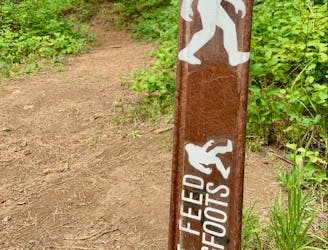
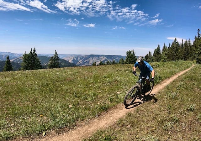
MERA: North Knob -> Dead Bull -> Snag Trail Moto Loop
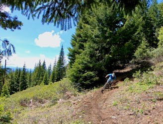
Singletrack gems on the moto legal side of MERA.
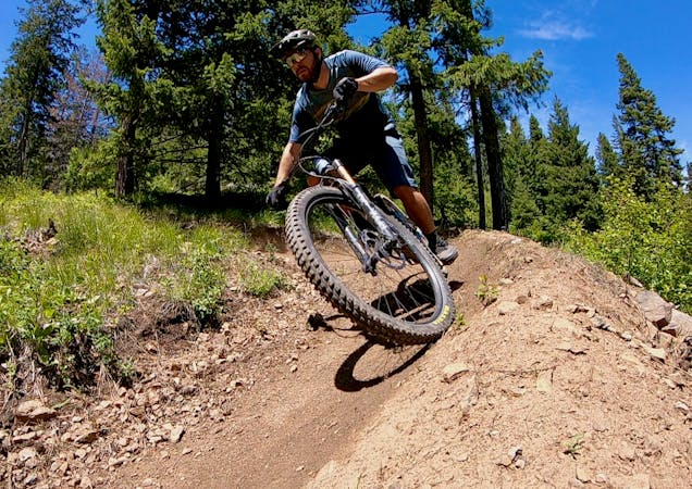
Difficult Mountain Biking
- Distance
- 16 km
- Ascent
- 499 m
- Descent
- 499 m
Gravel lariat in the national forest, near Spring Mountain.
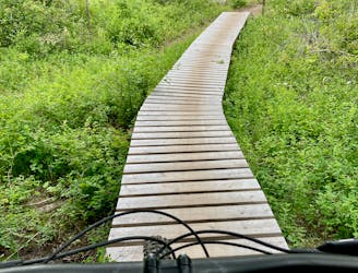
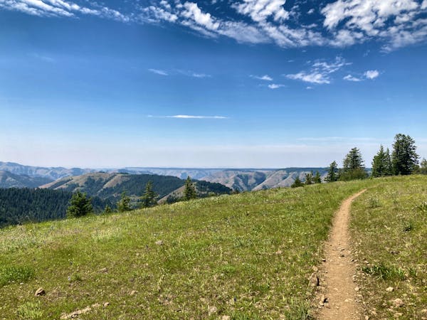
Mountain Biking Easy

This is a popular mountain biking route which is generally considered to be easy. It's an unknown remoteness, it features unknown exposure and is typically done in an unknown time of year. From a low point of 1.1 km to the maximum altitude of 1.5 km, the route covers 26 km, 774 vertical metres of ascent and 774 vertical metres of descent.
Gravel lariat in the national forest, near Spring Mountain.
Easy
Mostly smooth and non-technical singletrack with unavoidable obstacles 2in/5cm tall or less. Avoidable obstacles may be present. Ideal for beginner riders.
2.7 km away
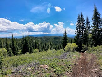
Singletrack gems on the moto legal side of MERA.
Difficult Mountain Biking
2.7 km away
A ripping loop on the moto side of the mountain.
Difficult Mountain Biking
5.3 km away
The eponymous trail connecting the larger MERA trail system together.
Moderate Mountain Biking
6.1 km away

One of the best routes to maximize the descending at MERA.
Difficult Mountain Biking
6.1 km away
Ride from the low point to the high point—and back!—of the MERA trail system.
Difficult Mountain Biking
6.1 km away
A MERA loop variant with more climbing and flow-filled descending.
Moderate Mountain Biking
6.1 km away
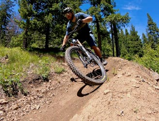
The first downhill mountain biking-only trail at MERA!
Severe Mountain Biking
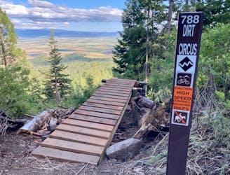
11 routes · Mountain Biking
18 routes · Mountain Biking · Gravel Biking · Hiking · Stand Up Paddle
5 routes · Mountain Biking

20 routes · Mountain Biking

15 routes · Mountain Biking