430 m away
Little Flat Fire Tower
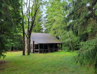
An easy hike on a gravel forest service road to one of Rothrock's four maintained fire towers.
Easy Hiking
- Distance
- 1.6 km
- Ascent
- 59 m
- Descent
- 59 m
A classic overlook hike in the Shingletown Gap area of Rothrock.
Hiking Difficult

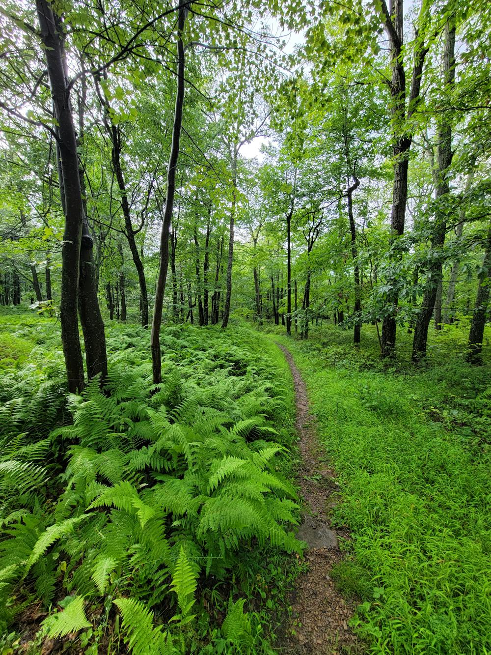
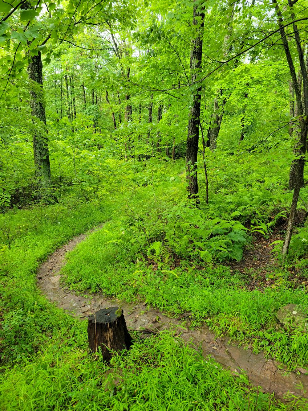
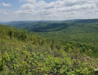
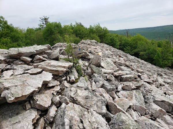
Part of the Shingletown Gap trail system, Bald Knob is home to one of the best vistas in Rothrock State Forest. Seas of deep green ferns line the trail during the warmer months, while winter offers even more impressive views once the trees have dropped their leaves. Several adjoining trails offer options for longer or shorter loops, though a simple out-and-back to the view is another popular choice. Wildflowers and blueberries make summer a popular time to visit, though the lower elevation view offers little break from the heat.
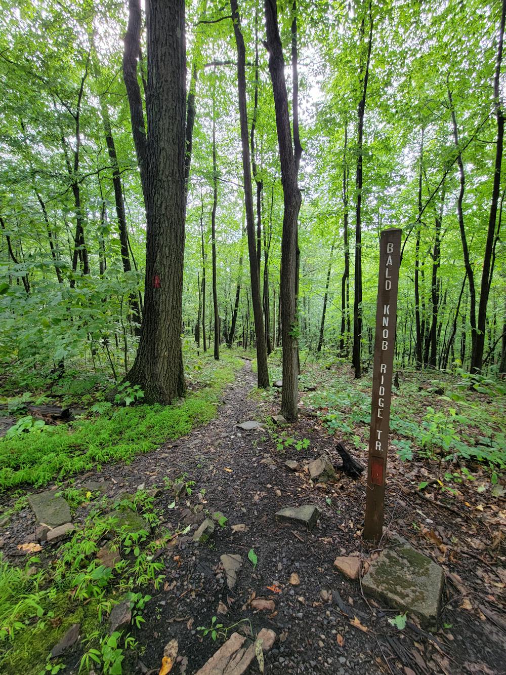
Seen here, you'll begin your hike on Laurel Run Road in Rothrock State Forest. Plenty of parking is available on Laurel Run Road and an easy road walk helps to form a loop. Hiked counter-clockwise, the gravel road can be avoided by using the Greenshoot Trail, which leads back to the trailhead. To shave some time off the drive, the Lower Trail and Bald Knob Ridge Trail can also be accessed from PA-45 near State College, though it would add some mileage to the loop.
In contrast to some of the other nearby hikes, solitude is almost guaranteed in Shingletown Gap. Rocks mix with sandy soil, and parts of the hike are steep, making it one of the more challenging day hikes. Other nearby hikes worth adding to the list include a walk through Bear Meadows and the historic Little Flat Fire Tower, both a short drive from the trailhead.
Difficult
Hiking trails where obstacles such as rocks or roots are prevalent. Some obstacles can require care to step over or around. At times, the trail can be worn and eroded. The grade of the trail is generally quite steep, and can often lead to strenuous hiking.

The trail contains some obstacles such as outcroppings and rock which could cause injury.
Away from help but easily accessed.
430 m away
An easy hike on a gravel forest service road to one of Rothrock's four maintained fire towers.
Easy Hiking
2.1 km away
A renowned hiking trail in Rothrock with several picturesque views from atop the ridge.
Difficult Hiking
2.1 km away
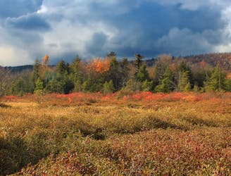
An easy hiking loop around one of the largest freshwater bogs in the eastern US.
Moderate Hiking
6.7 km away
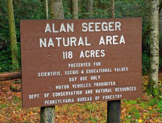
A short walk through an old-growth hemlock grove.
Easy Hiking
7.2 km away
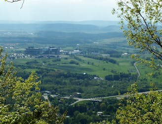
A must-do day hike near State College with 6 beautiful overlooks.
Moderate Hiking
11 routes · Hiking