12 m away
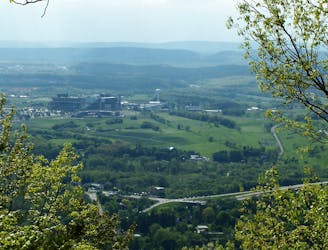
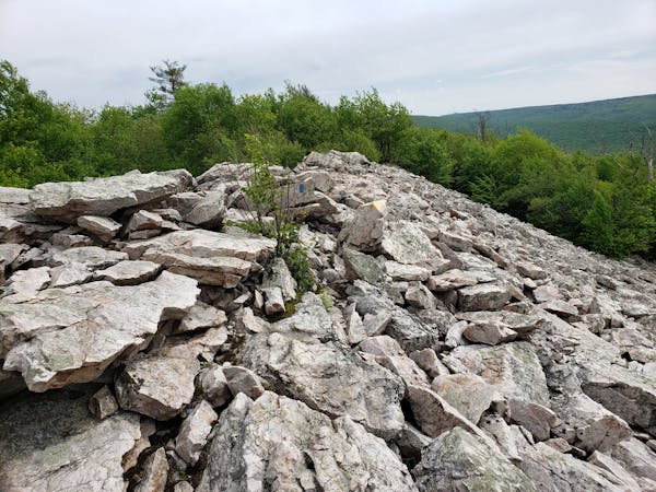
Tussey Mountain Trail
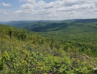
A renowned hiking trail in Rothrock with several picturesque views from atop the ridge.
Difficult Hiking
- Distance
- 13 km
- Ascent
- 230 m
- Descent
- 230 m
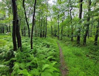
An easy hiking loop around one of the largest freshwater bogs in the eastern US.
Hiking Moderate

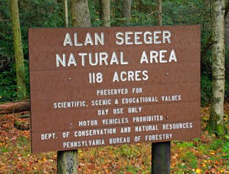
This is by far one of the best hikes in Rothrock State Forest. Less than 30 minutes from downtown State College, this is a must-do for locals and travelers alike. The area, designated as a National Natural Landmark in 1965, provides a unique ecosystem atypical of the region.
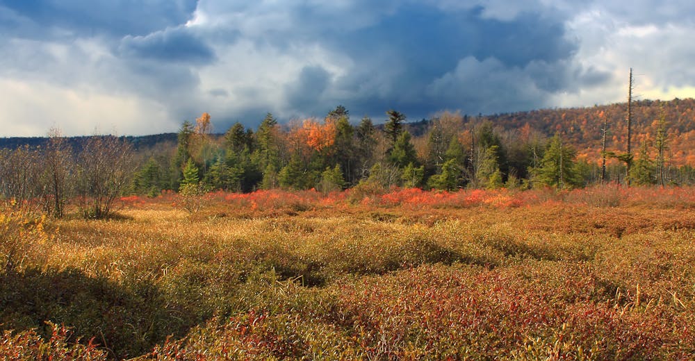
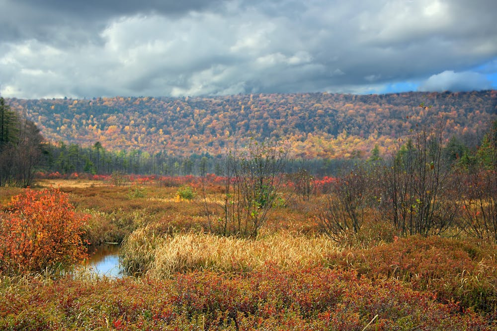
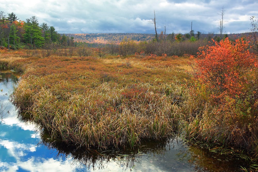
According to Wikipedia, "The bog, which covers 320 acres (130 ha), has been forming since the end of the last glacial period 10,000 years ago and is surrounded by an old-growth forest of boreal species typically found much farther north, such as black spruce, balsam fir, eastern hemlock, and yellow birch."
This loop can be done in either direction beginning at one of two trailheads on Bear Meadows Road. One lies at the Tussey Mountain trailhead and the other where John Wert Path begins. The route requires a short walk on an old logging road, and the Jean Aron Path parallels Bear Meadows Road between the trailheads.
Accessible year-round, the summer and fall months are some of the most visited. Melting snow and frequent rain can make hiking in the winter and spring slightly more difficult. If hiking in the summer, look for the wild blueberries lining the path and be mindful of the black bear that reside around the meadow.
Sources: https://en.wikipedia.org/wiki/BearMeadowsNaturalArea https://www.pahikes.com/bear-meadows-natural-area
Moderate
Hiking along trails with some uneven terrain and small hills. Small rocks and roots may be present.

The trail contains some obstacles such as outcroppings and rock which could cause injury.
Away from help but easily accessed.
12 m away
A renowned hiking trail in Rothrock with several picturesque views from atop the ridge.
Difficult Hiking
1.7 km away
An easy hike on a gravel forest service road to one of Rothrock's four maintained fire towers.
Easy Hiking
2.1 km away
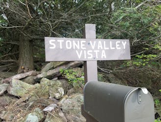
A classic overlook hike in the Shingletown Gap area of Rothrock.
Difficult Hiking
4.9 km away
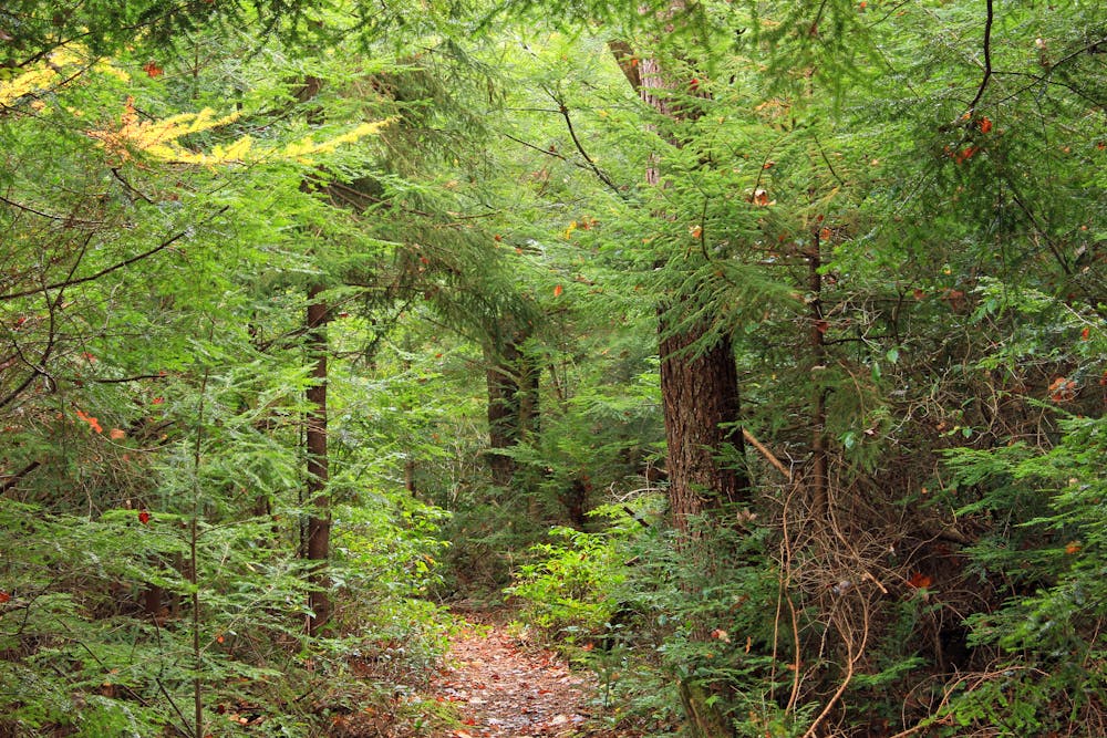
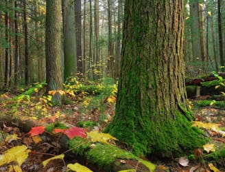
A short walk through an old-growth hemlock grove.
Easy Hiking
9.2 km away
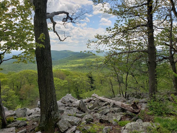
A must-do day hike near State College with 6 beautiful overlooks.
Moderate Hiking
9.8 km away
A stunning viewpoint towering over a historic iron making center in Greenwood Furnace SP.
Moderate Hiking
9.9 km away
A link from the Standing Stone Trail to the Mid-State Trail.
Difficult Hiking
3 routes · Hiking
11 routes · Hiking