7.2 km away
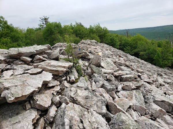
Bald Knob Ridge
A classic overlook hike in the Shingletown Gap area of Rothrock.
Difficult Hiking
- Distance
- 4.6 km
- Ascent
- 206 m
- Descent
- 206 m
A must-do day hike near State College with 6 beautiful overlooks.
Hiking Moderate

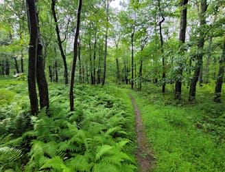
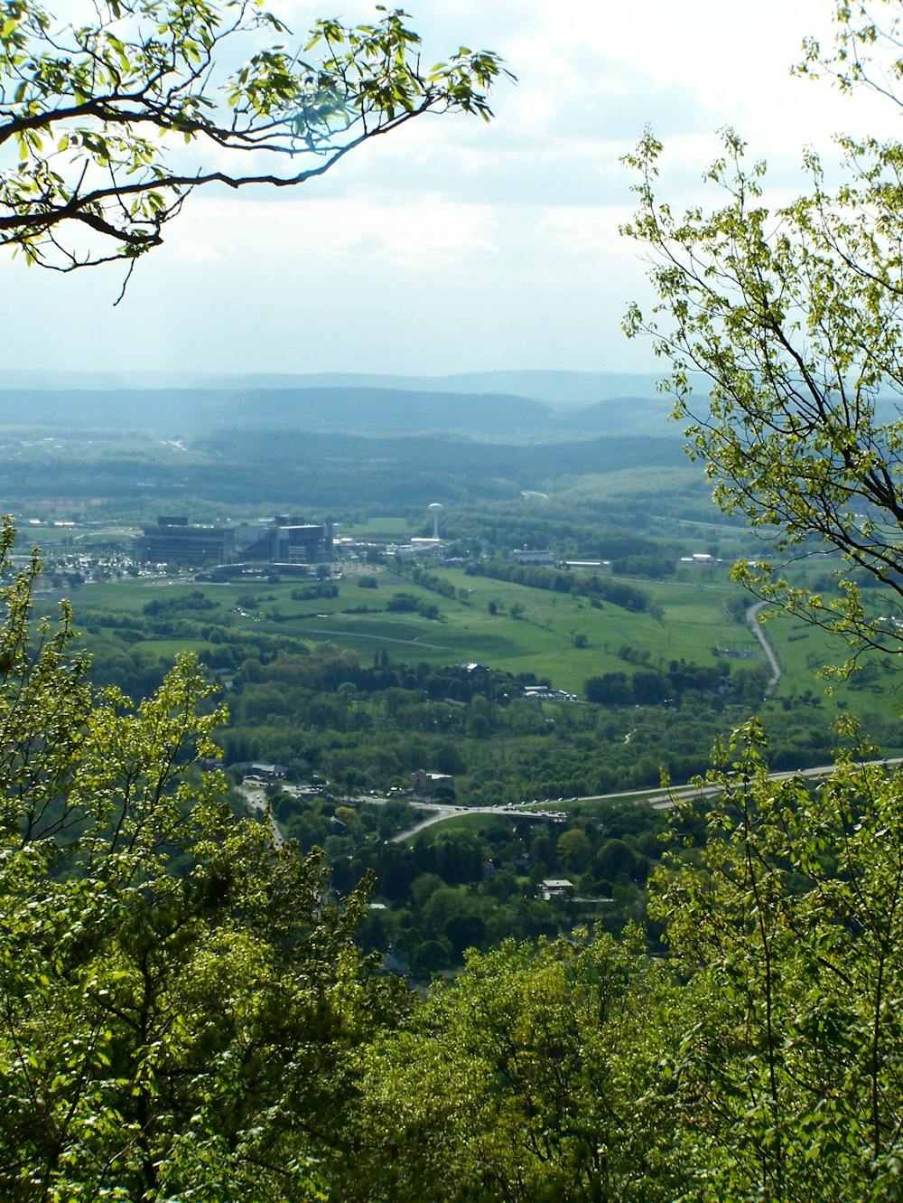
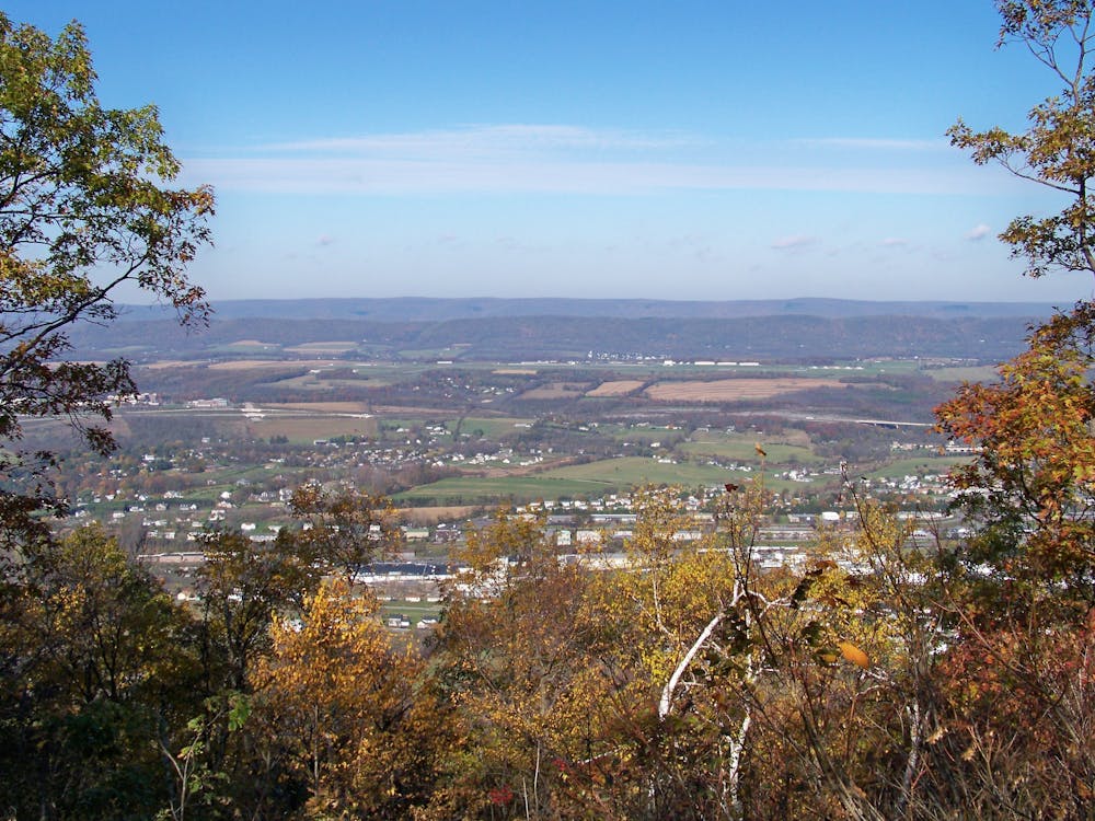
Towering over State College and offering views towards Penn State, Mount Nittany is one of the best spots near town to go for a relaxing hike. Just shy of 5-miles, the blue-blazed loop (seen here) offers six defined viewpoints looking west towards campus, and south towards Tussey Mountain. Most would consider it moderate in difficulty, with a climb that offers healthy challenge and "diverse assortment of trees, flowers, and grown cover that is inspiring, and, in some cases, even tasty," the trail brochure notes.
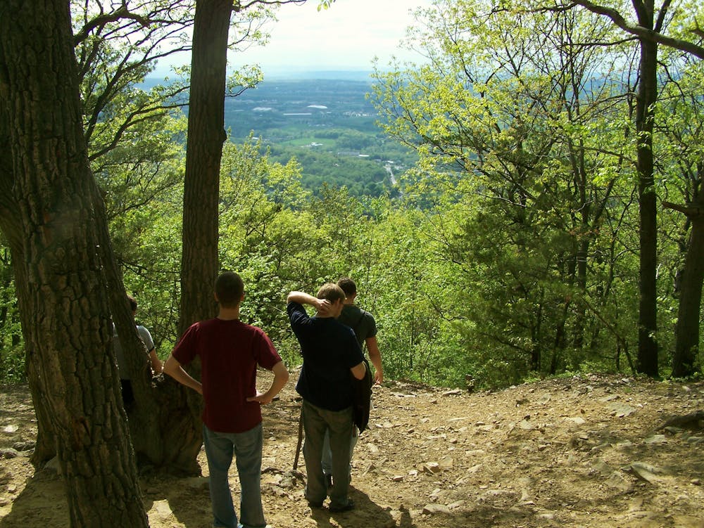
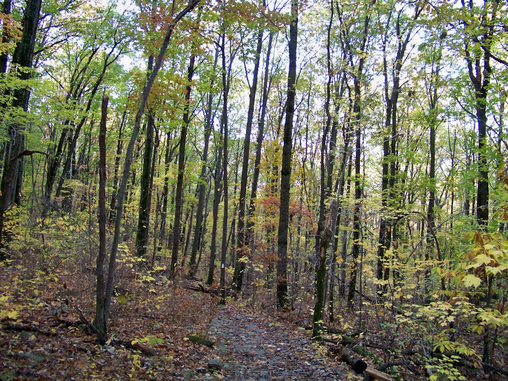
Compared to many of the trails in nearby Rothrock State Forest, Mount Nittany is only open to foot traffic such as hiking or running. Mountain bikes and horses are prohibited, making it one of the more desirable places to enjoy a hike near town. Wildlife, especially deer, can often be sighted along the mountainside, and the trails can be enjoyed year-round.
The trailhead can be found on Google or Apple Maps, and a kiosk with printed maps is there if you'd like a paper copy. Every trail is blazed, and the Mount Nittany Conservancy installed signs at major intersections along the way. You can also download or print a high-resolution version of the map here.
Moderate
Hiking along trails with some uneven terrain and small hills. Small rocks and roots may be present.

The trail contains some obstacles such as outcroppings and rock which could cause injury.
Away from help but easily accessed.
7.2 km away
A classic overlook hike in the Shingletown Gap area of Rothrock.
Difficult Hiking
7.5 km away
An easy hike on a gravel forest service road to one of Rothrock's four maintained fire towers.
Easy Hiking
9.2 km away
A renowned hiking trail in Rothrock with several picturesque views from atop the ridge.
Difficult Hiking
9.2 km away
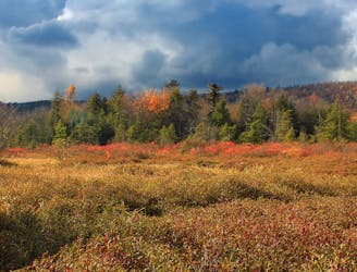
An easy hiking loop around one of the largest freshwater bogs in the eastern US.
Moderate Hiking
11 routes · Hiking