12 m away
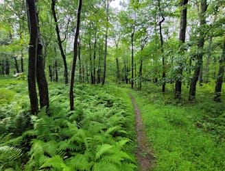
Bear Meadows Loop
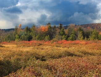
An easy hiking loop around one of the largest freshwater bogs in the eastern US.
Moderate Hiking
- Distance
- 5.9 km
- Ascent
- 49 m
- Descent
- 49 m
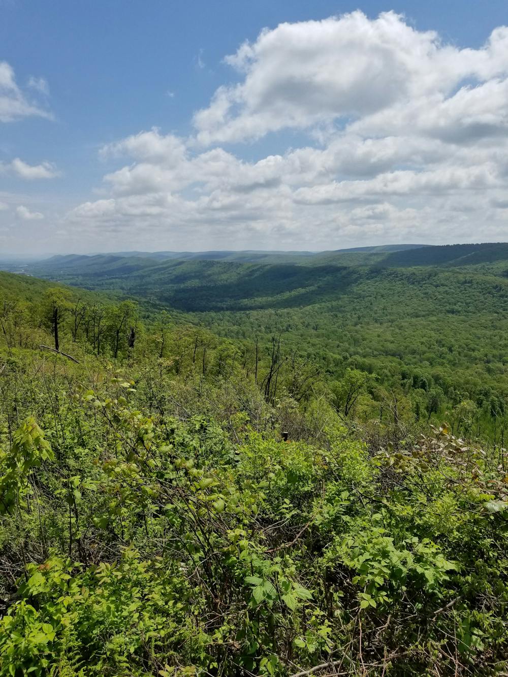
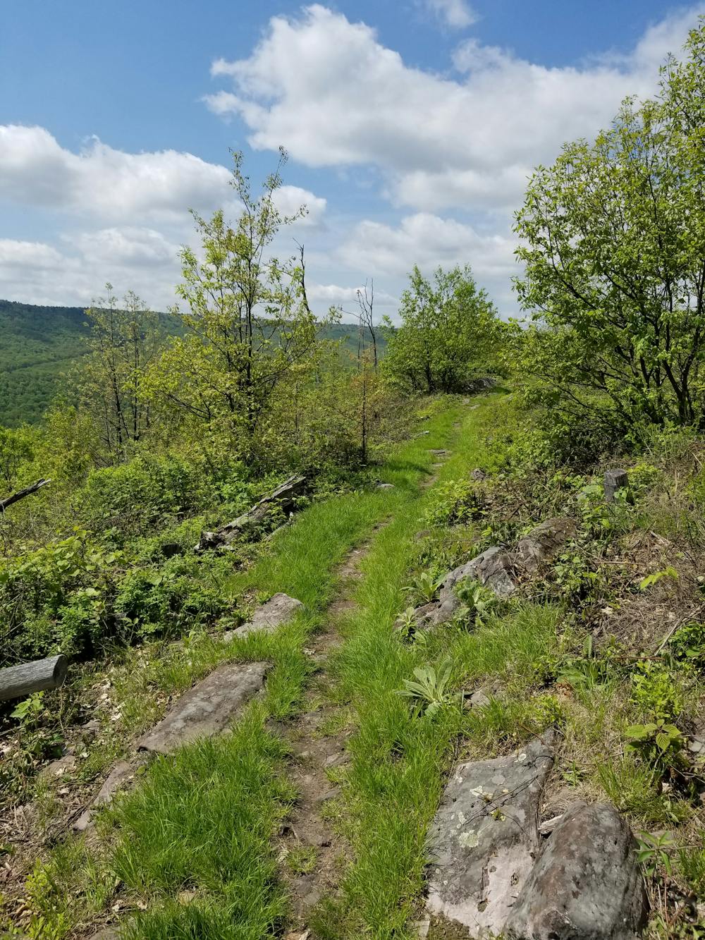
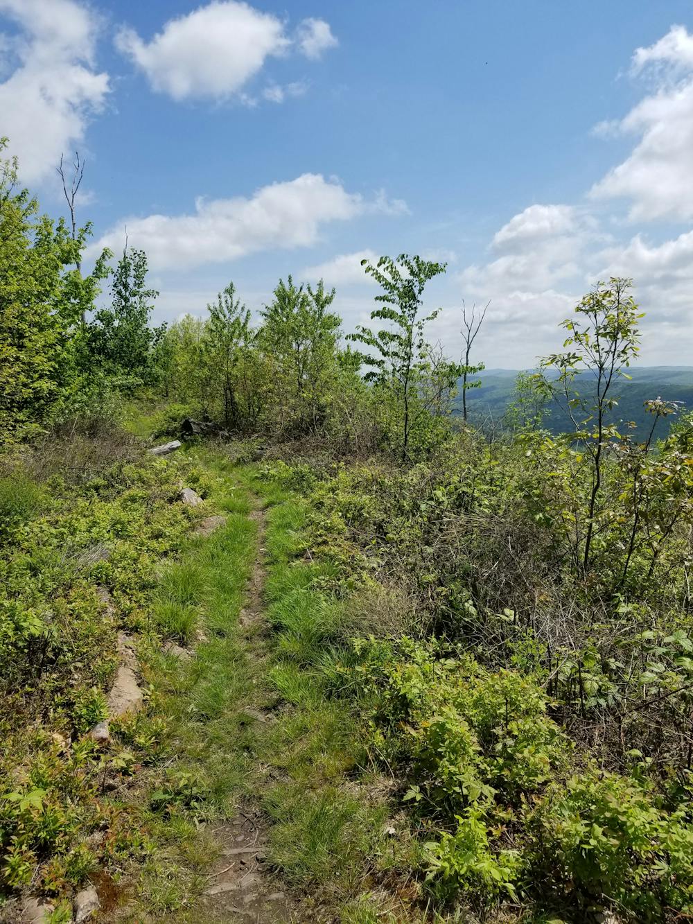
A renowned hiking trail in Rothrock with several picturesque views from atop the ridge.
Hiking Difficult

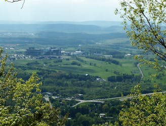
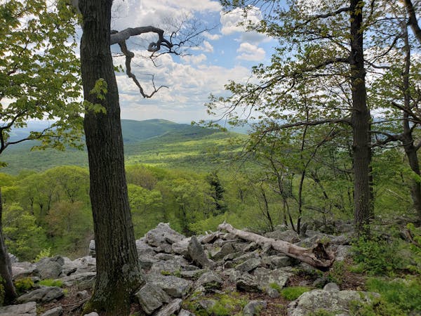
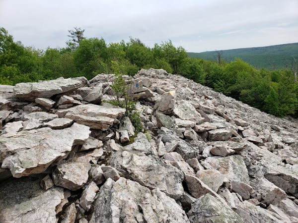
The Tussey Mountain Trail is arguably the most iconic and recognized trail in Rothrock State Forest. While there are endless ways to form loops, an out-and-back is the most reliable and preferred method for day hikers. Devastated by a wildfire in 2006, the ridge now boasts some of the best views in the region. Mountain bikers frequent this ridge as a part of a larger loop and trail runners often incorporate it into their runs.
Kettle Trail and Shingle Path are two alternative ways to access some quick views. Lonberger Path can also be taken from the Galbriath Parking Lot, though a long stretch of road makes this a lesser popular option for hikers to form a loop.
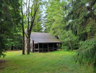
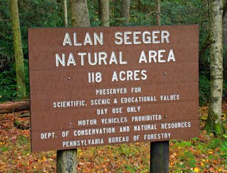
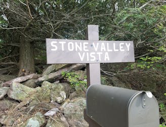
Locals refer to the trailhead as the "Upper Bear Meadows" lot. The Bear Meadows Loop can also be accessed from this trailhead and is sometimes paired with Tussey to experience the best of the Rothrock in one day. While the area is quite remote, there are no notable overnight camping opportunities if you intend to make an overnight trip in the area.
After a winding ascent to the ridge, the Tussey Mountain trail begins with a rocky traverse across the ridge. The best views lie after the halfway mark, where the remnants of the wildfire are still present. Views to the southeast are abundant and occasional views towards Nittany Mountain and State College can be seen through the regrowth on the northwest portion of the ridge.
Difficult
Hiking trails where obstacles such as rocks or roots are prevalent. Some obstacles can require care to step over or around. At times, the trail can be worn and eroded. The grade of the trail is generally quite steep, and can often lead to strenuous hiking.

The trail contains some obstacles such as outcroppings and rock which could cause injury.
Away from help but easily accessed.
12 m away
An easy hiking loop around one of the largest freshwater bogs in the eastern US.
Moderate Hiking
1.7 km away
An easy hike on a gravel forest service road to one of Rothrock's four maintained fire towers.
Easy Hiking
2.1 km away
A classic overlook hike in the Shingletown Gap area of Rothrock.
Difficult Hiking
4.9 km away
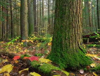
A short walk through an old-growth hemlock grove.
Easy Hiking
9.2 km away
A must-do day hike near State College with 6 beautiful overlooks.
Moderate Hiking
9.9 km away
A stunning viewpoint towering over a historic iron making center in Greenwood Furnace SP.
Moderate Hiking
9.9 km away
A link from the Standing Stone Trail to the Mid-State Trail.
Difficult Hiking
3 routes · Hiking
11 routes · Hiking