430 m away
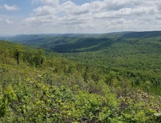
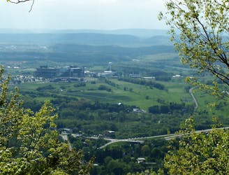
Bald Knob Ridge
A classic overlook hike in the Shingletown Gap area of Rothrock.
Difficult Hiking
- Distance
- 4.6 km
- Ascent
- 206 m
- Descent
- 206 m
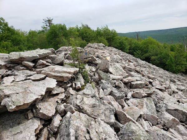
An easy hike on a gravel forest service road to one of Rothrock's four maintained fire towers.
Hiking Easy

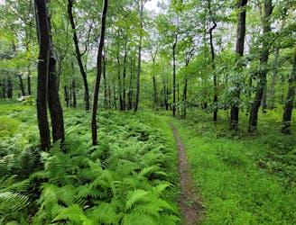
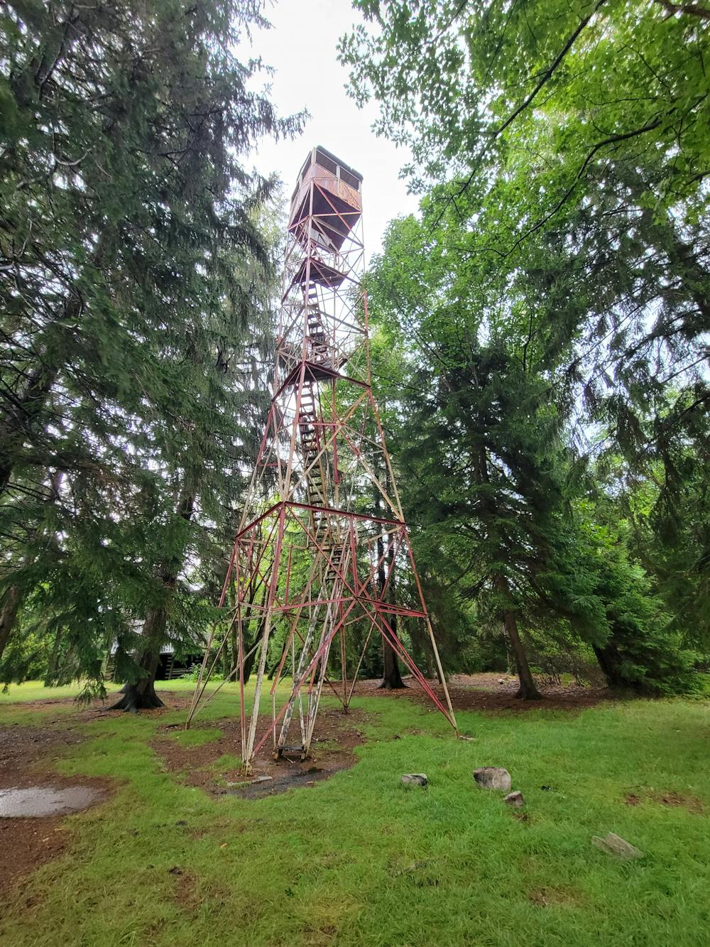
Hiking to Little Flat Fire Tower is one of the best easy hikes in Rothrock. A half-mile walk on a gated forest service road leads to one of the 4 maintained fire towers in the area, and though the steel structure is now closed to the public, it played an important role in fire prevention into the 1950s. A dense stand of native red spruce and hemlock now cover the mountaintop, and the forest floor is blanketed with their fallen needles. Unique fungi and other flora can be found under the canopy and Pennsylvania's Mid-State Trail crosses just south of the tower - opening up countless options for longer hikes.
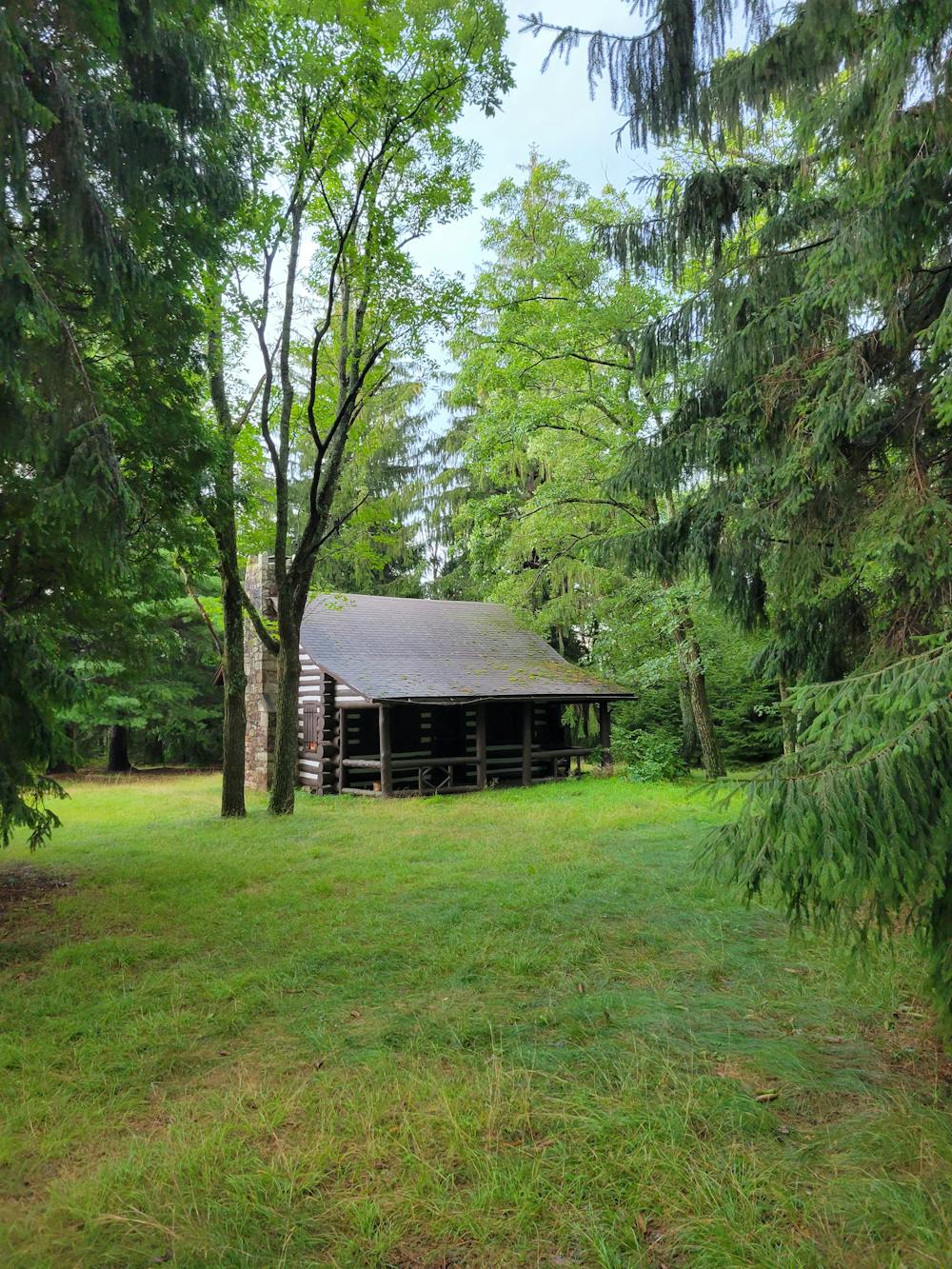
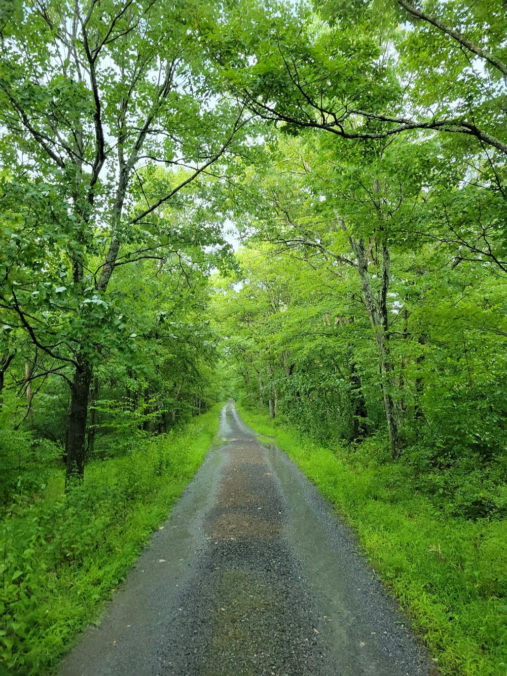
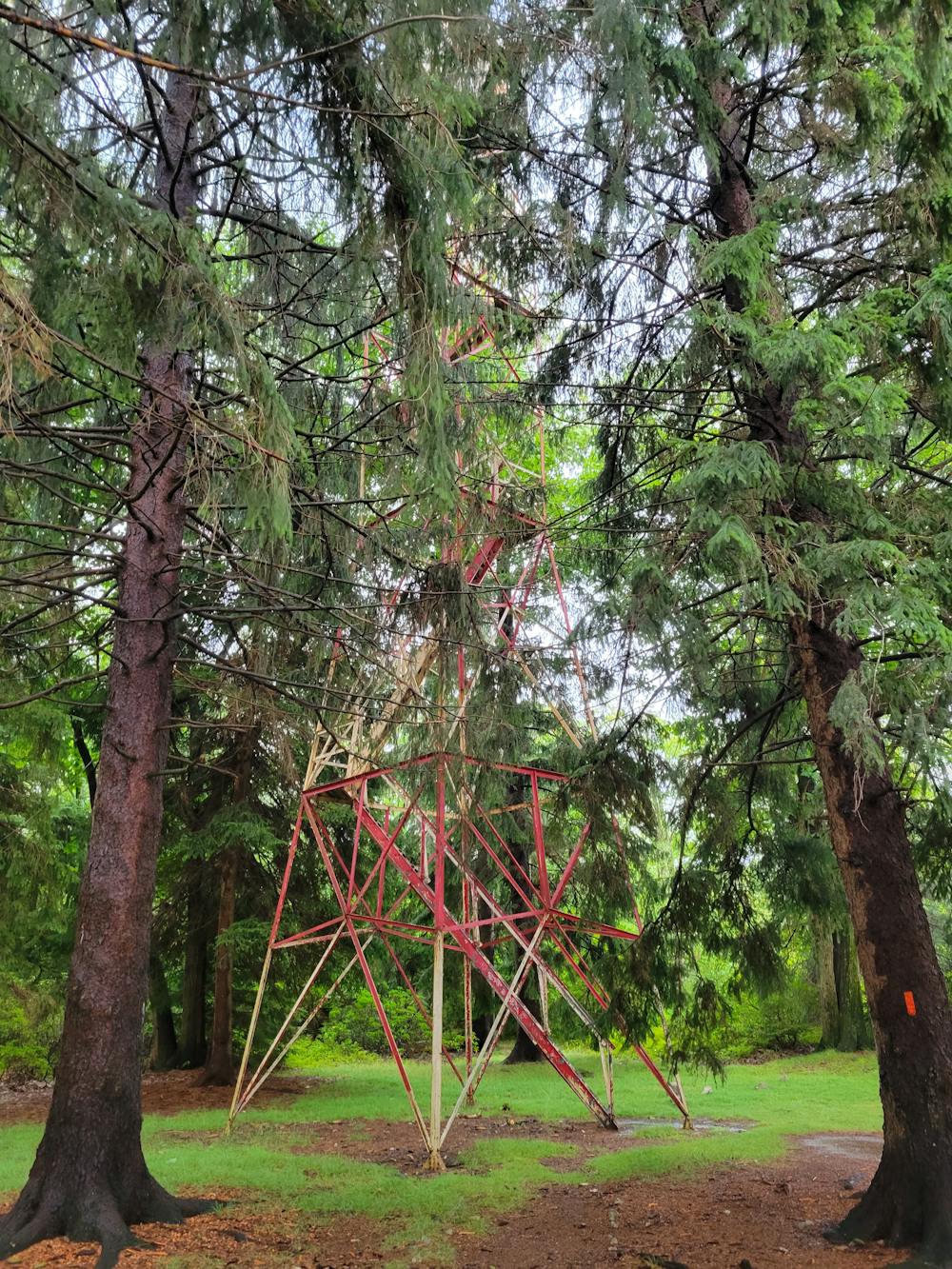
To reach the trailhead, head to the Tussey Mountain Ski Area and continue up the gravel road into the forest. Keep right at the split, then Bear Meadows Rd turns into Laurel Run Rd. After the hairpin turn, look to your left for an upcoming gravel road listed as Little Flat Tower Rd. Where the road is gated, a small loop circles back and offers parking for several vehicles - though it rarely fills. A trailer or larger RV could make it up the road, but is not advised. Neither restrooms nor water are available, so plan ahead.
As an alternative to this easy hike, you could park at the bottom of Lonberger Path or at the Galbraith Lot, then follow Three Bridges Trail to Spruce Gap Trail. Though significantly steeper, this is a great option for anyone looking for a more challenging trek to see the historic tower.
Easy
Walking along a well-kept trail that’s mostly flat. No obstacles are present.

The path is on completely flat land and potential injury is limited to falling over.

Away from help but easily accessed.
430 m away
A classic overlook hike in the Shingletown Gap area of Rothrock.
Difficult Hiking
1.7 km away
A renowned hiking trail in Rothrock with several picturesque views from atop the ridge.
Difficult Hiking
1.7 km away
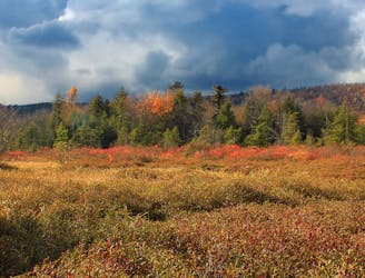
An easy hiking loop around one of the largest freshwater bogs in the eastern US.
Moderate Hiking
6.2 km away
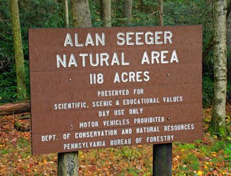
A short walk through an old-growth hemlock grove.
Easy Hiking
7.5 km away
A must-do day hike near State College with 6 beautiful overlooks.
Moderate Hiking
11 routes · Hiking