5.4 km away
Little Flat -> MST -> Shingletown Gap Loop
A great long run with steep climbs linking the Mid-State Trail, Shingletown Gap, and the Little Flat Fire Tower.
Difficult Trail Running
- Distance
- 16 km
- Ascent
- 603 m
- Descent
- 603 m
A sub-7-mile loop perfect for exploring Shingletown Gap.
Trail Running Difficult

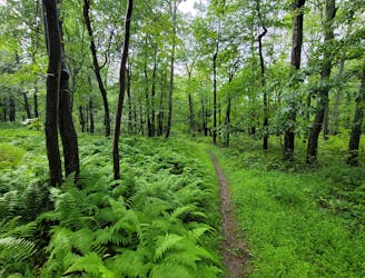
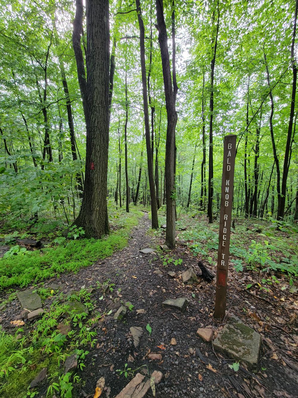
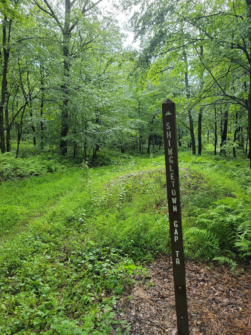
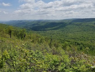
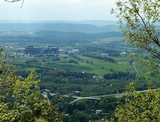
Considered one of the quieter corners of Rothrock, Shingletown Gap is a local favorite and a convenient spot to enjoy a rail run near town. Several intersecting trails - some easier, some harder - offer plenty of options to shorten or lengthen your run, though it may take a few visits before you can feel comfortable without a map. The views from Bald Knob Ridge are absolutely stunning, and the solitude found on the Lower Trail draws runners back time and time again.
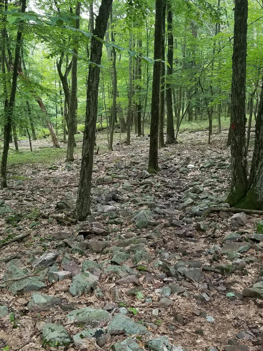
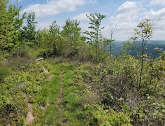
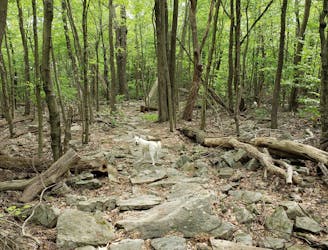
Named after an early conservationist, Rothrock is blanketed with spring and summer wildflowers, plus plenty of ferns. You may even find edible berries along the way. Parts of the run are on hard-packed dirt, though most of the loop is rocky or sandy and typical of most trails in Shingletown Gap.
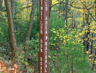
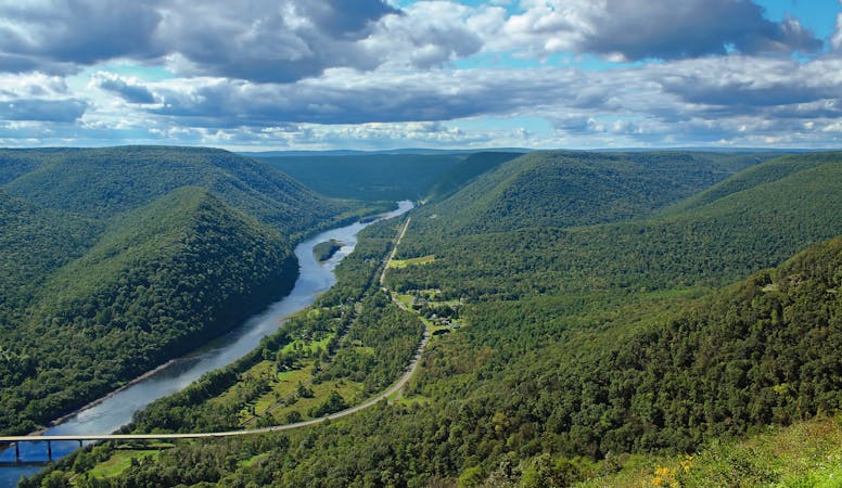
To run this loop, you can park at Shingletown Gap (seen here), or from the Bald Knob Ridge trailhead on Laurel Run Road. Neither restrooms nor water are available at either, though Galbraith Gap near the Tussey Ski area has vault toilets. A small stream parallels the Lower Trail, offering the option to refill if you bring a water filter or treatment tabs along.
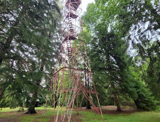
For a slightly longer tour linking Galbraith Gap, Little Flat Fire Tower, and Shingletown Gap, check out this route instead. Both runs are equally enjoyable, though your running style may lead you to like one over the other.
Difficult

The trail contains some obstacles such as outcroppings and rock which could cause injury.
Away from help but easily accessed.
5.4 km away
A great long run with steep climbs linking the Mid-State Trail, Shingletown Gap, and the Little Flat Fire Tower.
Difficult Trail Running
5.4 km away
A local-favorite that traverses a ridgeline loaded with epic views.
Difficult Trail Running
5.4 km away
A spin on the classic Tussey Mountain Loop that includes John Wert Path and Bear Meadows, one of the largest freshwater bogs in the east coast.
Difficult Trail Running
5.6 km away
An old-school 25k trail race near State College over technical terrain laden with rocks.
Difficult Trail Running
5.8 km away
An easier trail run around one of the largest freshwater bogs in the eastern US.
Moderate Trail Running
6.4 km away
A comprehensive 5-mile tour of Mount Nittany with 6 prominent overlooks.
Moderate Trail Running
6.9 km away
A quiet backcountry run in Rothrock that originates at a large campsite on Bear Meadows Road.
Difficult Trail Running
7.6 km away
A classic trail running route near town with several vistas along Pine Grove Mountain.
Moderate Trail Running
10 routes · Trail Running
6 routes · Trail Running