This route begins at the Galbraith Gap Parking Area, just behind the Tussey Mountain Ski Area. Vault toilets area available and a fresh mountain stream runs adjacent to the parking lot. There is no potable water anywhere along the route, though filtering from one of the seasonal springs is always an option.
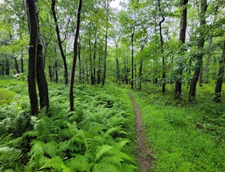
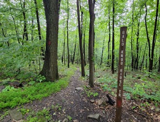
This loop is best run clockwise as it begins with a short stretch of paved road before taking a left continues up Corner Road. Before merging onto singletrack, you will get your feet wet where a stream flows over the road. Ahead, Dylan's Path provides a steady, well built path as it heads towards to Tussey Mountain Trail. A beer tap, denoted on most maps, is the start of the ridge.
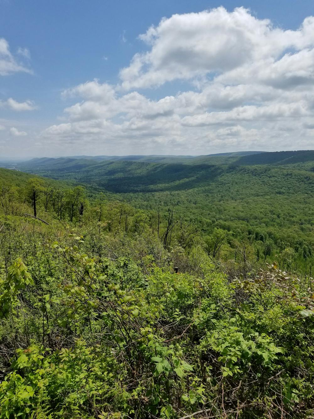
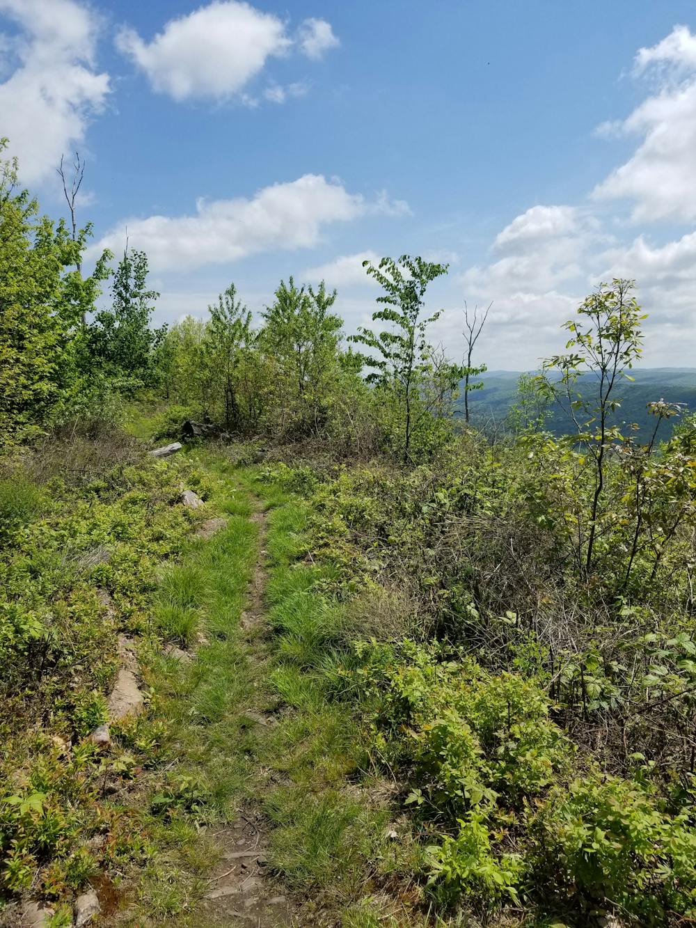
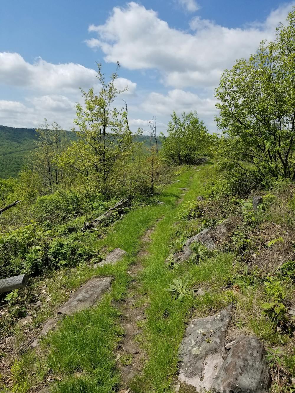
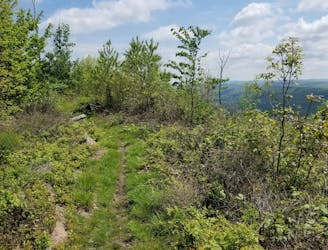
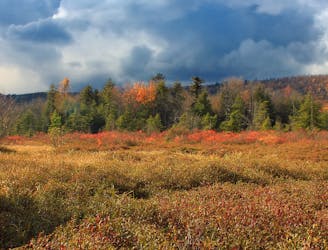
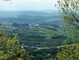
Turning right at the tap, views quickly begin to present themselves, and at the clearing, a small rudimentary bench makes for a great place to catch your breath. The best views lie ahead near the halfway mark, where the remnants of the wildfire are still present. Views to the southeast are abundant and occasional views towards Nittany Mountain and State College can also be seen through the regrowth on the northwest portion of the ridge.
The Tussey Mountain Trail ends with a gradual descent to Bear Meadows Road. Follow Lonberger Path back to the trailhead. The return trip is mostly downhill and offers an excellent sampling of local flora and fauna, as well as a hefty dose of rocks. Know that some low areas may be wet or muddy after a recent rain.