1 m away
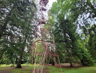
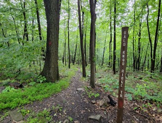
Little Flat -> MST -> Shingletown Gap Loop
A great long run with steep climbs linking the Mid-State Trail, Shingletown Gap, and the Little Flat Fire Tower.
Difficult Trail Running
- Distance
- 16 km
- Ascent
- 603 m
- Descent
- 603 m
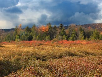
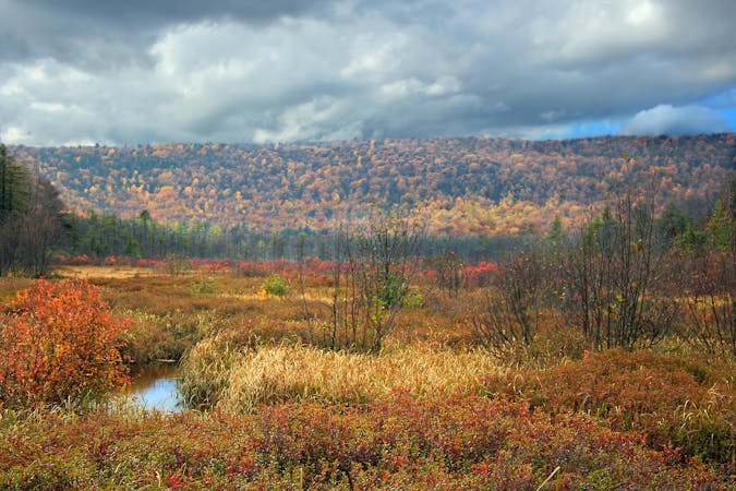
A spin on the classic Tussey Mountain Loop that includes John Wert Path and Bear Meadows, one of the largest freshwater bogs in the east coast.
Trail Running Difficult

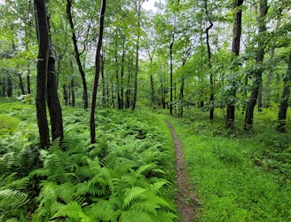
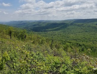
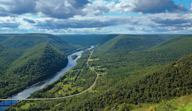
This long run through Rothrock is one of the best ways to explore the Tussey Mountain, Bear Meadows, and part of the Mid-State Trail in one standing. You'll enjoy beautiful views, plenty of wildflowers and fungi, and a large bog with a diverse selection of wildlife. The distance and elevation alone would rank it moderately challenging, but the rocky singletrack makes running more difficult - so it's rated as such. After all, Pennsylvania has earned the nickname Rocksylvania by those hiking the 2,200-mile long Appalachian Trail.
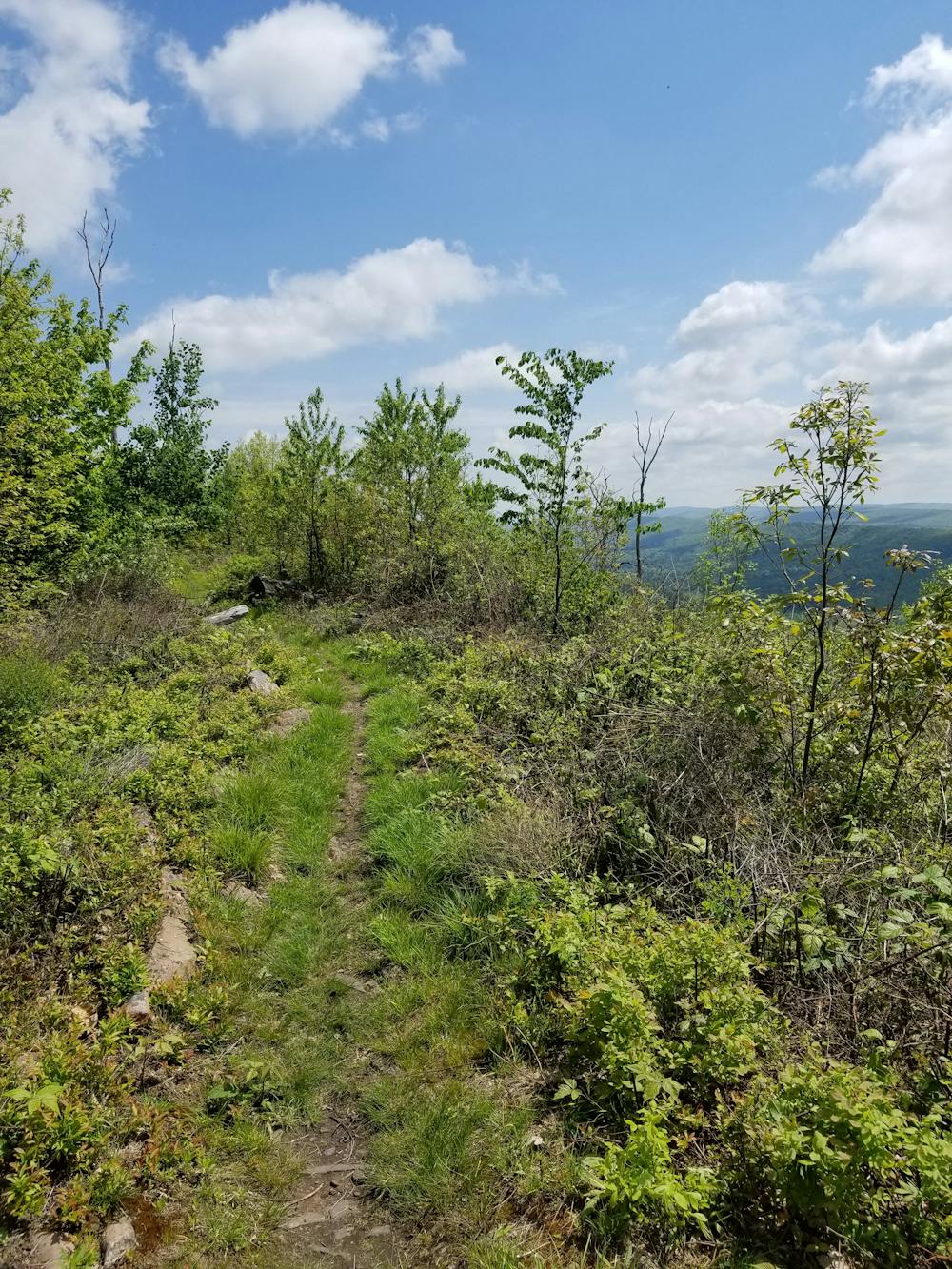
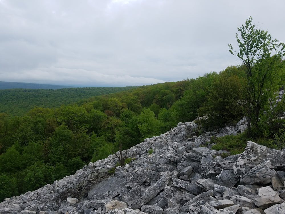
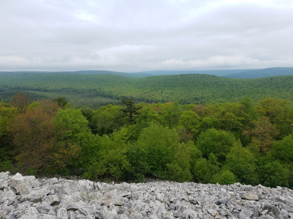
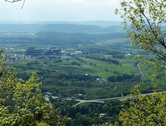
Best run counter-clockwise, you'll begin with a steady climb up Dylan's Path to Tussey Mountain Trail. Devastated by a wildfire in 2006, the ridge now offers several long views, making it one of the more visited trails in the forest. After a steady descent and climb along Shingle Path, you'll run along the infamously rocky John Wert Trail as it leads into one of the largest freshwater bogs in the east coast, Bear Meadows. The final leg of the run returns along the Mid-State Trail, known for its epic mountaintop views and notoriously rocky paths along the ridge.
This loop begins at the Galbraith Gap near the Tussey Mountain Ski Area. A large trailhead can host upwards of 20 cars, and vault toilets are available. Overnight camping is also available to further into the forest if you're looking for somewhere to stay. Water is available several times through the run if you have a filter or treatment system, and spring or fall offer the most favorable weather.
Difficult

Some trail sections have exposed ledges or steep ascents/descents where falling could cause serious injury.
Little chance of being seen or helped in case of an accident.
1 m away
A great long run with steep climbs linking the Mid-State Trail, Shingletown Gap, and the Little Flat Fire Tower.
Difficult Trail Running
1 m away
A local-favorite that traverses a ridgeline loaded with epic views.
Difficult Trail Running
622 m away
An old-school 25k trail race near State College over technical terrain laden with rocks.
Difficult Trail Running
2.8 km away
An easier trail run around one of the largest freshwater bogs in the eastern US.
Moderate Trail Running
5.3 km away
A quiet backcountry run in Rothrock that originates at a large campsite on Bear Meadows Road.
Difficult Trail Running
5.4 km away
A sub-7-mile loop perfect for exploring Shingletown Gap.
Difficult Trail Running
6.8 km away
A comprehensive 5-mile tour of Mount Nittany with 6 prominent overlooks.
Moderate Trail Running
10 routes · Trail Running
6 routes · Trail Running