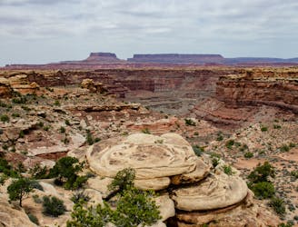
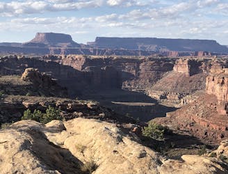
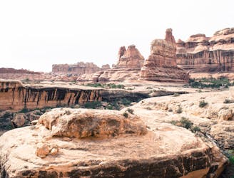
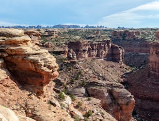
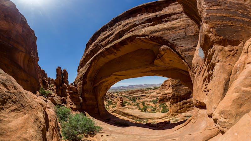
Getting there requires a hike across open desert, with no particularly tough terrain, but with difficulty coming from the distance and sun exposure. This hike is best in cool weather of spring, fall, or winter. No water is available so hikers must pack plenty. The trail is perhaps most noteworthy for geology on display. It’s best for those who appreciate features like faults, joints, horsts, and grabens. Unique examples can be found at every turn, plus several different rock layers for identification. Even the untrained eye can appreciate the wild landscape, however, and imagination can fill in the blanks as to how it was formed.
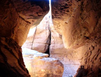
The hike begins by dropping sharply down into, then back out of, Big Spring Canyon. This is mostly on good trail, but at one point climbs a metal ladder. After that, a stretch on level, dusty ground leads to a couple lesser canyons that must be crossed. Again, most of the down-and-up is on sandy footpath or sloping slickrock, but hand-and-foot scrambling is required in a few of the steeper spots.
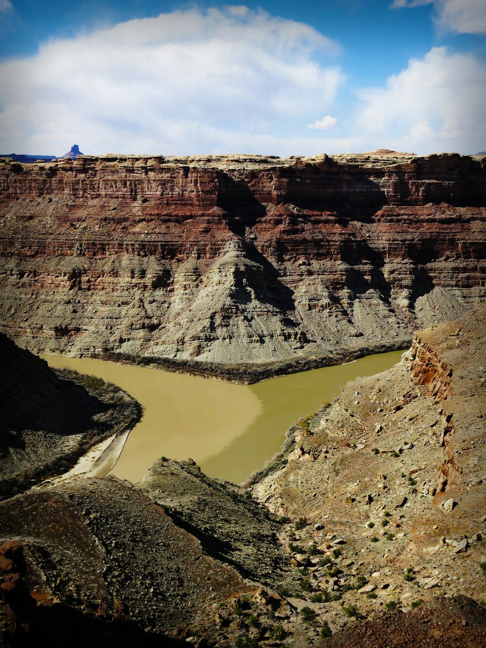
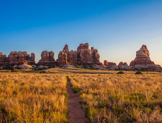
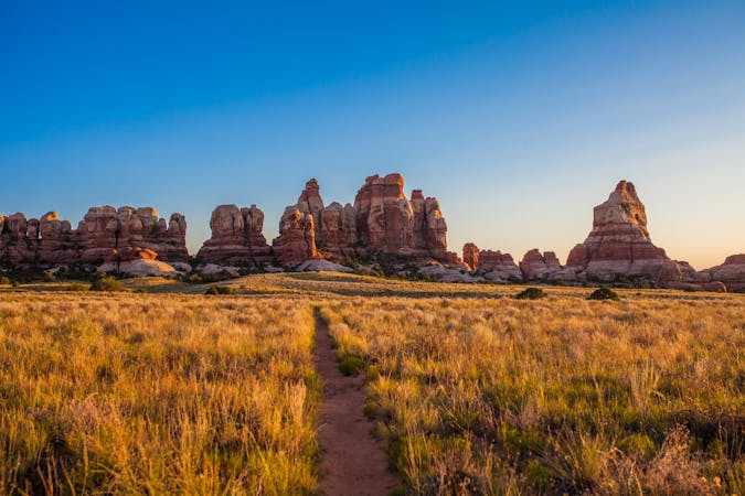
Easier hiking follows, as the trail transects two cliff-lined valleys of flat grassland, with a low pass between them. These valleys are examples of grabens, which are rifts that form over fault lines, and are characteristic of Needles District geology. In each of the grabens, the trail meets a 4WD road, where bikers and drivers may be encountered. The trail joins the road briefly and comes to an area with picnic tables and toilets. From there, despite no indication from the terrain of a sudden change, it’s only a bit farther to the abrupt drop off. All of a sudden, the trail stops at the edge of a huge cliff, and the panorama appears ahead. Below lies the rivers’ confluence, where two vast desert watersheds become one. The spot also marks the nexus of the three districts of Canyonlands, separated by the rivers. Directly across the main stem is The Maze, and above the confluence is Island in the Sky.
Sources:
https://www.nps.gov/cany/planyourvisit/hiking.htm
https://liveandlethike.com/2015/04/13/confluence-overlook-trail-canyonlands-national-park-ut/