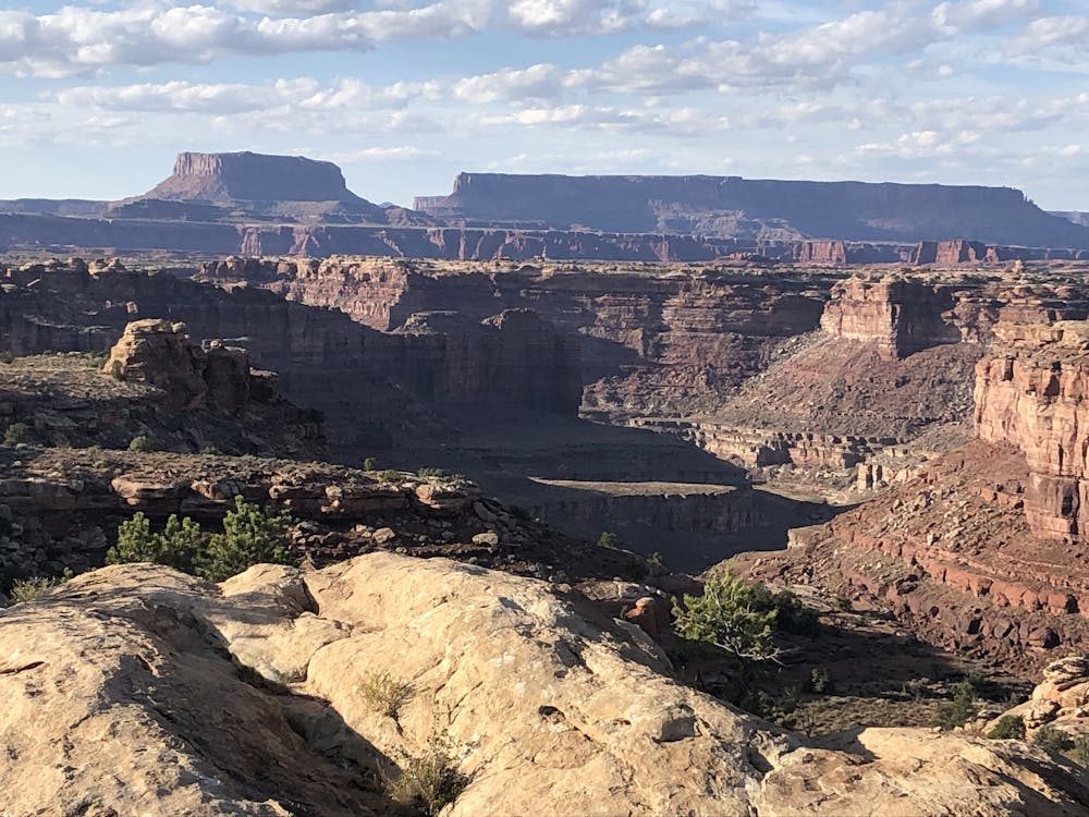
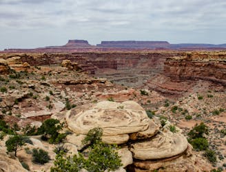
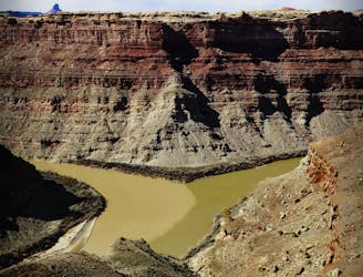
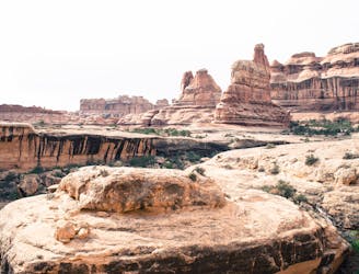
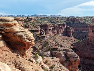
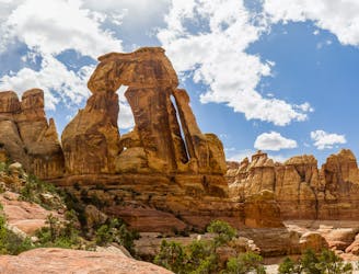
In addition to the distant views, there are nearer sights to admire as well: rock formations rippled like sand dunes, gullies and craters in the slickrock that hold water after rain, and the creatures that inhabit this unique environment. On almost any day, you’ll see lizards sunning and scurrying around, birds scanning for prey, and maybe even some bighorn sheep. If depressions in the rock (called potholes) are full of water, look for diving beetles and pothole shrimp––tiny crustaceans that emerge, seemingly by magic, with the rains.
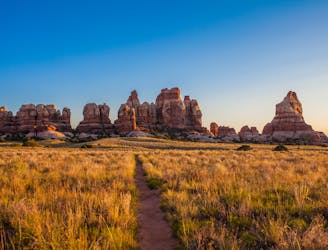
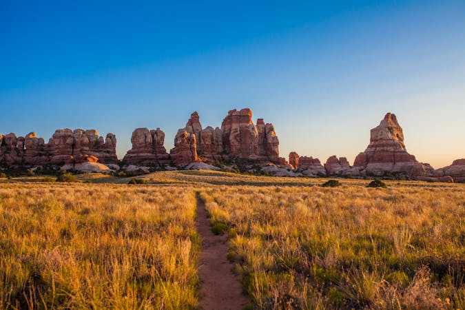
Slickrock Trail begins from a pullout near the end of Highway 211. If the roadside parking is full, park instead at the end of the road, at Big Spring Canyon Overlook, then walk a short distance back to Slickrock trailhead. The hike begins in a sandy wash, but soon goes up a few rock steps and onto the plateau. Views get good right away and only get better throughout the loop. Don’t miss out on side trails to the various viewpoints. The path across solid rock is not always easy to follow, so watch for signs and cairns (constructed rock stacks) that mark the way. Keep in mind that this hike is nearly shadeless and gets very hot in summer. Be sure to bring plenty of water and sun protection.
Sources:
https://www.gjhikes.com/2012/07/canyonlands-np-slickrock-trail.html
https://www.familycantravel.com/hiking-slickrock-trail-needles-canyonlands-national-park/