43 m away
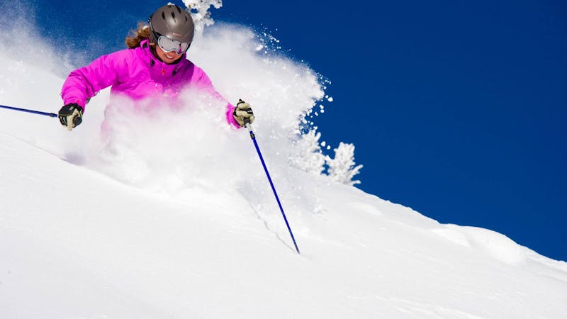
False Summit of the Throne

A steep open glade.
Difficult Freeride Skiing
- Distance
- 322 m
- Ascent
- 0 m
- Descent
- 195 m
A short hike up the Throne ridge reaches an open slope above a wide basin.
Freeride Skiing Difficult

High Saddle starts just a few minutes up the Throne ridge hike. Look for the small alpine first that dot the upper section. Watch for the traverse track below. This is a relatively easy run for those wanting to hike for a few fresh turns. Non-experts should avoid the cedar bench a third of the way down, where it steepens and often requires jumping off a cliff. Veer to the left through the opening in the trees for a consistent fall line to the bottom.
Difficult
Serious gradient of 30-38 degrees where a real risk of slipping exists.

Exposure is limited to that of the slope itself. Getting hurt is still likely if the slope is steep and/or the snow is hard.
Close to help in case of emergency.
43 m away
A steep open glade.
Difficult Freeride Skiing
98 m away

This is a relatively easy double black diamond face that opens into a wider bowl.
Difficult Freeride Skiing
139 m away

A shallow face that opens into a wider bowl
Difficult Freeride Skiing
202 m away

A narrow, shallow, steep chute above an open bowl
Severe Freeride Skiing
232 m away

A wide steep chute that opens into an open bowl
Severe Freeride Skiing
267 m away

Long narrow chute that opens into a wide bowl.
Severe Freeride Skiing
275 m away

A broad face that narrows into a steep chute before opening into Avalanche Basin.
Severe Freeride Skiing
275 m away

This 600 vertical foot run starts as an open face and narrows into steep gullies before opening into a wide basin
Severe Freeride Skiing
275 m away

A long hourglass couloir that opens into a wide bowl
Difficult Freeride Skiing
280 m away

A long narrow chute that opens into a wide bowl.
Severe Freeride Skiing
13 routes · Freeride Skiing · Ski Touring