SE Throne Right

A broad face that narrows into a steep chute before opening into Avalanche Basin.
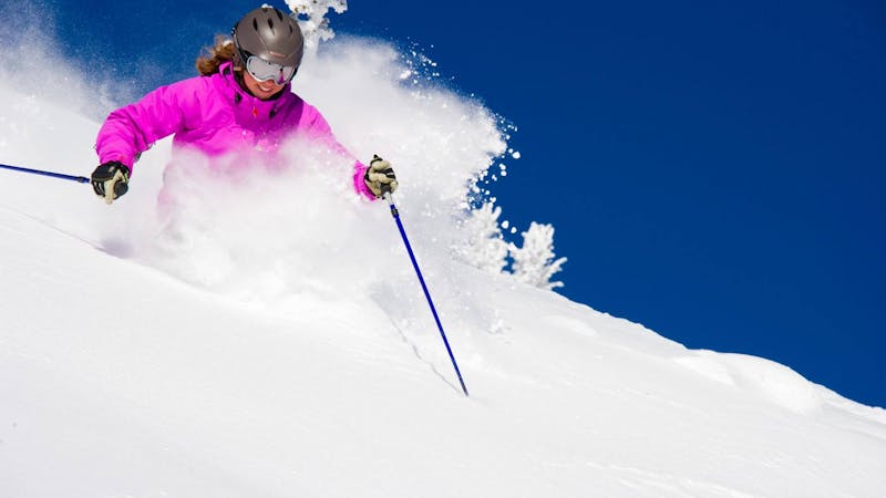
Severe Freeride Skiing
- Distance
- 262 m
- Ascent
- 0 m
- Descent
- 180 m
This 600 vertical foot run starts as an open face and narrows into steep gullies before opening into a wide basin
Freeride Skiing Severe

Route finding on SE Throne Left is even more challenging that SE Throne Right. For this reason, some of the lines are rarely skied. This steep run faces the sun and gets stripped by the prevailing winds. Under the right conditions however, this can be relatively untracked. Access from the upper Southback gate at the summit of the Throne. Follow the treed ridge on the skiers left until the slope opens up below. The further down the ridge you go, the more open it gets. There are two main runs in SE Left. The first one is a steep face that eventually drops away on the left, forcing you right toward the bottom of SE Right. Left of this face find an open couloir that narrows towards the bottom before opening into Avalanche Basin. Numerous other lines exist for those willing to launch off cliffs. Watch for rocks during shallow snow conditions.
Severe
Steep skiing at 38-45 degrees. This requires very good technique and the risk of falling has serious consequences.

As well as the slope itself, there are some obstacles (such as rock outcrops) which could aggravate injury.
Away from help but easily accessed.
A broad face that narrows into a steep chute before opening into Avalanche Basin.
Severe Freeride Skiing

A long hourglass couloir that opens into a wide bowl
Difficult Freeride Skiing
10 m away

Long narrow chute that opens into a wide bowl.
Severe Freeride Skiing
16 m away

A long narrow chute that opens into a wide bowl.
Severe Freeride Skiing
48 m away

A wide steep chute that opens into an open bowl
Severe Freeride Skiing
55 m away
Twin gullies that funnel through a narrow chute into Hamburger Basin.
Severe Freeride Skiing
83 m away

A narrow couloir that funnels through a steep, rocky chute
Severe Freeride Skiing
84 m away

A narrow, shallow, steep chute above an open bowl
Severe Freeride Skiing
109 m away

This short steep face is rarely skied due challenging route finding
Difficult Freeride Skiing
149 m away

A shallow face that opens into a wider bowl
Difficult Freeride Skiing
13 routes · Freeride Skiing · Ski Touring