5 m away
SST Loop
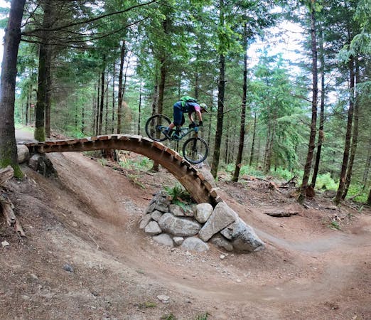
The best jump line on Galbraith's lesser-ridden north side.
Difficult Mountain Biking
- Distance
- 9.6 km
- Ascent
- 353 m
- Descent
- 353 m
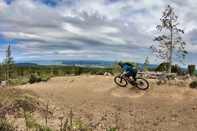
An XC-oriented figure-8 finishing with an entertaining flow trail descent.
Mountain Biking Difficult

Galbraith offers "over 65 miles of singletrack that winds through 3,000 acres overlooking the city of Bellingham and Bellingham Bay," according to local mountain bike advocacy group WMBC. "Because of the quantity of trails, the mountain can handle hundreds of hikers, runners, horse riders, and bikers during the course of the day without trail users feeling like the trails are busy!"
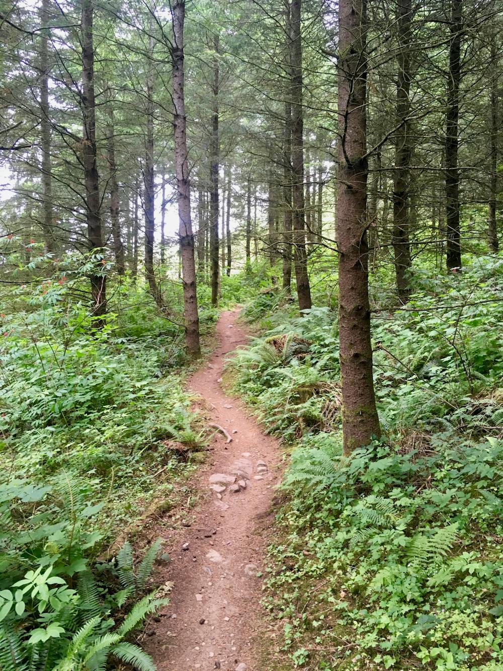
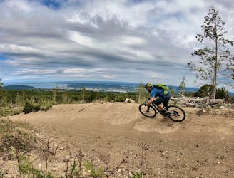
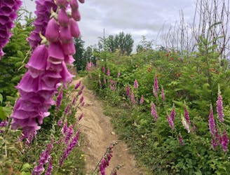
If you want to escape the crowds as much as physically possible, head to the lesser-ridden north side of the mountain. Here, you'll still find superb singletrack trails to satisfy your mountain biking habit—and Bob's is one of the best.
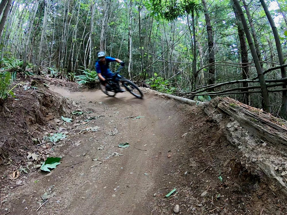
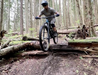
Bob's is a flowy romp down the mountainside with low bermed corners, low-angle booters that send riders out instead of up, and the occasional rooty section to keep you honest. Since Bob's will drop you right back down to one of the best trailheads on the north side, this trail has gained a following as a locals' favorite in this area of the network. As an added bonus, if you love shredding and flowing down a bermed singletrack but you don't enjoy getting huge air on massive jumps, Bob's will provide the perfect in between flow and challenge that you've been looking for!
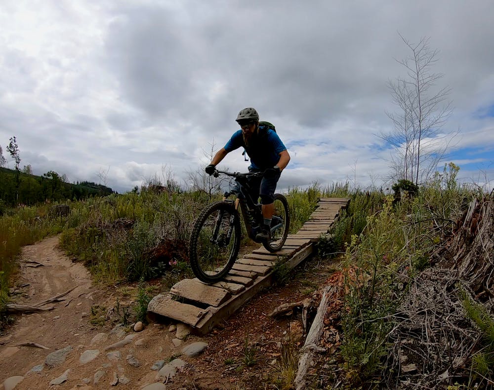
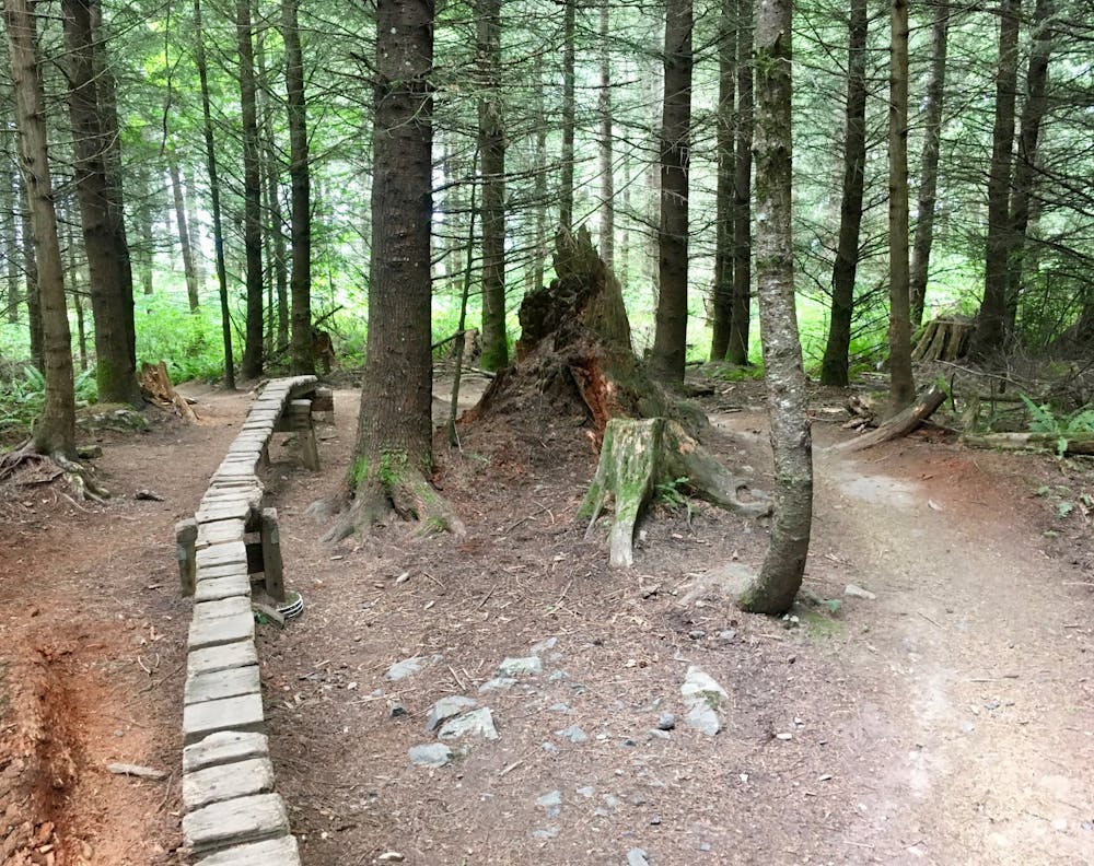
If riding up the hill and then dropping down Bob's isn't enough pedaling for you, it's easy to add in additional trails higher up the mountain. Consider adding Ewok Village, as mapped here. The singletrack above Bob's is decidedly on the XC end of the spectrum. For those who love to pedal, this zone is a breath of fresh air when compared to the downhill-oriented south side.
Whatever kind of mountain biking you enjoy, Galbraith has a trail to suit you—and this figure-8 ride is proof!
Difficult
Mostly stable trail tread with some variability featuring larger and more unavoidable obstacles that may include, but not be limited to: bigger stones, roots, steps, and narrow curves. Compared to lower intermediate, technical difficulty is more advanced and grades of slopes are steeper. Ideal for upper intermediate riders.

Some trail sections have exposed ledges or steep ascents/descents where falling could cause serious injury.

Away from help but easily accessed.
5 m away
The best jump line on Galbraith's lesser-ridden north side.
Difficult Mountain Biking
5.8 km away
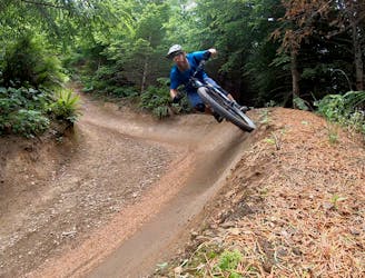
The biggest and baddest jumps on Galbraith!
Severe Mountain Biking
5.8 km away
Build your skills on this mellow, flowy singletrack loop.
Easy Mountain Biking
5.8 km away
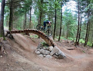
Unemployment Line is Galbraith's marquee jump trail, and is largely responsible for Galbraith's international fame.
Severe Mountain Biking
9.1 km away
If you're tired of the sculpted berms and manicured trails of Galbraith Mountain, try the old-school gnar of Brown Pow on for size!
Severe Mountain Biking
5 routes · Mountain Biking

16 routes · Mountain Biking

10 routes · Mountain Biking
5 routes · Mountain Biking