5 m away
Bob's Figure-8
An XC-oriented figure-8 finishing with an entertaining flow trail descent.
Difficult Mountain Biking
- Distance
- 9.3 km
- Ascent
- 264 m
- Descent
- 264 m
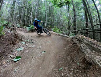
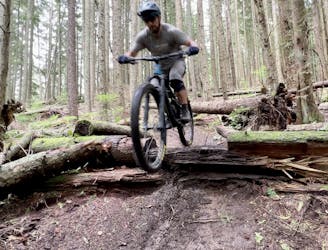
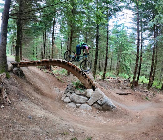
The best jump line on Galbraith's lesser-ridden north side.
Mountain Biking Difficult

Galbraith offers "over 65 miles of singletrack that winds through 3,000 acres overlooking the city of Bellingham and Bellingham Bay," according to local mountain bike advocacy group WMBC. "The mountain is accessible to all non-motorized users, but all of the trails are built and maintained by the WMBC. Because of the quantity of trails, the mountain can handle hundreds of hikers, runners, horse riders, and bikers during the course of the day without trail users feeling like the trails are busy!"
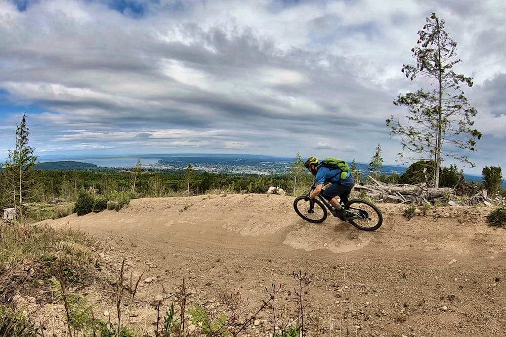
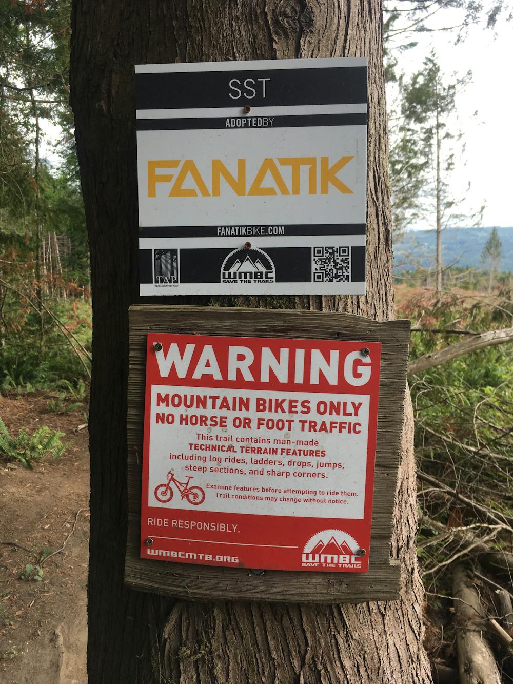
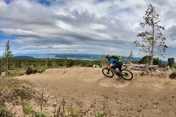
If you're truly trying to escape the crowds, head to Galbraith's north side. With ultra-popular trails like Unemployment Line more easily accessed on Galbraith's south side, choosing to pedal a bit to access the northern trails will often yield wide-open singletrack that you'll have all to yourself.
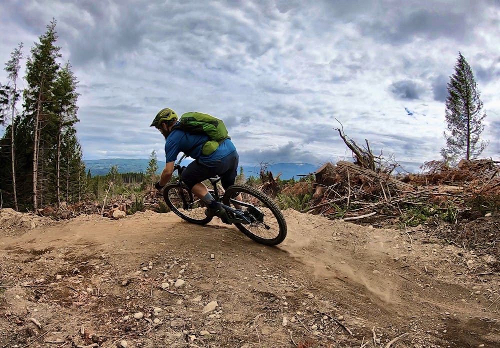
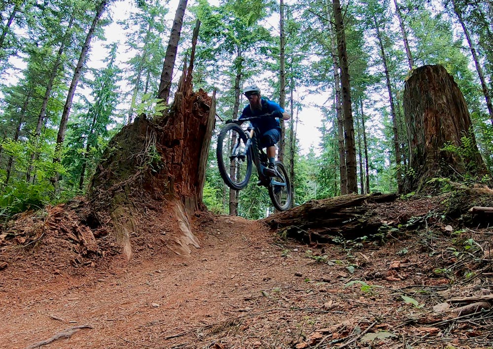
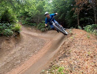
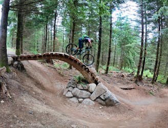
Despite being located further afield, you can still find some excellent jump and flow lines on the north side! The SST route mapped here is one of the best. While the jumps aren't quite as big and manicured as those on Unemployment Line or Mohawk, the massive scope of the berms allows riders to rail down the mountainside at top speed!
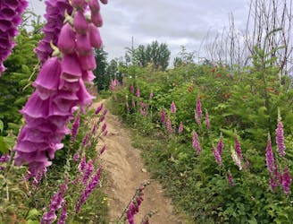
Galbraith Mountain is owned by a private logging company, and they periodically cut sections of the forest to sell the timber. Most of SST runs through a recent clear cut, which provides stunning views of the city and the bay below. While some riders may mourn the loss of the trees, you can also choose to enjoy the stunning views that the clear cut provides.
Difficult
Mostly stable trail tread with some variability featuring larger and more unavoidable obstacles that may include, but not be limited to: bigger stones, roots, steps, and narrow curves. Compared to lower intermediate, technical difficulty is more advanced and grades of slopes are steeper. Ideal for upper intermediate riders.

Some trail sections have exposed ledges or steep ascents/descents where falling could cause serious injury.

Away from help but easily accessed.
5 m away
An XC-oriented figure-8 finishing with an entertaining flow trail descent.
Difficult Mountain Biking
5.8 km away
The biggest and baddest jumps on Galbraith!
Severe Mountain Biking
5.8 km away
Build your skills on this mellow, flowy singletrack loop.
Easy Mountain Biking
5.8 km away
Unemployment Line is Galbraith's marquee jump trail, and is largely responsible for Galbraith's international fame.
Severe Mountain Biking
9.1 km away
If you're tired of the sculpted berms and manicured trails of Galbraith Mountain, try the old-school gnar of Brown Pow on for size!
Severe Mountain Biking
5 routes · Mountain Biking

16 routes · Mountain Biking

10 routes · Mountain Biking
5 routes · Mountain Biking