Trilho para completar o maciço ocidental, porém tivemos de desistir em Fuente Prieta devido à neve, não era possível ver o trilho, e era extremamente perigoso continuar.
Severe Hiking
- Distance
- 90 km
- Ascent
- 5.1 km
- Descent
- 5.1 km

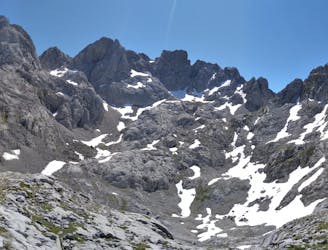
Escarpado con muchos cortados, neveros y grietas.
Difficult Hiking
- Distance
- 19 km
- Ascent
- 1.2 km
- Descent
- 2.3 km

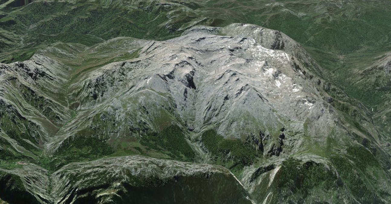
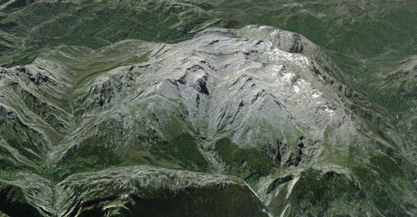
Espectacular travesía por el corazón de Picos de Europa
Difficult Hiking
- Distance
- 9.1 km
- Ascent
- 897 m
- Descent
- 829 m

Escarpado y con gran desnivel en poca distancia.
Moderate Hiking
- Distance
- 3.5 km
- Ascent
- 944 m
- Descent
- 0 m

Escarpado con muchos cortados, neveros y grietas
Difficult Hiking
- Distance
- 19 km
- Ascent
- 1.2 km
- Descent
- 2.3 km

Espectacular travesía por el corazón de Picos de Europa
Difficult Hiking
- Distance
- 9.1 km
- Ascent
- 897 m
- Descent
- 829 m
Paseo desde cerca de Colio hasta el Collado de la Llaguna pasando por las Minas De La Aurora
Moderate Hiking
- Distance
- 13 km
- Ascent
- 1.2 km
- Descent
- 1.2 km
Third day. Passing through La Llerona, Jou Las Pozas, and Fuente Prieta. Some of the nicest places of Picos de Europa.
Severe Hiking
- Distance
- 13 km
- Ascent
- 505 m
- Descent
- 1.5 km
Second stage passing through Collado La Fragua, Jou Santo and El Boquete. Probably one of the stunniest areas of Picos de Europa.
Severe Hiking
- Distance
- 11 km
- Ascent
- 1.1 km
- Descent
- 569 m

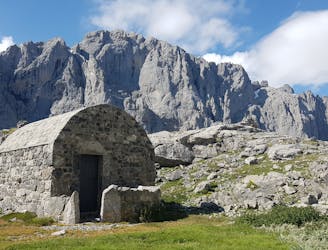
First stage. Very easy aproximation to old Vegarredonda hut. Can be done during the afternoon-night.
Moderate Hiking
- Distance
- 4.5 km
- Ascent
- 413 m
- Descent
- 28 m

Ascenso por la canal de Lechugales y descenso por la canal de Arredondas.
Moderate Hiking
- Distance
- 19 km
- Ascent
- 1.9 km
- Descent
- 1.9 km

A predominantly downhill walk with as amazing variety of scenery; high limestone peaks, large verdant green pastures and beautiful oak forests containing a variation to Cabaña Veronica.
Difficult Hiking
- Distance
- 16 km
- Ascent
- 1.5 km
- Descent
- 194 m

A hard steep climb to the most remote refuge in Spain situated at 2040m in the spectacular Jou de Cabrones
Moderate Hiking
- Distance
- 6.8 km
- Ascent
- 1.5 km
- Descent
- 39 m

A spectacular but steep climb along a narrow path to Bulnes and then a gentler, steady climb through farm land to the Pandebano Col
Moderate Hiking
- Distance
- 7.1 km
- Ascent
- 1 km
- Descent
- 44 m

A gentle but continual climb from Lake Ercina through mountain pastures and limestone rocks to the Ario meadow and the Vega Ario refuge dramatically situated in front of the Central massif high above the Carres gorge.
Moderate Hiking
- Distance
- 7 km
- Ascent
- 602 m
- Descent
- 102 m

Another classic walk which gives an excellent feel of the higher mountains landscape as well as magnificent views most of the way. At the Ordiales viewpoint there is a sheer 1000 metre drop over the Angon Valley.
Moderate Hiking
- Distance
- 7.7 km
- Ascent
- 750 m
- Descent
- 60 m