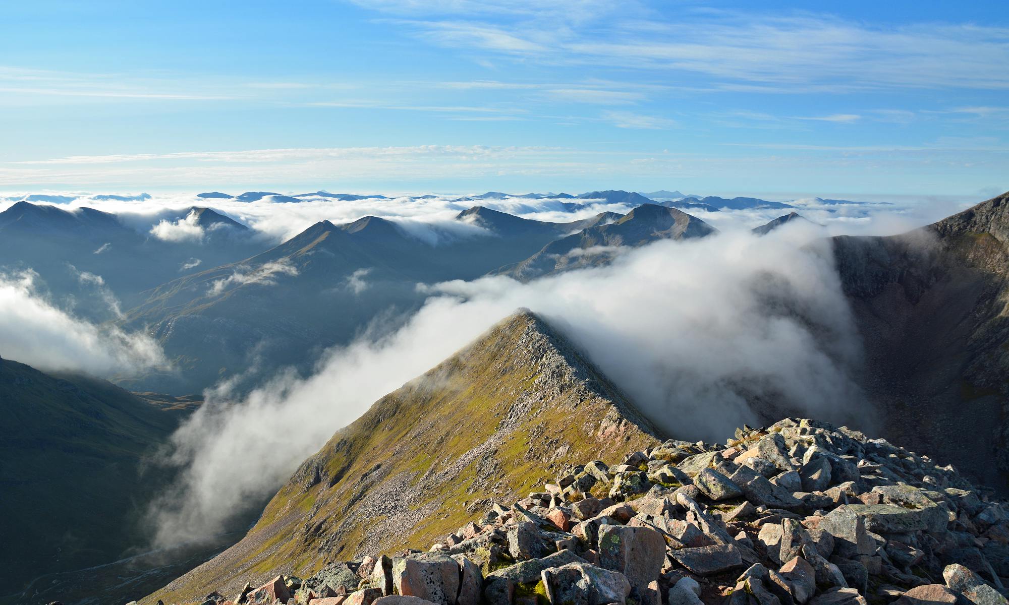
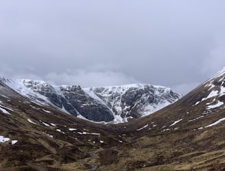
Beinn Eighe x2 Munros

Beinn Eighe x2 Munros - Rocky and uneven hike
Severe Hiking
- Distance
- 20 km
- Ascent
- 1.2 km
- Descent
- 1.2 km
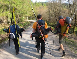
Explore Highland with curated guides of the best hiking trails, mountain bike trails, ski routes, and more. With over 165 3D trail maps in FATMAP, you can easily discover and navigate the best trails in Highland.
No matter what your next adventure has in store, you can find a guide on FATMAP to help you plan your next epic trip.
Get a top trail recommendation in Highland from one of our 13 guidebooks, or get inspired by the 165 local adventures uploaded by the FATMAP community. Start exploring now!
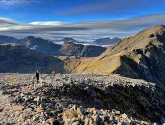
Beinn Eighe x2 Munros - Rocky and uneven hike
Severe Hiking

Waterfall walk with many variations
Moderate Hiking

Headland walk, starting at Mellon Udrigle beach car park
Moderate Hiking

Headland walk starting at the village hall
Moderate Hiking
A beautiful approach with the Grandeur of Ben Nevis gradually being revealed.
Moderate Hiking
A Classic Route for the Glencoe Area!
Difficult Hiking

a hike of the two glenfinnan munros,a very pleasant and gentle walk into the hills
Difficult Hiking

Isle of skye munro well one of the easier ones ,no ropes needed
Moderate Hiking
An easy, but long hike around the remote glens of the Cairngorms
Severe Hiking
Climb the classic 3* Raeburn's Gully before tagging the summit of Creag Meagaidh.
Difficult Hiking

Round trip from ski centre over Cairn Gorm and Cairn Lochan
Moderate Ski Touring

Hidden Valley - Bidean nam Bian - Stob Coire nan Lochan
Moderate Hiking

Glen Nevis campsite CMD, Ben Nevis round
Difficult Hiking
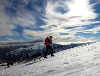
The ultimate long-distance ski-tour in the Cairngorms, starting from the Hayfield carpark at Glenmore.
Severe Ski Touring

A sporty couloir that's packed with historical significance
Severe Ski Touring

A direct and serious line straight from the summit of Stob Coire name Beith
Extreme Ski Touring