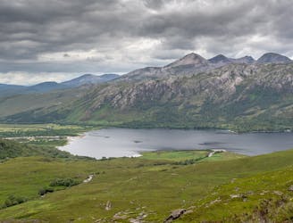
The Mighty Slioch
Seen from across Loch Maree Slioch is one of the great spectacles of the Northwest Highlands, a lone sandstone molar set in a jawbone of gneiss.
Difficult Hiking
- Distance
- 13 km
- Ascent
- 1.1 km
- Descent
- 684 m
The West Highlands mecca for hill walking. Scotland boasts some of the worlds most unique terrain and this typically stunning, challenging and isolated.
Go hiking in Torridon with curated guides of the best hikes across the region. With over 11 3D trail maps in FATMAP, you can easily discover and navigate the best trails in Torridon.
No matter what your next adventure has in store, you can find a guide on FATMAP to help you plan your next epic trip.
Get a top hiking trail recommendation in Torridon from one of our 2 guidebooks, or get inspired by the 11 local adventures uploaded by the FATMAP community. Start exploring now!
Seen from across Loch Maree Slioch is one of the great spectacles of the Northwest Highlands, a lone sandstone molar set in a jawbone of gneiss.
Difficult Hiking
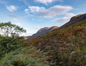
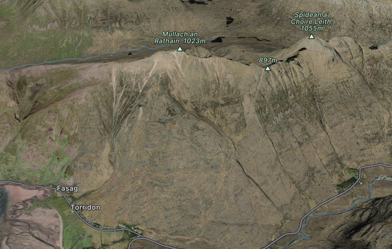
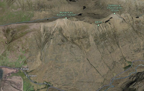
One of the true jewels of the north west, Beinn Alligin gives a stunning scrambly horseshoe that takes in two Munros and some exciting ground on the famous Horns of Na Rathanan.
Difficult Hiking
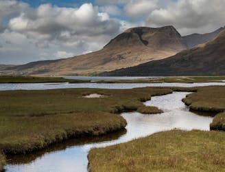
Rising from the forested shores of Loch Maree, arguably Scotland's best loch, this interesting and accessible Corbett offers stunning views of the nearby Torridon and Fisherfield hills.
Moderate Hiking
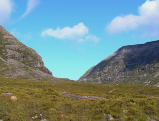
Torridon is the archetypal west coast range, and if you like your scenery on an epic scale it's unequalled.
Extreme Hiking

goes up 6 nice munros
Severe Hiking

Beinn Alligin x2 Munros
Severe Hiking

Beinn Eighe x2 Munros - Rocky and uneven hike
Severe Hiking

Crossing the Great Wilderness, tracing rivers and lochs on mostly good tracks but some pathless travel, with abundant views from comfortable wild-camp spots.
Difficult Hiking

This exceptionally beautiful stage begins by climbing steeply through forestry to Coulin Pass, then gently down an open valley with Beinn Eighe in view ahead. Continuing through a rural setting along the River Coulin, the path becomes more difficult as it enters a felled forest and regenerating growth before emerging at Kinlochewe.
Difficult Hiking