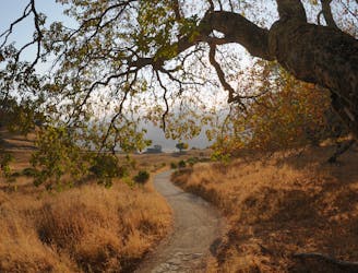
Tennessee Point
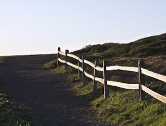
Hike from Rodeo Beach to a more secluded viewpoint along coastal cliffs.
Easy Hiking
- Distance
- 2.6 km
- Ascent
- 79 m
- Descent
- 79 m
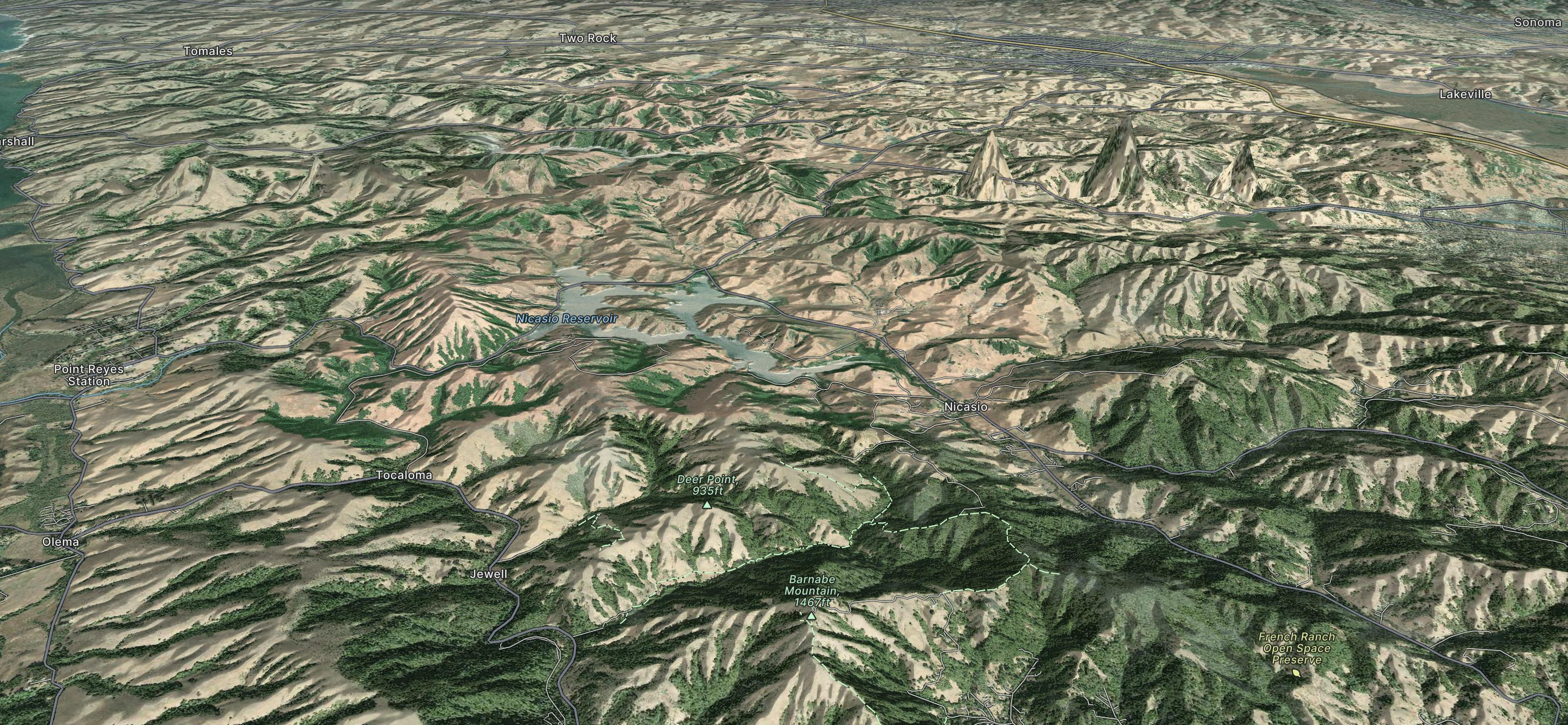
Explore Marin County with curated guides of the best hiking trails, and more. With over 27 3D trail maps in FATMAP, you can easily discover and navigate the best trails in Marin County.
No matter what your next adventure has in store, you can find a guide on FATMAP to help you plan your next epic trip.
Get a top trail recommendation in Marin County from one of our 11 guidebooks, or get inspired by the 27 local adventures uploaded by the FATMAP community. Start exploring now!
Hike from Rodeo Beach to a more secluded viewpoint along coastal cliffs.
Easy Hiking
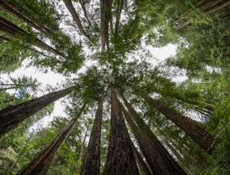
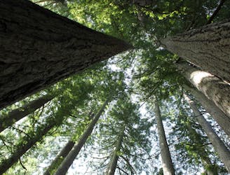
A beautiful loop connecting some of the best trails among the towering redwood trees in Muir Woods National Monument.
Moderate Hiking
The locally famous trail and race course from Mill Valley to Stinson Beach, through redwood forest and offering hilltop coastal views.
Difficult Hiking
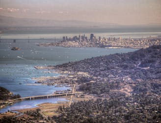
Short hike to the panoramic summit of Mount Tamalpais.
Moderate Hiking
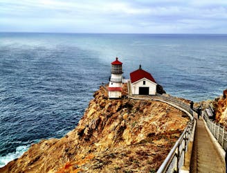
Cliff-top walk on a paved path to a historic lighthouse and whale-watching spot.
Easy Hiking
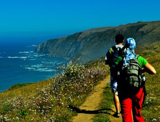
Wide-open views atop a windswept peninsula, with a good chance of spotting wild elk.
Moderate Hiking
A flowy, beginner-friendly trail network right on the coast.
Easy Mountain Biking
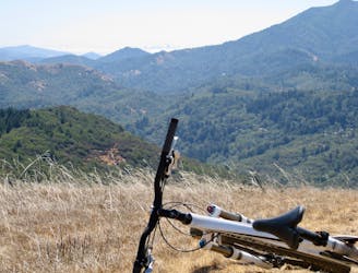
Easily the best singletrack riding in Marin County, the birthplace of mountain biking.
Moderate Mountain Biking

A breathtaking journey round a famous headland
Easy Hiking
A classic hike to a famous viewpoint
Moderate Hiking

The Miwok 100k course is hilly (11,800 feet of gain) but runnable, with spectacular views of San Francisco and the Golden Gate Bridge, Sausalito, Mount Tamalpais, the ancient redwoods and the Point Reyes National Seashore.
Extreme Trail Running