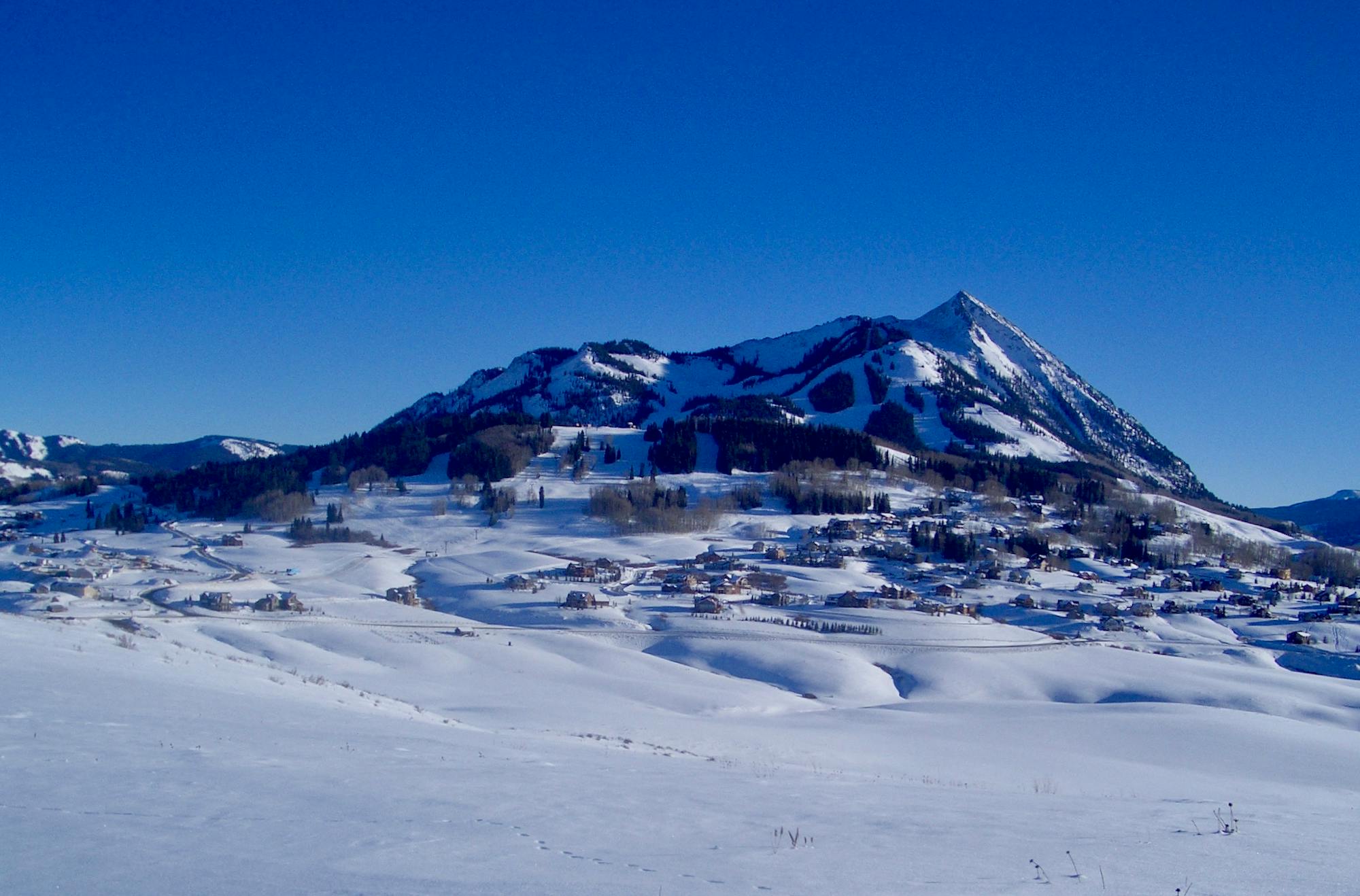
East Wall

steep route into the basin of the cirque
Difficult Ski Touring
- Distance
- 800 m
- Ascent
- 0 m
- Descent
- 216 m
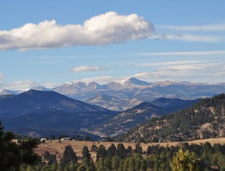
Explore Colorado with curated guides of the best hiking trails, mountain bike trails, trail running routes, ski routes, and more. With over 1641 3D trail maps in FATMAP, you can easily discover and navigate the best trails in Colorado.
No matter what your next adventure has in store, you can find a guide on FATMAP to help you plan your next epic trip.
Get a top trail recommendation in Colorado from one of our 149 guidebooks, or get inspired by the 1641 local adventures uploaded by the FATMAP community. Start exploring now!
steep route into the basin of the cirque
Difficult Ski Touring

Steep trail down Mount Eva
Severe Ski Touring

A scrambly jaunt to the top of the First and Second flatirons.
Severe Trail Running
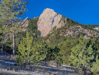
A scrambly hike to the top of the First and Second flatirons.
Severe Hiking
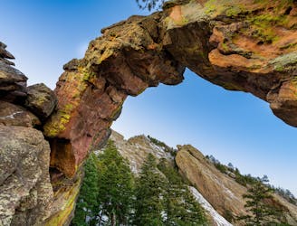
One of the most famous trails in Boulder, leading to a natural arch via a rough, rocky ascent.
Difficult Trail Running

One of the most famous hikes in Boulder, leading to a natural arch via a rough, rocky ascent.
Severe Hiking

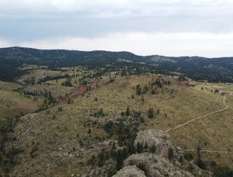
An iconic trail run above Boulder.
Difficult Trail Running

An iconic hike above Boulder.
Difficult Hiking
A true classic Boulder mountain bike ride.
Severe Mountain Biking

A scenic loop hike that's packed with history.
Moderate Hiking
A scenic loop run that's packed with history.
Moderate Trail Running

A highly trafficked trail system with great views.
Moderate Hiking

A highly trafficked trail system with great views.
Moderate Trail Running

A highly trafficked trail system with great views.
Difficult Mountain Biking
A highly trafficked trail system with great views.
Moderate Trail Running

A highly trafficked trail system with great views.
Moderate Hiking